

Blizzard of 93
-
Posts
13,037 -
Joined
-
Last visited
Content Type
Profiles
Blogs
Forums
American Weather
Media Demo
Store
Gallery
Everything posted by Blizzard of 93
-
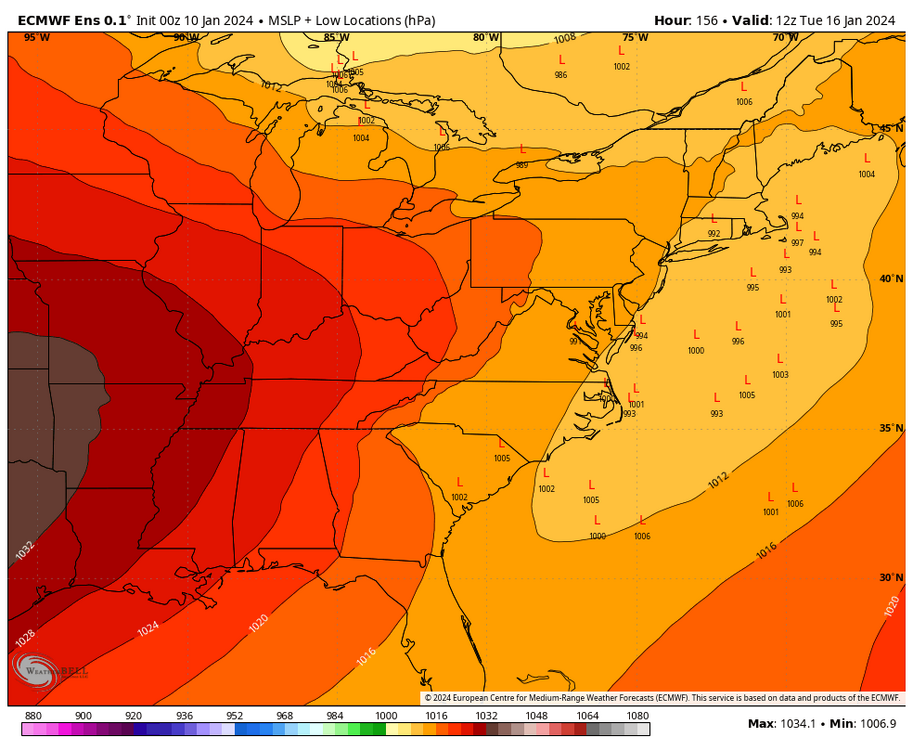
Decent signal on the 0z EPS for the 15th/16th chance. The snow is just for that 2 day period.
-
CTP looks to be getting on board the 15/16th chance.
-
M.L.King Day A chance of snow. Mostly cloudy, with a high near 32. Chance of precipitation is 30%. Monday Night A chance of snow. Mostly cloudy, with a low around 21. Chance of precipitation is 30%. Tuesday A chance of snow. Mostly cloudy, with a high near 28. Chance of precipitation is 40%.
-
The 15th to 25th could be quite interesting to track if the overnight models are on the right track.
-
The 0z Euro & 0z Canadian also have chances for the 19th/20th period.
-
The 0z GFS was really active with Winter Storm chances from the 22nd to 25th as well. At the least, we should be busy on here tracking chances this month if the GFS is on the right track.
-
6z GFS is coming around for the 15th chance as well.
-
The 15th/16th Winter Storm chance is still showing in the 0z Euro.
-
We have a good chance of a Winter storm next week & it will get very cold for a week…either way, they should be good next week…. mid January …..
-
33/30 in Marysville now
-
Light snow currently in Marysville. I will enjoy my snow TV this morning before the flood arrives.
-
Yes, good to see the 6z GFS step in the right direction for the 16th.
-
I’m saying my prayers…. I would be happy with half of this… Beautiful track…cold air in the pattern… we watch & wait…long way to go, but only a week…not in fantasy range anymore. Here is the 0z Euro
-
The 12z Euro yesterday had a juiced up storm that was just a bit warm & brought ice to many in CTP & snow to western areas of CTP. The 0z solution didn’t just come out of nowhere. Long way to go, but this is is the realm of possibility with the players on the field.
-
National Weather Service isn’t punting. @frd just shared this in the Mid Atlantic thread.
-
Teleconnections on the 12z EPS are mostly favorable once to this weekend through the end of the 15 day run. Translation… No punting.
-
The blend of the models today could provide a good event for the 16th. Timing will be everything with the players on the field.
-
The 12z Canadian was also a shredder, but the 12z Euro was amped & provided a snow & ice event to CTP this run. Long way to go until this is resolved.
-
The 18z GFS was close to giving us a solid event on the 16th, but it got shredded this run as it moved east.
-
No reason to punt the rest of January even if we miss on the 16th/17th. I think we have a good chance for a Winter storm in that period. There is plenty of cold that will be entering our region after the storm on Saturday. We will have our chances.
-
0z Euro & 0z GFS still have the Winter storm chance around the 16th.
-
If the front end potential doesn’t improve for Friday night into Saturday, then our next good Winter storm chance should be on the 16th. Most Ops & ensembles have a storm in that window. Hopefully everything lines up to get a widespread Winter storm for us.
-
Maybe snow snow TV for an hour or two before the flood?
-
As @Ji would if this was a bad model run…. The Eagles are an epic disaster!
-
I would take my chances with this in mid January. A low tracking from the Gulf coast to off of the NC coast should deliver a very good front end snow to mix dependent on the exact final track.


