

Orangeburgwx
-
Posts
2,592 -
Joined
-
Last visited
Content Type
Profiles
Blogs
Forums
American Weather
Media Demo
Store
Gallery
Posts posted by Orangeburgwx
-
-
Marco is a 993mb hurricane via latest VDM

Sent from my LML212VL using Tapatalk -
50kts will put it at 55mph, if he bombs out with a strong outflow wouldn't that trough erode before he gets there?Marco is strengthening. 996.4 extrapolated and unflagged and non rain contaminated SFMR of 48, 49, 51, 52kts. FL max of 69kts.
Sent from my LML212VL using Tapatalk
-
Unflagged 64kt barbShould be an interesting approach here. NE to SW center pass. SFMR gusts (rain contaminated) are pretty strong.
Sent from my LML212VL using Tapatalk
-
Yeah, that shear is insane. I wonder why it will not effect Laura the same way it will spread Marco?Marco has a narrow window to get right with an enormous ribbon of shear just to the NW, but it looks like it’s continuing the gradual trend of getting its act together. Recon finding a lower pressure and some stronger winds, especially at FL. Today’s the day for this one to reach its peak intensity given the guidance for the environment ahead.
Sent from my LML212VL using Tapatalk
-
Got anything to back that up?I don't buy anything beyond a 45 mph system here.
Sent from my LML212VL using Tapatalk
-
What the hell is going on with the GFS lately? Sheesh...
Damn, the Euro is 2nd worse... Even the v16Para out performed the ECMWF at the end of that chartIt's American thats why
Sent from my LML212VL using Tapatalk
-
Wonder what that closed vort they found was... MLC?

Sent from my LML212VL using Tapatalk -
FWIW:
Earliest M named storm
Tropical Storm Maria 9/2/05
Sent from my LML212VL using Tapatalk -
Looks like recon about to investigateThat shows potential I guess but land interaction is going to inhibit it. The models, I think, are underestimating it a bit. Not a lot of shear or dry air and some good warm water.
Sent from my LML212VL using Tapatalk
-
Wilma got down to 882 in the SW Caribbean, but Dorian packed unvarified 200mph+ winds on the SWRF dropscondsIf there were to be an Atlantic Patricia (and there will be in the next few years) it’s not going to recurve. A storm sub 890 and 200mph plus would occur in the SW Caribbean somewhere near the Caymans. That’s the the only area with MPI to pull it off. So it’s not escaping.
Sent from my LML212VL using Tapatalk
-
@Floydbuster time to change the header to Tropical Depression 14
Sent from my LML212VL using Tapatalk -
We are supposed to be in a suppression phase the next 2 weeks anyway, this is just bonus Invests to trackWhere exactly are the super favorable conditions? All i see is ultra bone dry air, massive shear, and super upper lows. Weak sauce at best. Maybe if 98L can survive the super unfavorable conditions and stay intact as a wave it might find a window somewhere.
My guess is the Euro will completely drop 98L this afternoon. I still hold out hope sept 20-oct 10 Might be a little better and a real storm might form. This remains an el nino pattern no matter what SST's are. If you showed me this picture and asked me el nino or la nina i would say strong el nino. Shear from the east pac will kill off 97L. 12Z gfs very weak. I pay no attn to the canadian. For the peak of the season and the supposed super favorable conditions the GFS makes josephine look like a cat5 compared to 97 and 98L. They are barely blips.
Sent from my LML212VL using Tapatalk
-
 1
1
-
-
Big daddy Atlantic ridge... It will smash TexasWhat?
Sent from my LML212VL using Tapatalk
-
1
-
-
YepApparently the GEFS hasn’t been handling things correctly according to @MJVentrice on Twitter...
Sent from my LML212VL using Tapatalk
-
Latest CFS has 2C above average all winterWe will get that look in November of 2020 and again in April of 2021.We can't buy a -NAO in the heart of winter.
Sent from my LML212VL using Tapatalk
-
JeshhhhhThe NOGAPS makes Kyle a 958 mb Braveheart-Superstorm near Ireland in a few days.
Sent from my LML212VL using Tapatalk
-
Shear, SAL, dry air... Lots of factorsWaves off of Africa are the main focus, but what about storms that form in the Gulf of Mexico. Living on the Florida Gulf coast, seems like these are the ones that catch us off guard and throw us into a sudden preparation.
Do the models for this year suggest anything out of the ordinary?
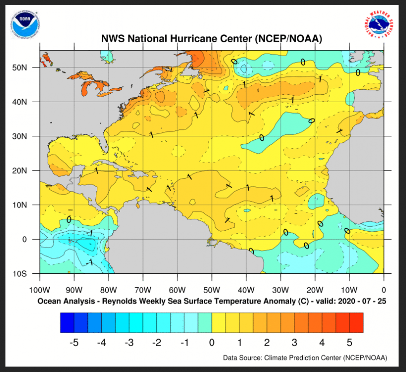
The SST Anomaly is above average right now in a large part of the Atlantic.
But what about other factors beyond my limited knowledge?
Sent from my LML212VL using Tapatalk
-
Sent from my LML212VL using Tapatalk
-
2
-
-
We now have Invest 93L
Sent from my LML212VL using Tapatalk
-
Uhm... This may get classified in short order. May not do anything crazy on a forecasted NW track into marginal waters and a more stable airmass. Still pretty suggestive ASCAT:
Yet the 8am disco...Looks like a TS...
Sent from my LML212VL using Tapatalk
-
Bone dry at 500mbSystem has really faded on modelling, has more dry air to contend with that we thought earlier, and now looks to be shear-plagued until it gets to about the area of the Bahamas. Also may have limitations due to land impacts if something can even get going. The ceiling is much lower for this system than what it looked yesterday. Very similar setup that led to the demise of Gonzalo. Only thing I'll say though is these two back to back systems are priming the atmosphere somewhat. Next system coming off the coast seems to have a more moist environment ahead of it. In the MDR region, it seems it takes a wave train sometimes before a system can break through, especially early in the season. I believe these systems are doing just that.
Sent from my LML212VL using Tapatalk
-
10-20%, time will tellSo for a layman who enjoys trying to make sense of the models you guys post, is it safe to say there's about a 40-60 chance of a SE landfall with this? Or are there certain models which are assumed to be more accurate?
*disclaimer that I understand that where it will be in 9-10 days is just about the DEFINITION of unpredictable*
Sent from my LML212VL using Tapatalk
-
Slight tick west when looking at 12z, 18z, and 0z
Sent from my LML212VL using Tapatalk
-
12z

Sent from my LML212VL using Tapatalk


General Tropical Discussion - 2020
in Southeastern States
Posted
Sent from my LML212VL using Tapatalk