LakeEffectKing
-
Posts
4,476 -
Joined
-
Last visited
Content Type
Profiles
Blogs
Forums
American Weather
Media Demo
Store
Gallery
Everything posted by LakeEffectKing
-

Upstate/Eastern New York
LakeEffectKing replied to BuffaloWeather's topic in Upstate New York/Pennsylvania
Not a bad point.... It's also a weakening LP, which adds to your point. -
Upstate/Eastern New York
LakeEffectKing replied to BuffaloWeather's topic in Upstate New York/Pennsylvania
Only with tracks like this. We have had a dearth of southern coastal systems the last decade. Also, if the antecedent airmass was colder, we'd have a better chance of p-type being snow...and that still may happen with the recent snows helping to hold the cold air at a deeper level to prevent IP/ZR...but, it is not a widespread deep snowpack. -
Upstate/Eastern New York
LakeEffectKing replied to BuffaloWeather's topic in Upstate New York/Pennsylvania
Models trending towards my thinking...don't get your hopes up too much on this one! LP's going into WPA or SWNY flood the lake plain with relatively warm air.. and models don't handle that well. -
Upstate/Eastern New York
LakeEffectKing replied to BuffaloWeather's topic in Upstate New York/Pennsylvania
I think the next system has a chance to be a sleet fest for many, dryslot for some and a surprise snow event for Northern NY...I've seen this Dog and pony show before...models always under do/(play catch up) (with) the northward extent of the low/mid level warm air advection with similar LP tracks of the past. -
Upstate/Eastern New York
LakeEffectKing replied to BuffaloWeather's topic in Upstate New York/Pennsylvania
GGEM north.... -
Upstate/Eastern New York
LakeEffectKing replied to BuffaloWeather's topic in Upstate New York/Pennsylvania
10" in Caz, and still moderate snow....nice "advisory" event here in Madison County! -
Upstate/Eastern New York
LakeEffectKing replied to BuffaloWeather's topic in Upstate New York/Pennsylvania
Picked up a quick 2 and a 1/2 inches here in Bridgeport In just over an hour. Tapering off right now. -
Upstate/Eastern New York
LakeEffectKing replied to BuffaloWeather's topic in Upstate New York/Pennsylvania
Tick north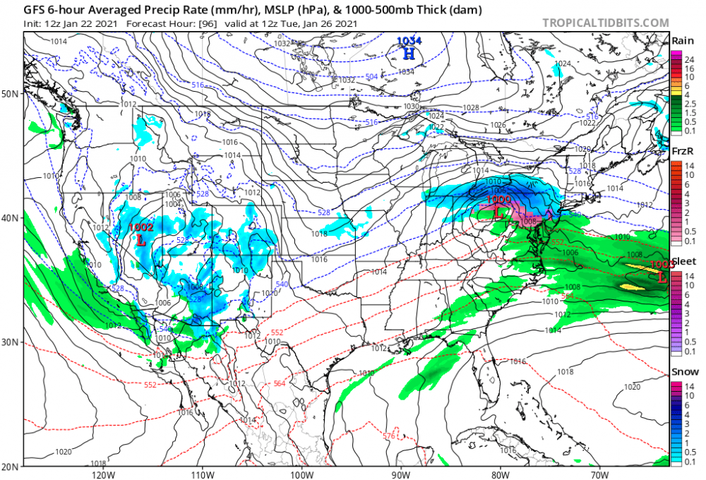
-
Upstate/Eastern New York
LakeEffectKing replied to BuffaloWeather's topic in Upstate New York/Pennsylvania
Yes... Heavy snow in Caz now. -
Upstate/Eastern New York
LakeEffectKing replied to BuffaloWeather's topic in Upstate New York/Pennsylvania
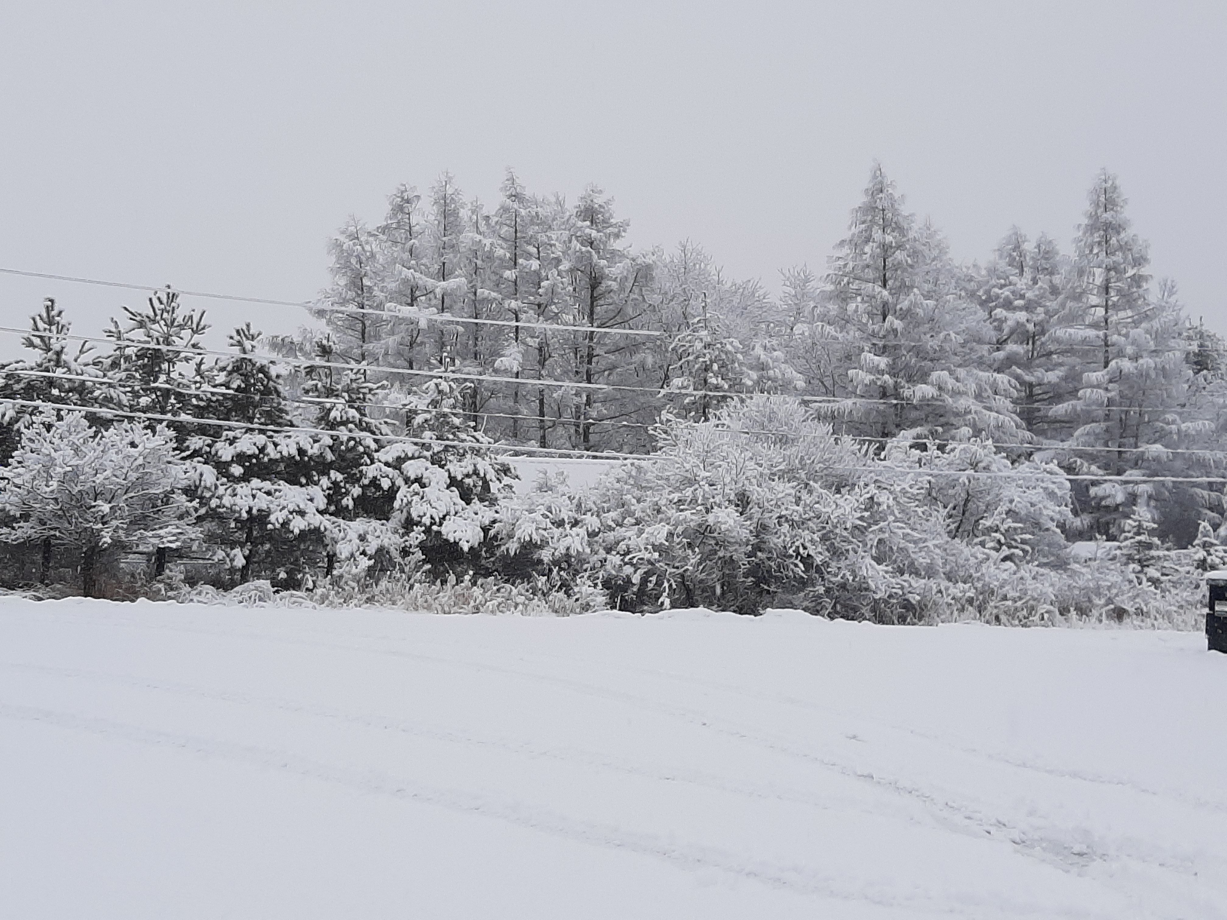
Looks like I picked up a heavy dusting overnight....maybe 2 light dustings...rates right now are about a half to three-quarters of a dusting per 4 hour. -
Upstate/Eastern New York
LakeEffectKing replied to BuffaloWeather's topic in Upstate New York/Pennsylvania
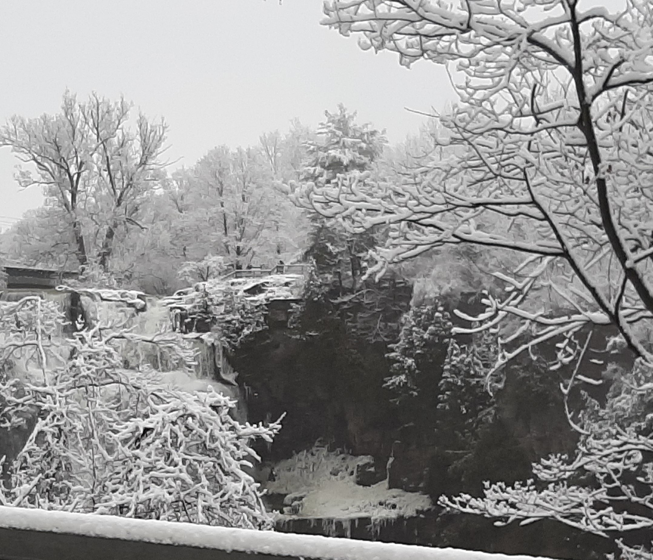
Chittenango Falls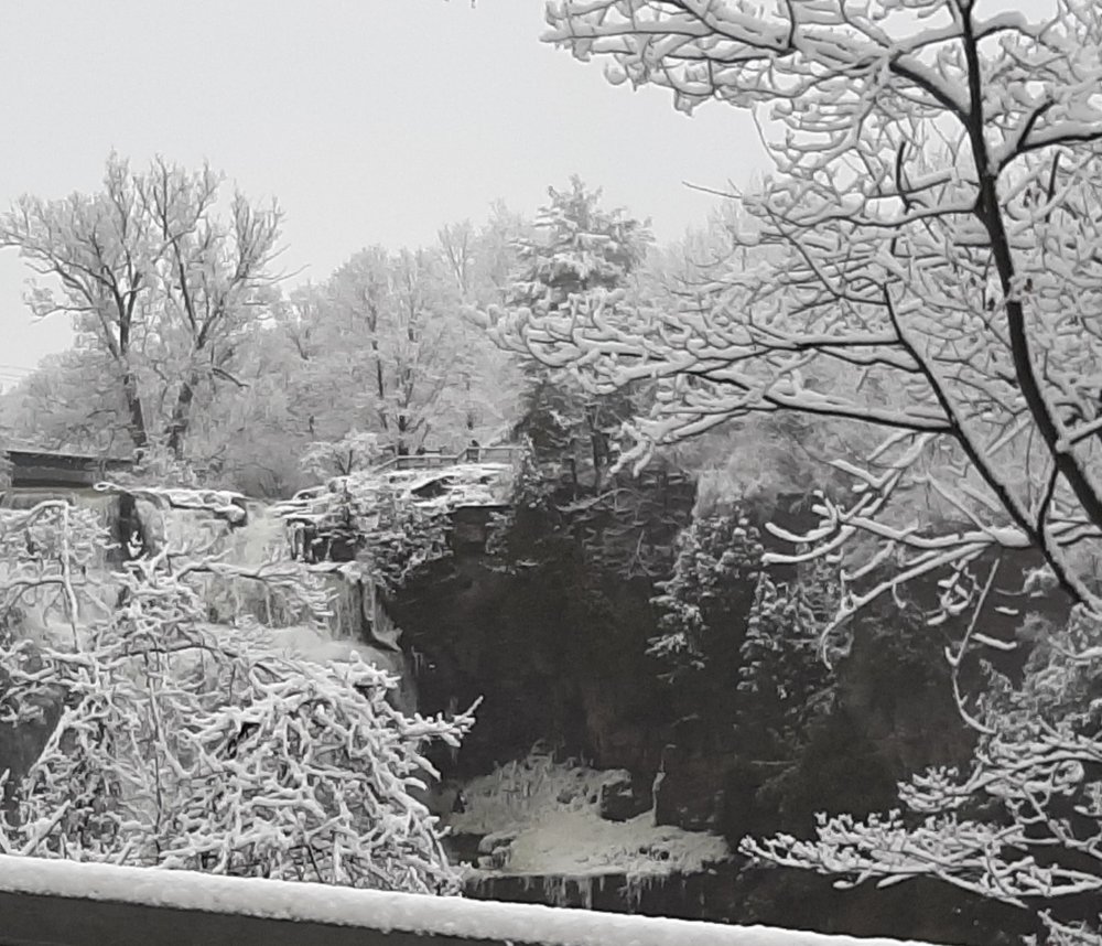
-
Upstate/Eastern New York
LakeEffectKing replied to BuffaloWeather's topic in Upstate New York/Pennsylvania
About 2.5"...light/moderate snow continues.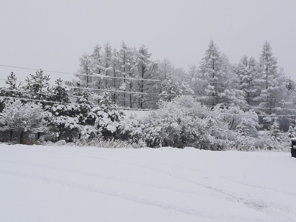
-
Upstate/Eastern New York
LakeEffectKing replied to BuffaloWeather's topic in Upstate New York/Pennsylvania
I just woke up. It's snowing pretty good in Cazenovia must've just flipped because I only have about 3/4 of an inch -
Upstate/Eastern New York
LakeEffectKing replied to BuffaloWeather's topic in Upstate New York/Pennsylvania
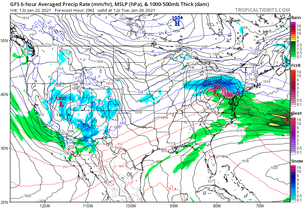
18Z nam delivers the goods to central New York -
Upstate/Eastern New York
LakeEffectKing replied to BuffaloWeather's topic in Upstate New York/Pennsylvania
The UK and the Canadian versus the euro and GFS. Quite the battle. -
Upstate/Eastern New York
LakeEffectKing replied to BuffaloWeather's topic in Upstate New York/Pennsylvania
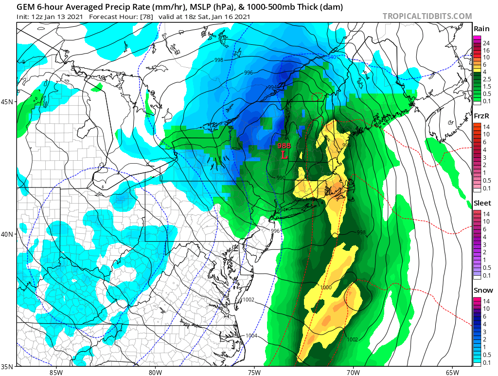
The Canadian has a Hudson Valley runner.. Nice band Of heavy snow right where you would expect it to be.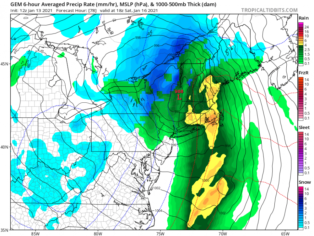
-
Crap...I thought the contest was min pressure/max wind before LF... I screwed up...
-
899 150kts
-
Lol! Potential for about 5-7 landfalls in FL and the N GOM coast within two days!!
-
If the eye clears in the next 4-6 hours, and the eye radius isn't too large, and with 12-18 hrs. of favorable conditions, Cat 4 is back on the table. before any anticipated weakening.
-
Ummm.....Marco already was a hurricane in the GOM.....before Laura...
-
The soon to be named Josephine will become a hurricane in 2 or 3 days, with a chance of RI when the shear is projected to drop to zero. MH threshold is not out of the question. Thereafter, I could see a pretty rapid weakening (decoupling) in about 4-6 days, if the shear values that are progged come to fruition.
-
Upstate NY Banter and General Discussion..
LakeEffectKing replied to wolfie09's topic in Upstate New York/Pennsylvania
N95 masks will offer the wearer a decent amount of protection...it's why medical professionals wear them. A cloth "face covering" certainly protects "others" more than the wearer, however, I'd argue that even a cloth covering does offer varying degrees of protection to the wearer vs. nothing, depending on a multitude of factors. -
Upstate NY Banter and General Discussion..
LakeEffectKing replied to wolfie09's topic in Upstate New York/Pennsylvania
I'm guessing/estimating that (now that testing is "better") we can look at the data and make some rudimentary (fitting into commonsense) deductions that the daily death counts in a particular area, are going to lag behind the "confirmed" cases by 10 days or so */- a few days..... ….thus, it's nice to see Italy's daily confirmed cases on a nice, prolonged downward slope. -
Upstate NY Banter and General Discussion..
LakeEffectKing replied to wolfie09's topic in Upstate New York/Pennsylvania
I read another article that Drs. were perplexed because they were getting really low oxygen levels in the blood of patients, yet CT scans/x-rays of lungs weren't "that bad".....it sounds like (from my modest biology knowledge) that this virus may indeed be more of an inhibitor of the normal uptake of oxygen at the red blood cell membrane level, and not so much a "respiratory" (aka...SARS) disorder. Thus, blood transfusions/100 oxygen hoods, and potentially hydroxychloroquine/Zithro treatments may be a better option than vents.....just thinking out loud as a layperson...