LakeEffectKing
-
Posts
4,476 -
Joined
-
Last visited
Content Type
Profiles
Blogs
Forums
American Weather
Media Demo
Store
Gallery
Everything posted by LakeEffectKing
-

Upstate/Eastern New York
LakeEffectKing replied to BuffaloWeather's topic in Upstate New York/Pennsylvania

-
Upstate/Eastern New York
LakeEffectKing replied to BuffaloWeather's topic in Upstate New York/Pennsylvania
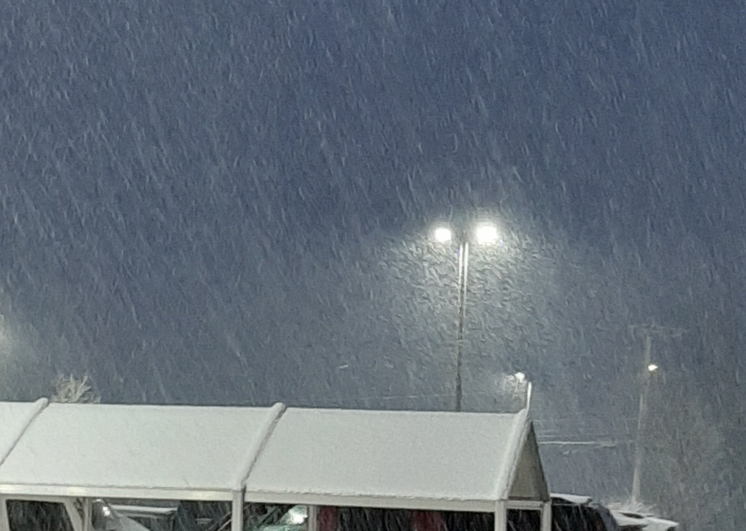
Yeah...constant, very light snow has been the theme here in Caz., with temps steady near 32...trees holding the snow very well the last 2 days.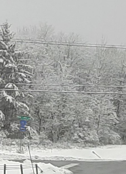
-
Upstate/Eastern New York
LakeEffectKing replied to BuffaloWeather's topic in Upstate New York/Pennsylvania
Next Monday's system is trending sharper/stronger on 12z GFS... -
Upstate/Eastern New York
LakeEffectKing replied to BuffaloWeather's topic in Upstate New York/Pennsylvania
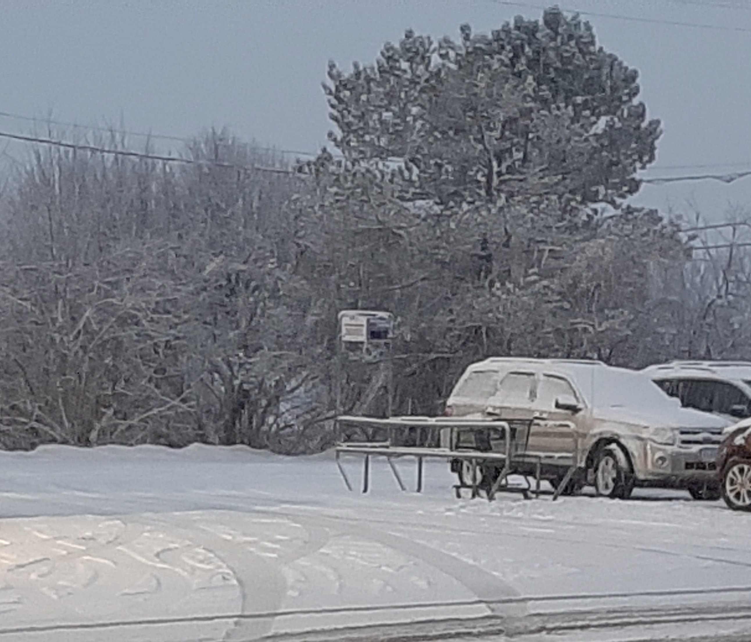
3.25" total for Caz. for the event. -
Upstate/Eastern New York
LakeEffectKing replied to BuffaloWeather's topic in Upstate New York/Pennsylvania
Probably an inch per hour rates right now. -
Upstate/Eastern New York
LakeEffectKing replied to BuffaloWeather's topic in Upstate New York/Pennsylvania
-
Upstate/Eastern New York
LakeEffectKing replied to BuffaloWeather's topic in Upstate New York/Pennsylvania

-
Upstate/Eastern New York
LakeEffectKing replied to BuffaloWeather's topic in Upstate New York/Pennsylvania
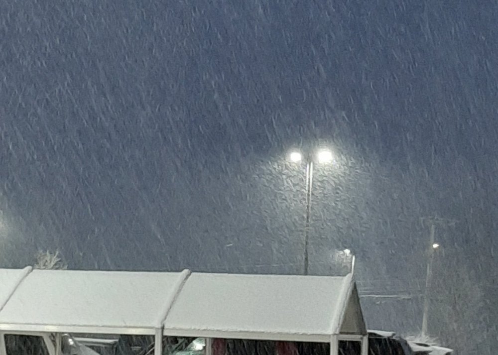
Heavy snow here and Cazenovia right now. Closing in on 2 and a 1/2 inches. -
Upstate/Eastern New York
LakeEffectKing replied to BuffaloWeather's topic in Upstate New York/Pennsylvania
1" of perfect snowball making sown...not to wet...9:1 I'd guess.... Agreed on back building potential...or some additional lift moving through later...most models hint at...nice little mood snow. -
Upstate/Eastern New York
LakeEffectKing replied to BuffaloWeather's topic in Upstate New York/Pennsylvania
Steady snow here in Cazenovia. Slowly increasing in intensity. -
Upstate/Eastern New York
LakeEffectKing replied to BuffaloWeather's topic in Upstate New York/Pennsylvania
50/50 sn/ip.....light. .1/2" of crust. -
Upstate/Eastern New York
LakeEffectKing replied to BuffaloWeather's topic in Upstate New York/Pennsylvania
IP/ZR....Prolly 50/50 here in Caz....1200'....not one flake. -
Upstate/Eastern New York
LakeEffectKing replied to BuffaloWeather's topic in Upstate New York/Pennsylvania
People golfing today... Disgusting... Nuff said. -
Upstate/Eastern New York
LakeEffectKing replied to BuffaloWeather's topic in Upstate New York/Pennsylvania
About 6-8" in Bridgeport. -
Upstate/Eastern New York
LakeEffectKing replied to BuffaloWeather's topic in Upstate New York/Pennsylvania
2" in Caz in 2 hours as band swept through. -
Upstate/Eastern New York
LakeEffectKing replied to BuffaloWeather's topic in Upstate New York/Pennsylvania
Nice! -
Upstate/Eastern New York
LakeEffectKing replied to BuffaloWeather's topic in Upstate New York/Pennsylvania
The heaviest snow always occur on the North side of a band when it's moving South and on the South side of the band when it's moving North. So you should finish strong! -
Upstate/Eastern New York
LakeEffectKing replied to BuffaloWeather's topic in Upstate New York/Pennsylvania
Congrats Ty! You have about another hour or so of this and then it should be on the move and weaken a bit. -
Upstate/Eastern New York
LakeEffectKing replied to BuffaloWeather's topic in Upstate New York/Pennsylvania
I think this event for South East of Lake Ontario is going to over perform a bit.... For areas in Oswego County... I go with 6 to 10".... And then late tonight into tomorrow morning a 4 to 7" accumulation for northern Onondaga county and probably closer to 8" in my neck of the woods in Madison County. -
Major LES event-December 24-27
LakeEffectKing replied to BuffaloWeather's topic in Upstate New York/Pennsylvania
Congrats WNY'ers... Band is definitely on the increase Ahead of the short wave.... Thinking the heaviest of snow for this event will occur over the next 3 hours as the convergence will really tighten up. -
Upstate/Eastern New York
LakeEffectKing replied to BuffaloWeather's topic in Upstate New York/Pennsylvania
Congratulations to Western New York on their white Christmas. Here in Cazenovia, I took several measurements throughout the night. At 8PM, we had no snow falling and 0" OTG. At midnight, I took several measurements throughout the yard, to account for drifting. All 3 measurements were 0". I woke up late this morning, and was surprised to see no snow on the ground, but knew it had had to have snowed overnight, but then some warm noise re-melted it all....so I'm gonna estimate we got about a foot in a short period, but it all melted. Merry Christmas! -
Upstate/Eastern New York
LakeEffectKing replied to BuffaloWeather's topic in Upstate New York/Pennsylvania
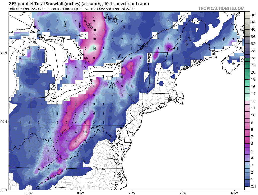
Just tracking last night's GFS parallel.... Not that I'm holding out hope for us in the East.....
-
Upstate/Eastern New York
LakeEffectKing replied to BuffaloWeather's topic in Upstate New York/Pennsylvania
Yeah....maybe a few lightning bolts thrown in! -
Upstate/Eastern New York
LakeEffectKing replied to BuffaloWeather's topic in Upstate New York/Pennsylvania
Synoptically, as stated previously, 2-4/3-5.... I'd like to see tonight swans and tomorrow morning's runs, Before putting out totals, Once the energy is sampled better. It's gonna make a huge difference is to whether or not these bands move 10 or 15 miles or if they remain quasi-stationary (5-10 miles). There certainly is potential for both areas off both lakes to get over 2' if the latter occurs. -
Upstate/Eastern New York
LakeEffectKing replied to BuffaloWeather's topic in Upstate New York/Pennsylvania
I agree With this post. Although I would say synoptically most areas should get a little more than a couple inces.....maybe 2-4/3-5... At least as it is depicted on the models right now. Cold air looks to be coming in quickly as the heaviest convection is taking place. Could be a couple hours of heavy snow.