
AWMT30
-
Posts
320 -
Joined
-
Last visited
Content Type
Profiles
Blogs
Forums
American Weather
Media Demo
Store
Gallery
Everything posted by AWMT30
-
Snow started 30 minutes ago rooftops and grass have started to whiten up. Zero rain to start here. Could we top 6" here it seems possible.
-
Snow has begun in Canton MI
-
@Stevo6899 Looking real good for some big time rates later on this evening for us. Things might work in our favor for once......
-
I just have this hunch and maybe I am bad luck by saying this but I think once dynamic cooling takes over parts of the Detroit Metro could get rocked with snow at the worst possible time with easily 1-2" prhr rates and maybe some thudersnow at rush hour.
-
I am deff going to keep my expectations low here in the Canton, Michigan area for our snow as we all know what can happen.
-
Weather is soo cool isn't it. The general public wouldn't know what that was or care across the IL region but guys like us are in awe.
-
Things are looking somewhat better for portions of SE MI and I am all for it! Enjoy Chicago Crew!
-
Shoot you are right I forgot to look at the dynamics of the model. My apologies. .
-
Riding the RGEM here in SE MI thats for sure.
-

Winter 2023/24 Medium/Long Range Discussion
AWMT30 replied to Chicago Storm's topic in Lakes/Ohio Valley
That track looks awfully alike to the Jan 5-6 2014 storm... Could we have a redux?? Its possible. -
Solid little snow event for the Canton, Michigan area I sure enjoyed it after a brutal sports weekend with the Buckeyes and Browns loss.
-
I have been stopped by the Plymouth Turkey "Jerry" so many times LOL
-
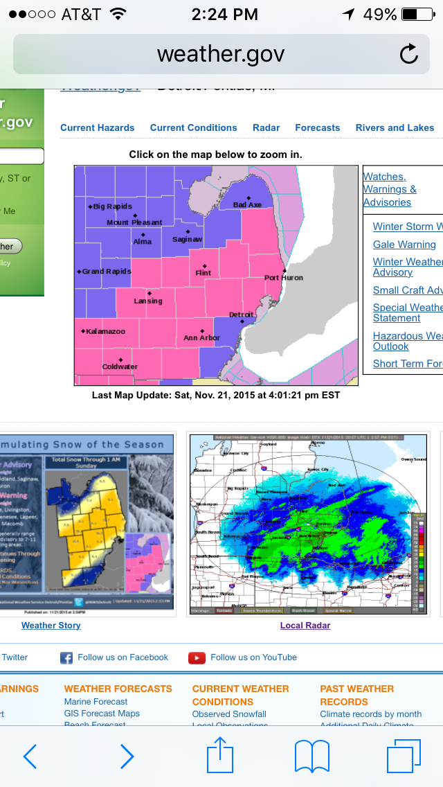
We have been getting drilled here in the Canton, Michigan area overnight with rain. Well over 3" since 1am. Another 1-2" looks likely. Flooding across Western Wayne and Washtenaw Counties will be pretty bad come first light.
-
well 2" in Canton here as of 6am. Someone near the Grand Rapids area who was a Meteorologist on Facebook stated he had 10" already...
-
Gotta give it up to the GFS here locally... Although we did not get the numbers it was showing and its's slight bump north there overall it held steady on the storm while the other models had it south for a time.
-
I would say about 5" here so far in Canton...
-
Could this finally be the one where DTW sees over 12" its been a minute...
-
Euro hammers Detroit
-
FWIW the 12z UKMET came in almost like the GFS.... I know the UKIE has been bad this winter but it is a model coming in line with the GFS..
-
It is really icing up on the trees.. That's a problem.
-
Not liking the trends tonight for Wayne County... I think like some are saying it's time to pay over due payments.
-
Midwest/Ohio Valley/Great Lakes Snow January 24-26
AWMT30 replied to Baum's topic in Lakes/Ohio Valley
8.1" here in Canton Michigan. An outstanding event -
Midwest/Ohio Valley/Great Lakes Snow January 24-26
AWMT30 replied to Baum's topic in Lakes/Ohio Valley
Would not shock me I think this may stall as it heads NE -
Midwest/Ohio Valley/Great Lakes Snow January 24-26
AWMT30 replied to Baum's topic in Lakes/Ohio Valley
I will tell you what the rate the snow fell after about 12pm was amazing. -
Midwest/Ohio Valley/Great Lakes Snow January 24-26
AWMT30 replied to Baum's topic in Lakes/Ohio Valley
5.4" as of 218 here in Canton thinking 1-3" more. Solid damn storm


