

canderson
-
Posts
24,853 -
Joined
-
Last visited
Content Type
Profiles
Blogs
Forums
American Weather
Media Demo
Store
Gallery
Everything posted by canderson
-
It’s raining. Lightly.
-
78 at my house today. Was 67 at Slippery Rock at 2.
-
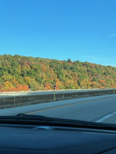
Good color on the turnpike out west as we drive to Slippery Rock
-
It breaks your heart. It is designed to break your heart. The game begins in the spring, when everything else begins again, and it blossoms in the summer, filling the afternoons and evenings, and then as soon as the chill rains come, it stops and leaves you to face the fall alone. You count on it, rely on it to buffer the passage of time, to keep the memory of sunshine and high skies alive, and then just when the days are all twilight, when you need it most, it stops. Today, October 2, a Sunday of rain and broken branches and leaf-clogged drains and slick streets, it stopped, and summer was gone.
-
Came out twice each for about 10 mins.
-
Sun is out now.
-
Can a bot do that?
-
I meant to ask if she did that when I saw it. Golden.
-
My wife is currently dressed like we're sleeping outside in Fairbanks in February ...
-
Only .02” today - rain won’t cross the county line apparently.
-
Sun's trying to poke through here. Not sure if it makes it fully, but it's very bright cloudy now.
-
Home gauge has .9” rain dating from Friday am.
-
Very little rain today again in NYC. Everything was streaming just S if the Manhattan.
-
Yea it rained early early but aside from sputtering and one very brief downpour it’s been dry. Tomorrow like much wetter actually.
-
NYC forecast today has been pretty busted, which is good. Some rain but mainly dry and sun poked out briefly.
-
Currently in SoHo and it was absolutely pouring 20 mins ago.
-
I’m on the train and have rain shells for NYC. There is no bad weather, just bad preparation.
-
47 here this am.
-
I won't be around Saturday to post probably so happy early birthday!
-
If so, you're just jealous!
-
Boooo. Oh well, we have 2 Broadway shows so really just the am shopping and between show walking to dinner will be impacted. Have the North Face rain shell out. At least it won't be cold (ie like 35).
-
When does it start, mind checking? Hopefully not until Saturday afternoon (though I fear overnight Friday).
-
OK, that is what I was thinking but hadn't looked if the H was going to still suppress the actual system. Gonna be a wet, wet Saturday in NYC methinks.
-
@Bubbler86 do models bring any wind up here?
-
Not sure it'll be over water long enough to regroup to get above a Cat 1, myself. But there is going to be a severe flood issue in the Smokies in the Carolinas and Apps in VA IMO.


