

dryslot
-
Posts
62,800 -
Joined
-
Last visited
Content Type
Profiles
Blogs
Forums
American Weather
Media Demo
Store
Gallery
Everything posted by dryslot
-
Looking at your totals for the season, I'm just a bit ahead of you at 78.73" but we missed out on a few that you guys had down there.
-
If i could, I would probably do the same as to what your considering, That area sits SW so it has sun on it all day, I have a lot of clay, And that area where i have the garden holds a lot of water so it would be impossible for ground plants, But i can control growth and pest much easier making soil amendments every year
-
Yes it does.
-
This sucks after earlier in the week but its early march still.
-
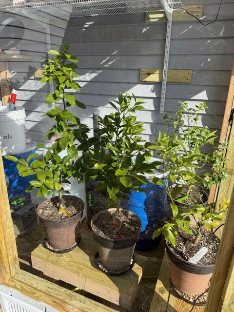
Mine are very happy, Going to be another 10 weeks or so before they get outdoors.

-
What we have for water content in this pack won't even make a dent in the drought.
-
After the 21st i would consider it no longer, Its still winter up here now.
-
I guess were not done with winter up here.
-
+42.9°F Diurnal swing in temps today.
-
Cracked 70 here, 71.1°F, It will be a distant memory tomorrow.
-
68.3°F, TORCH!
-
Yeah, Getting bad out, This is when the daycare parents can't stay on the tar and i will be repairing the lawn.
-
Bluebird skies out there, 63/36°F, Some slow melting of snow, But those frost heaves and pot holes...........
-
Oh, It probably will come in with a blue bomb event later in the month, Not even safe in April no less.
-
Its over, Time to move along to mud and back door season.
-
28.9°F, Today should be the warmest of the last 3 here, May tickle 70.
-
Now that riding season is over, Melt it all away, Today was a good start, High was 61°F, Next 2 days is 60's too, Extra hour of daylight doesn't hurt either.
-
Coating.
-
Yes, Sending gifts south from Maine as well, PC skies, 35.6°F
-
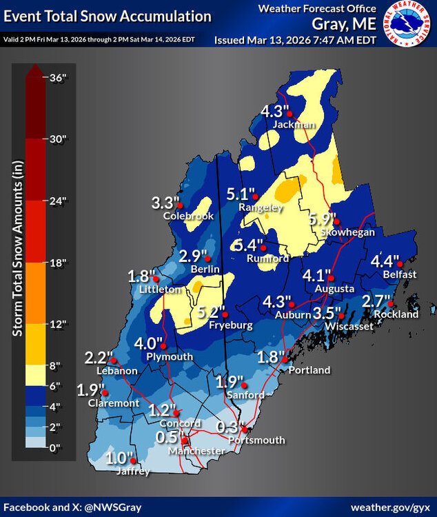
4.0"
-
That sucks, But i hear of this happening often in Canada, Was it just the sleds? Many times its the truck, trailer with the sleds.
-
Been underway for about 45 mins here, SN, 27/25°F
-
2-4" looks good.
-
Yikes.
-
Looks like models bumping up qpf late in the game for tues night.


