

jbenedet
-
Posts
7,149 -
Joined
-
Last visited
Content Type
Profiles
Blogs
Forums
American Weather
Media Demo
Store
Gallery
Posts posted by jbenedet
-
-
This weather is terrible.
Only the people that do nothing all day are cheering this on.
-
 2
2
-
 7
7
-
-
Not a good meso setup for the overcast/fog to stick; even in the most prone areas along the coast.
And then considering the near max ISR ; should disappear in all areas by 10
-
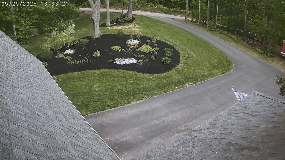
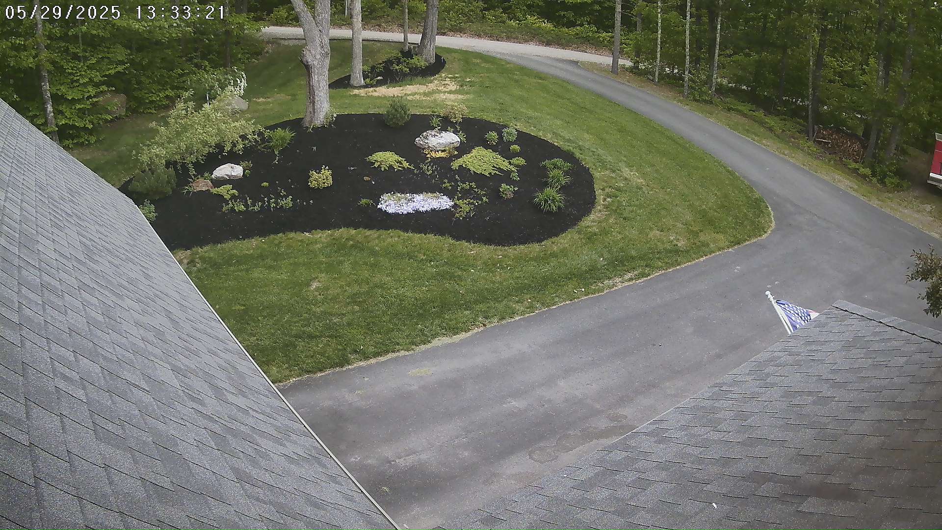
This has been the best spring in a while to plant grass seed. I got really lucky with the lack of heat/drought....
-
 1
1
-
-
Zero complaints on this weather. So comfortable.
-
5
-
-
2 hours ago, DavisStraight said:
I remember freezing my butt of at a ball game there in June one year, went for three games, wore a sweatshirt for the last two.
65 and full sun with a breeze at the moment in Newburyport MA.
-
1
-
-
We San Francisco.
-
1 hour ago, SJonesWX said:
foggy with lots of homeless people in tents on the sidewalks?
Said like someone who’s never been there.
-
A lot of east winds on the weekend especially in southern sections. Similar weather to last Sunday, it appears. Winners north/east, losers south.
I’ll take the San Francisco vibe up here on the coast. Love it.
-
total rain yesterday and today:
DAW: 0.1”
PSM: 0.06”
-
1
-
-
29 minutes ago, Sey-Mour Snow said:
GFS ruins the whole weekend here.. hope that doesn’t verify
Yea tough look down that way.
Saturday night, and Sunday looks okay here....
Best in Maine persistence continues, for late spring weather. Multi-year trend on this.
-
1 hour ago, dendrite said:
Interior FL is a hellhole. Gulf Coast Tampa-south is amazing. You need some air movement with the continuous 75-80+ dews and mins.
I’m seeing 101 heat index in Tampa right now. Hard pass.
I’m happy with HI below 85.
Today is perfect.-
2
-
 1
1
-
-
It’s amazing how second soil temps crack summer levels the crab grass explodes into existence. I’m grateful for the rain, and cooler temps right now. It’s giving my sprouting grass and young lawn a fighting chance.
Full Sun and dry for a string of days is especially detrimental for new lawns in June with the peak sun angle.
-
On 5/29/2025 at 1:41 PM, Lava Rock said:
with all the rain and fresh mulch, this is as good as backyard will look. Front yard looks better. sorry, no pic

It really doesn’t have to be this way; but you guys who want 88+ and endless sun are asking for it.
-
On 6/5/2025 at 11:55 AM, tunafish said:
What I assumed to have been brown rats that ate my carrot crop last Fall turns out to be Eastern Meadow Vole. I've got a lot of them. They carry ticks and will hurt the garden again if I don't deal with them.
I'm not dropping rodenticide, and trapping proved ineffective last year. They have a 20-25 day gestation period and once you trap one in their run, they stop using that run.
Other than predators (hawks, ermine, snakes), is there anything effective on these things?
Anyone had experience with them?
Neighbor put this down last year with pretty good success.
-
 1
1
-
-
1 hour ago, weatherwiz said:
Friday definitely looking a bit more intriguing. Shear is very weak so this isn't a big severe setup but could be good for some local microbursts and lots of lightning.
Assuming the 12z GFS is correct. A big assumption right now - but that has a great look for strong/severe Sunday afternoon.
-
1 hour ago, TauntonBlizzard2013 said:
This is not nice for June 1, sorry. It’s windy and barely touching 60
It’s mid 60’s, partly to mostly cloudy and a nice breeze here. This is perfect weather for all things outdoors minus water. And water doesn’t really come into the mix until July in our region so if you’re disappointed that’s on you.
-
1
-
-
Another beautiful spring day.
downslope persistence ftw.
-
1
-
-
15 hours ago, SJonesWX said:
you are the single most disingenuous poster here. You were around 70 for what, an hour or 2 this afternoon? There was nothing nice about today. I hit 68 for an hour or 2, otherwise it hasn’t stopped raining. Up to 1.5”
spent some time at an outdoor wedding in your neck of the woods, near the NBill T stop. It was chilly and windy, but not a lot of rain fortunately. After 3 hours of the damp cool air, I was frickin freezing.
Wonderful day here. Again.
sorry guy
GWDLT.
Downslope FTW is the theme.
-
2 hours ago, jconsor said:
7 hurricanes and 5 majors in the Atlantic (and 6 and 5 in the East Pacific) is a rather comical outlook
Throw your darts.
There isn’t enough initialization data to make such predictions. And where we have good data coverage, it’s accuracy (inherent error) out to month long timescales that bites.
We’d all be much better off killing this aspect of the science.
Do it for fun; but let’s stop there.-
2
-
1
-
-
Another nice day. Topped out around 70 with light winds.
I think this has been our best May in a while. So comfortable.
-
1
-
1
-
 1
1
-
-
Verbatim we are probably looking at 2-5"; (6" locally) of rain collocated with the mountainous areas of the far interior. Berks, southern greens, monads look like hardest hit areas.
-
2
-
-
Tbh the mid level synoptics are nuclear for May 31. If this had even a slight tropical connection it would be a doozie.
Gonna be flirting with 970's as it passing our region. Pretty damn difficult to do this time of year without the tropics involved.
-
2
-
-
51 minutes ago, CoastalWx said:
Someone in NW CT to western MA and SW NH is going to get inches of rain.
Yea. This is obvious. How many inches?
-
Saturday: 64
Sunday: 63
Monday: 72
No complaints here.
Extend this through June, for as long at the ocean is too cold to go in. I’m good.
-
2
-
 1
1
-
June 2025 Obs/Disco
in New England
Posted
Only thing that loves the heat we had the last three days is crab grass. Shit grows so fast can watch it real time.
Oh yea, and some of my sun loving plants got scorched bc it was so hot…
Just all around bad weather.
Today is wonderful, clouds and all.