

Yanksfan
-
Posts
1,130 -
Joined
-
Last visited
Content Type
Profiles
Blogs
Forums
American Weather
Media Demo
Store
Gallery
Posts posted by Yanksfan
-
-
Looks like a basin wide event is in the making. A pretty good bump up in sea surface temps are being observed in the central and western regions according to TT the past couple of days.
-
 4
4
-
-
If this El Niño goes nuclear I’m hoping for a western lean or you can kiss another winter goodbye.
-
Region 3.4 continues to drop down to .32. Region 1.2 after an earlier significant drop has leveled off for the time being. I’m having some serious doubts of a super El Niño let alone a strong one. My gut tells me we peak out at a moderate basin wide event. I’d certainly take my chances with that during the winter for folks in the NE/ Mid Atlantic regions.
-
3
-
-
50 minutes ago, snowman19 said:
There is no such thing as a super Modoki El NiñoWith the ongoing climate change we will continue to see extreme weather events in increasing frequency and out of the ordinary weather anomalies.
-
I read somewhere that super Ninos are either eastern based or basin wide, but what if a fluke occurred like a super Modoki Nino? In that extreme setup would we end up with a prolific winter, or would the Nino overwhelm us with AN temps?
-
On the subject of climate change and the increasing volatility going on with the weather, you think Mother Nature can conjure up the first ever modoki based super El Niño next winter? I would love to see NYC receive 100” of snowfall in a season!
-
2
-
-
4 minutes ago, MJO812 said:
Man this winter sucked
You can't even trust the models 3 days out.
Awful
Quote
Despite what the GFS just showed, I’ll give it to 12Z tomorrow although it would be a fitting end to an absolute atrocious winter with one last knee kick to the nuts. Old man winter owes us big time next year.
-
3
-
-
15 minutes ago, jdj5211 said:
This is all about the trend here for me. The trend is west and colder. That’s a good thing because it could be going the other way. Now we wait for the fine tuning and see how it plays out. There’s still some time on the clock here.
You might be right. The double barrel low showing up on the models today may be in response that they are not done trending towards a more favorable outcome. We’ll see.
-
1 minute ago, MJO812 said:
Uh ? It just shifted west
We need the dynamics
1 minute ago, mannynyc said:Double barrel low on the Euro

Very confusing run. I didn’t notice the western low just the dominate one which was way east at first then hooked toward the cape. I noticed the northern stream dug more as well so was hoping for a better outcome. Oh well.
-
3 minutes ago, mannynyc said:
GEFS ensembles look great though

Some big hits in there.
-
1
-
-
4 minutes ago, ILoveWinter said:
Lack of a high/cold air source is an issue but I would have thought a storm of that strength at the benchmark would generate enough of its own cold air to keep it mostly snow at the coast...?
A track and intensity that the Euro just depicted should have showed a colder solution. Of course I’m just talking hypothetically. Lots of scenarios on the board still. We continue to track!
-
Wow. Euro was real close to being historic. We just needed a bit more of northern stream interaction. Big improvements nonetheless with the Euro and CMC backing away from a hugger solution.
-
4
-
-
4 minutes ago, Winterweatherlover said:
CMC/Euro really want to hug, gfs still way east, can they meet in the middle?
We need it to to go benchmark and really bomb out. There’s no cold high in place.
-
5 minutes ago, David-LI said:
Love that loop
Perfect track.
-
 1
1
-
-
4 minutes ago, EastonSN+ said:
Track is near perfect.
Forget the thermals, with the precip rates this is a lot of heavy wet snow (no not white rain if you are under the banding).

Yep the thermals are highly questionable in that run. An exploding low down by the Delmarva with rain? Don’t think so. That was an entertaining run regardless. Tons of potential.
-
2
-
1
-
-
3 minutes ago, EastonSN+ said:
The GEFS is as perfect as it can get.

Gorgeous. Let’s get the Euro/EPS follow suit.
-
5
-
-
21 minutes ago, MJO812 said:
Caving also
It pops a low as well, but only NNE cashes in.
-
1 hour ago, MJO812 said:
Wow

Meanwhile the GFS is worlds away, but does show some baby steps towards the EURO. Since the potential storm is a week away, we will continue to see some wild swings with solutions from the Ops. I’ll focus more with the ensembles for now and look for trends.
-
3
-
-
2 minutes ago, Winterweatherlover said:
12z Euro is a big rainstorm but probably doesn’t matter this far out, big storm signal still there
You know the deal with models that shows a cutter. They almost never waver from that solution. At this point in time follow the ensembles and look for trends.
-
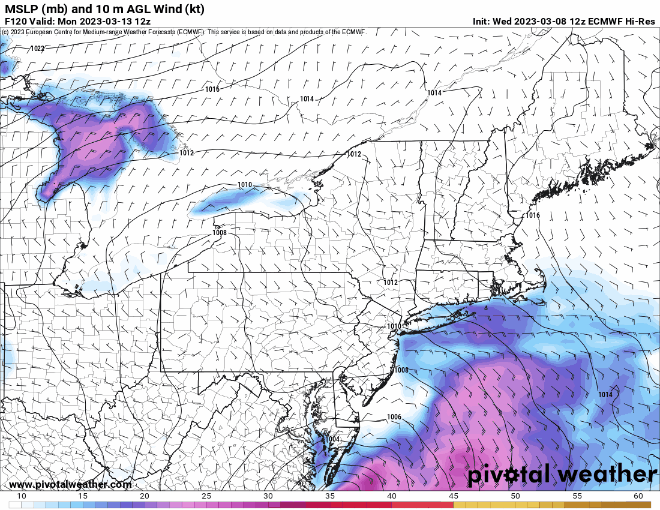
18z GFS comes close to a KU event mid month.
-
2
-
-
6 minutes ago, MJO812 said:
Different pattern
Correct me if I’m wrong, but to me when it comes to the “big ones” the CMC and especially the Euro sniffs them out 7+ days out, while the GFS lags behind only to catch on as we get closer in.
-
2
-
-
11 minutes ago, MJO812 said:
What a fantastic look for March.
Tanking EPO
Rising PNA
Negative NAO
Dropping AO
MJO in 8 at a high amplitude
DT is now on board for an active March along with other meteorologists.
GEFS and EPS are also on board
That’s great news, but can we save the Friday storm in time?
-
I ended up with 3.5”. It felt like shoveling cement.
-
SE ridge is killing us this winter. Damn La Niña. Hope that tonight’s storm over produces.


El Nino 2023-2024
in Weather Forecasting and Discussion
Posted
That’s a snow weenie’s wet dream, but I’ll take the conservative approach. If the models still shows dateline forcing with a strong Nino by the time October rolls around then it’ll get my attention. As of now from my perspective it’s like looking at a blizzard on the GFS at hr 240.