backedgeapproaching
-
Posts
3,819 -
Joined
-
Last visited
Content Type
Profiles
Blogs
Forums
American Weather
Media Demo
Store
Gallery
Everything posted by backedgeapproaching
-
Just peaked into the Upstate NY thread....looks like last night pounded in some of those lake effect snow belts near BUF. Yes, it will sublimate in half by tom morning --wanted to say that before Dendrite or Scooter did..
-
Looking like a pretty good stretch for the NVT and NNH crew...maybe a bunch of smaller events and refreshers. 5.0" event final here.
-
Yea JSpin-off the charts anomalous really. I have a small data set obviously, but you can see it below. 15-16 certainly sticks out and honestly it could have been a lot worse here, I recall getting really lucky in a few skinny lake streamers and some other very localized event otherwise it could have easily been 20" here in 15-16. The closest COOP to me which is Peru---was 20" lower than any other season in its 80 year history. 14-15- 103.2" 15-16- 32" 16-17- 99.6" 17-18- 138.4" 18-19-96.6" 19-20-93.2: 20-21-100.7" (STD)
-

Feb 18-19 Storm Obs/Discussion
backedgeapproaching replied to NorEastermass128's topic in New England
4.4" on .17" LE here with it pretty much wrapped up. Most models I think I had a little more than .17" QPF here, so underperformed on that, but ratios saved the day I guess. I don't remember a lot of talk the past few days about 20-30:1 ratios. Feel like I was expecting needles and sugar, but it was good to great snow growth most of the event. -
Feb 18-19 Storm Obs/Discussion
backedgeapproaching replied to NorEastermass128's topic in New England
Razor sharp cutoff in this band cutting through Albany and SVT. Just on the edge here. Still nice growth, best looks to be done by Mitch right now. -
Feb 18-19 Storm Obs/Discussion
backedgeapproaching replied to NorEastermass128's topic in New England
Really nice snow growth out here in that western band Will just posted a radar shot of----1PM sun through overcast doing a number on stickage outside of existing snowpack and some trees. Prob 4-4.5" now. -
Has there even been a cutter since the Grinch? I honestly cant remember, but don't think so? That's a pretty long stretch if so. Obviously some missed chances too, but only 1 cutter for DEC through FEB I is a good run--even if it was a once a decade cutter..lol.
-
I think snow depth will become maybe a larger discrepancy moving forward in March since your field is wide open and faces south. I think you said he is heavily wooded.
-
Look at that 2016 depth.. What a disaster that winter was...ugh.
-
Feb 18-19 Storm Obs/Discussion
backedgeapproaching replied to NorEastermass128's topic in New England
3.0" on .13" LE. Nice cover for the concrete snowpack. Nice flakes and growth still, but light and Vis pretty high. -
Certainly not 20" of Champlain powder OTG
-
Yes, we would all have hundreds of inches season to date and crawling out second story windows. Nice to look at for a good laugh though.
-
The GFS will save the Southern Greens as it always does!!!! ha
-
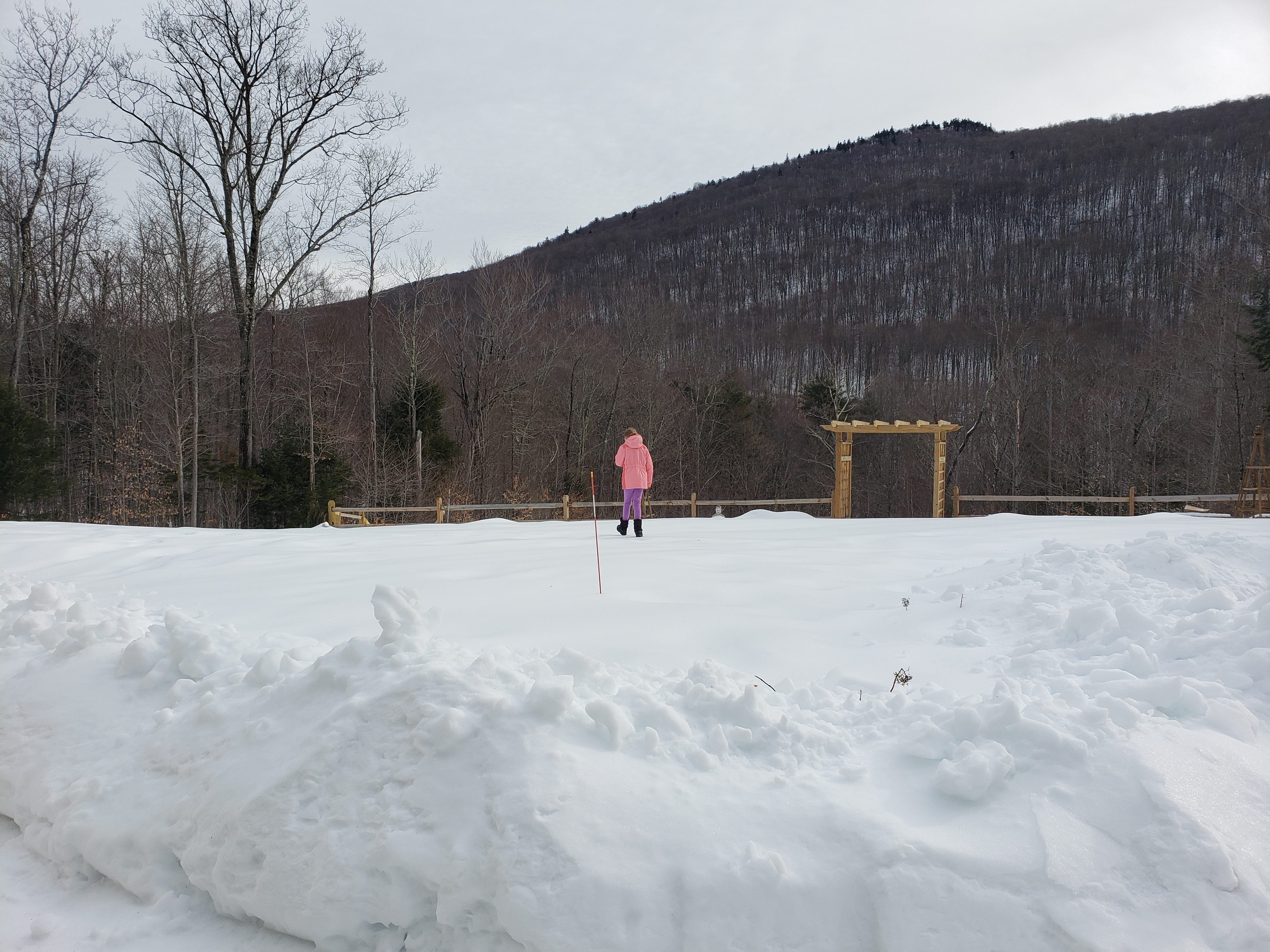
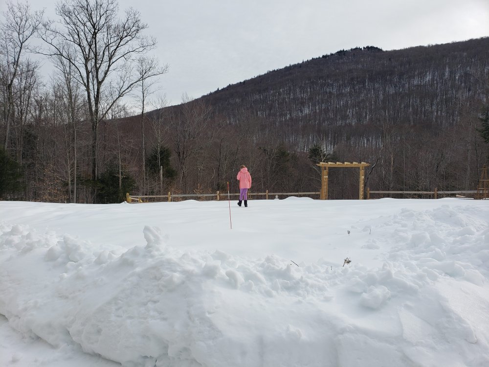
My kids don't come close to sinking in..I can actually walk a few steps without sinking also and then crater through like I'm falling through lake ice...lol.---19" depth. --I think even a grinch redux wouldn't melt this. I haven't been in about 10 days or so, but would imagine the local hills are in rough shape right now. I'm sure they have been in grooming overdrive.
-
Purely anecdotal here, but my youngest daughter is 6 and has always been sick over the winter months with a cold, runny nose, cough, sore throat, etc since she was a baby. Not for a few days, but for weeks straight every cold season, she just never seems to shake it. We think she has maybe a weaker immune system as my other daughter almost never gets sick (she is 8). This cold season so far--not even a runny nose for one day, no cough, sore throat, fever-- nothing at all. It's been pretty remarkable. Kids have been in school 4 days a week most of the year here.
-
Might be some days and days coming up Thursday/Friday. We'll see. Funny how 2.5" of sleet looks like a 12" higher ratio storm when plowed. Big piles for 2"
-
Snow totals busted low pretty much everywhere in the Northeast it seems. 2.5" here, but all sleet from the start. Pure dense concrete.
-
All IP from the start here. Pounded pellets all night, didn't notice much ZR at all, maybe a little mixed in with the IP. 2.5" on 1.03" LE. 31.7F. Probably 5"+ LE in snowpack right now.
-
I miss the old wind chill conversion..really could get some weenie readings. Prob never going to get to -42F in Wilmington DE again.
-
Its been slowly heading north with all snow line last few runs--like most other guidance, just doing it in the more slow and steady Euro fashion. I'm taking the under on most weenie snow maps here in SVT. Thinking brief start as snow then lots of pellets.
-
I'm taking the under here on 7". Can't remember mid level warmth ever under performing. Someone will probably get 20" between the 2 systems this week wherever that max overlap is.
-
ALY going aggressive..
-
Nice, 4-6 inches of fluff would be great. Obviously could fizzle to nothing too.
-
I wouldn't dare post this in the main thread, but I support this NAM output for Sunday--even though I'm sure it will change dramatically next run..ha
-
18 wheelers barreling in at 60-70 mph...yeesh. Scary stuff.