

backedgeapproaching
-
Posts
3,771 -
Joined
-
Last visited
Content Type
Profiles
Blogs
Forums
American Weather
Media Demo
Store
Gallery
Posts posted by backedgeapproaching
-
-
On 3/25/2022 at 7:21 AM, TauntonBlizzard2013 said:
Am I okay to edge beds this weekend?
You can pretty edge anytime the ground is not frozen. I personally wont do it here yet because the ground is mush. Might be different down by you.
-
1 hour ago, Ginx snewx said:
More I 93 pileups in the morning
I'm guessing there is some empirical data backing up these comments:
Simply put, darkness kills. And darkness in the evening is far deadlier than darkness in the morning," University of Washington professor Steve Calandrillo said. "The evening rush hour is twice as fatal as the morning for various reasons — far more people are on the road, more alcohol is in drivers' bloodstream, people are hurrying to get home, and more children are enjoying outdoor, unsupervised play."
-
 1
1
-
-
1 hour ago, PhineasC said:
We are down in Bartlett and it appears to have not even snowed here? Did the storm jump over them? It’s crazy the difference between here and there.
Winds were NW the whole event, not the usual E/SE/NE then switching to NW on the backside. Looking at terrain map you can see how that flow would be pretty brutal there.
-
1 hour ago, HIPPYVALLEY said:
You got as much if not more than much of the Berkshires. I think Albany area had around 4 inches?
Savoy had 8" and Cheshire 6.5". I think the NW wind definitely played some part in the lower totals in your area up through Brattleboro and much of SEVT with all the higher terrain to the west.
-
1
-
-
4 hours ago, LaGrangewx said:
The Woodford effect was clearly in full force for this storm. Only 4 inches at Mount snow and 6” at Stratton. The snowmobile place In Woodford claims over a foot and the Weathernet Woodford report was 12”.
Hasn't been much of the Woodford Cloud this winter, but this event delivered. There also was that steamer that I dont think was totally upslope driven that drove up totals too I think, maybe just enhanced totals even a bit more than just normal upslope.
-
2
-
-
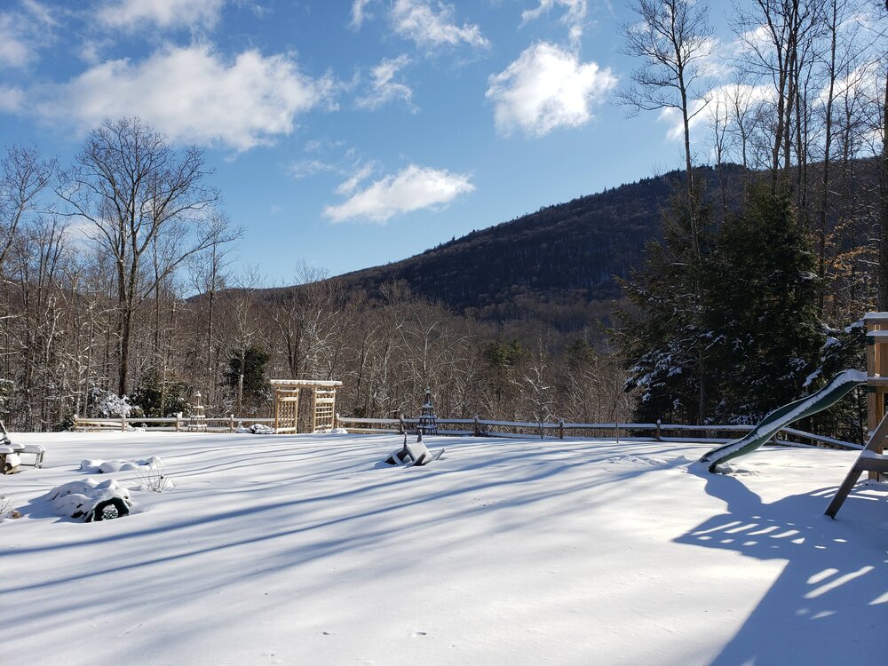
Below forecasted total again here which is kind of expected this winter..lol.
6.1" was final. Still a nice winter scene out there this morning. Interestingly looked like only a couple inches center of Manchester over to the west side of town. Looked much more windblown than here.

-
1
-
-
4 hours ago, dendrite said:
Looks like chicken feed.
Yep, it would be nice if you could train them to be more picky and just eat weeds and not everything in sight, that would be pretty sweet..lol.
-
1 hour ago, CoastalWx said:
Recommend anything to kill it?
If its small area, you can try to pull it, but it might leave some roots/stolons.
You can get this at big box stores...dont shoot the messenger about using chemicals, just passing along info...
")
-
They germinate in fall and overwinter and then will produce flowers/seeds in spring that drop and start the process over again.
-
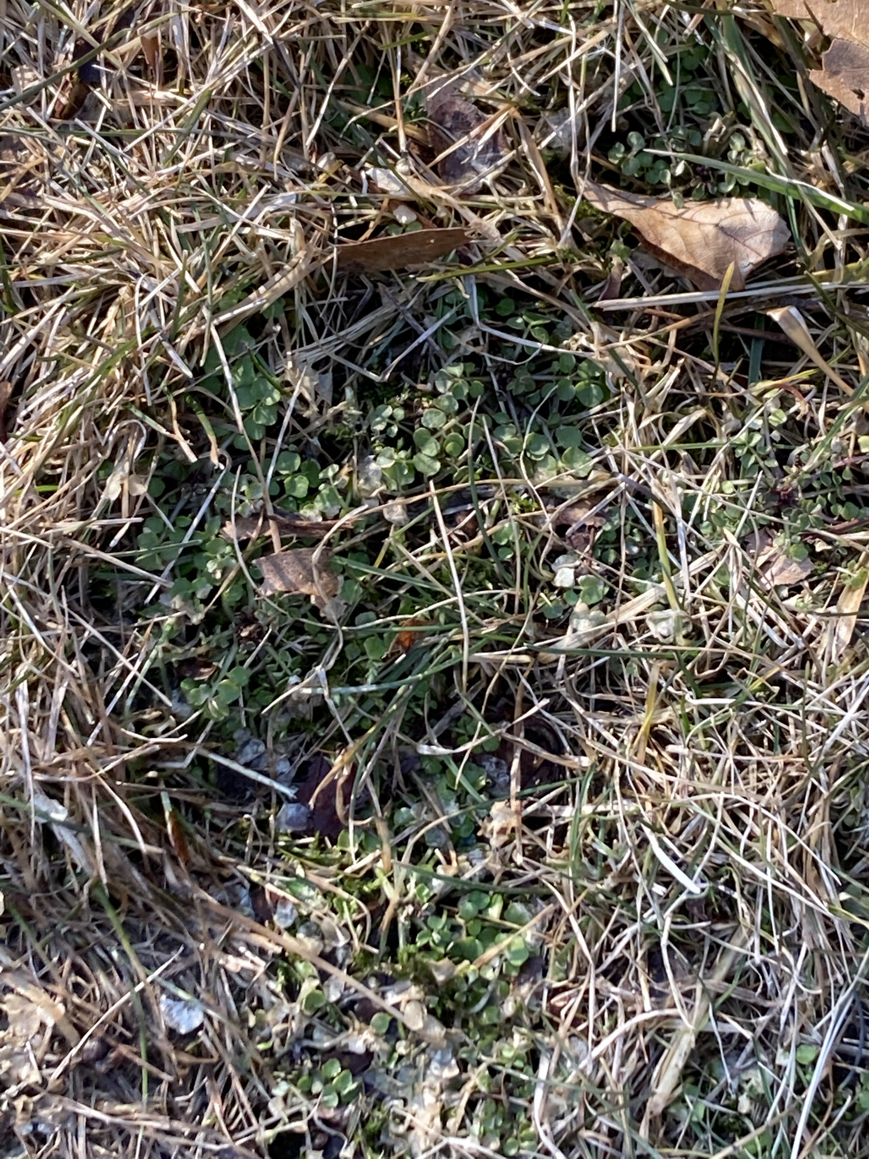
12 minutes ago, CoastalWx said:
Anybody know what this is or what can kill it off? Started last year.

Most likely chickweed, henbit or bittercress.
-
5.6" with some lingering -SN.
This was probably the top event in this craptastic winter here combining snow growth, no wind and sticking to everything. Sad, but it is what it is. Nice that it was a little overachiever too.
-
1
-
-
Looks great guys. Solid event up there.
I hated this event..ha. 60 mph gusts, lost a good chunk of shingles, another screwgie in SVT. Every event seems to screw us down here somehow this year. Had some OK snow once winds went calm this afternoon..total was about 5" between wind blown dense stuff and post wind stuff.. Snow growth was really never good.
I think Mitch only had little over 6" and so did the local cocorahs guy at 1800' past Bromley near me as of 430pm, stuck between the forcing in Mass and the mid levels up north I guess?
-
Damn...kudos ALY--I sent them a quick note about the wind and they had this out like 3 minutes later:
SPECIAL WEATHER STATEMENTISSUED: 9:35 AM FEB. 25, 2022 – NATIONAL WEATHER SERVICE...Period of Strong Gusty Winds through 11 AM... A brief period of strong east to southeast winds, 15 to 25 mph, with gusts of 40 to 50 mph, will be possible through 11 AM across portions of the central and northern Taconics, southern Greens, Berkshires, and western Mohawk Valley. These strong winds, combined with the snow on the ground, will produce areas of blowing and drifting snow as well. Motorists in these areas should be prepared to encounter areas of reduced visibilities due to the strong winds and areas of blowing and drifting snow.
-
1
-
-
Just now, qg_omega said:
Wow, zero wind here
This is probably extremely localized, like tied into the immediate western slopes, I bet a mile or so east into the actual town of Manchester is not nearly as windy.
Even the weeniest Meso wind model, which from my experience is the WRF ARW2, was showing some gusts along the Spine, but not upper 50s.

-
1
-
-
Jesus--- 58mph gust--highest I have recorded. WTF, need high wind warning, not winter storm.
-
1
-
-
Total downslope disaster here...sun is literally almost peaking through--gusting to 40mph. Barely snowing ATTM.
Did snow pretty well for 3 hours of so, but right now it's more beech tree leaves blowing around..lol.
-
31 minutes ago, tamarack said:
CF passage began about 2 PM with sudden uptick in wind. Temp has dropped 10° in 45 minutes with a blink in the power - lost a bit of wx data I'd been entering. Pack only lost 1" to 16" - modest dews and only 4 hr in the warm sector helped.
 1" lost--nobody can CAD like Tamarack.
-
1
-
-
Pretty uniform 5-6" left in my yard, but that is more anomalous compared to the rest of town and the valley down through Bennington. Lots of wiped out areas with patches left.
-
Snowpack took a real beating today here too. Wall to wall sun and low 50s, felt great though. Prob be wiped clean here as well
-
Nice shots, definitely didn't see VIS that low here, meat of line went south near far NW MA.
Did pick up close to 3", though more due to duration. Think Mitch over to Mt Snow had 5-6"
-
2
-
-
24 minutes ago, jculligan said:
I've been a frequent visitor to the White Mountains since I first arrived as an undergrad at Plymouth State University in the autumn of 2001. I'm sure some folks in here have a better memory than mine, but I'm not sure I've ever witnessed the seasonal snowpack being wiped out in the month of February. There have been years where it took a long time to initially establish the seasonal snowpack...but usually once it's there, it stays through at least the end of March. Last year was perhaps the earliest melt-out I've seen, with the possible exception of 2016.
If you lose all of your natural snow next week, that will truly be noteworthy. I don't have official stats to back this up, but...that would be quite a significant deviation from the climatological norm in this area, if not close to unprecedented.
I think Will was mentioning something similar several days ago in a post. I think basically along the same lines of having a strong cutter in FEB that brings 60F up to NNH and can wipe out decent snowpack is highly unusual for the time of year. I haven't been on here as much so cant remember exactly what he said as I was just skimming the thread, but think that was the gist of it.
-
Snowpack wasn't massive to start with here after missing the last few events, but its only down from 11.5" to 8". Almost no wind for most of the event and temps were 39-42F for most of the rain portion on my Davis. It did pop up to low 50s over night and get breezy looks like for a few hours before FROPA.
20sF now and some light snow falling.
-
44 minutes ago, HIPPYVALLEY said:
I’m suspicious of the 37” in the N Berks too. Seems high unless they had some big total in December that I missed.
That is probably pretty close to correct honestly. There were a couple 6-8" events i think. No biggies, but then add in these little nickel and dime uplsope/streamers/etc events that can add up over time as dendrite mentioned. Little stuff that you don't even realize is happening probably where you are. For example I had 3 separate days just this past week of little less than 1" each time. These little dinkers spread out won't make for impressive snowcover, especially with with a few rainers mixed in, but the actual totals will add up. 37" is still pretty low for N Berks mid FEB with not much on horizon either.
-
Unbelievable scene when the sun fully come out today around town--every tree glistening caked in ice, looked really cool. Most birches touching the ground now, lots more tree damage now the second day than I noticed yesterday.
Interestingly, the ZR line stopped literally about 3/4 mile north of me, just sleet and snow north with trees totally bare.
-
1
-


NNE Cold Season Thread 2021/2022
in New England
Posted
I think I saw you mention in some other post about putting in AC. Are you doing mini-splits or full duct work AC?
I'm maybe one more humid summer away from doing a full mini-split install. Every summer is more dewy than the last it seems.