-
Posts
797 -
Joined
-
Last visited
About JasonOH

- Birthday 11/20/1996
Contact Methods
-
Website URL
https://twitter.com/jasonmwx
Profile Information
-
Four Letter Airport Code For Weather Obs (Such as KDCA)
KSPS
-
Gender
Male
-
Location:
Wichita Falls, TX
-
Interests
Weather and aviation
Recent Profile Visitors
3,838 profile views
-
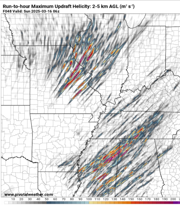
I’ll leave the 06z HRRR run here for posterity. I think the true analogue for how this will end up is 3/21/1932. Not sure what I would put the floor at, but it’s really high in my opinion. If instability is underdone like usual, I think we are in a world of hurt with the synoptic environment being as good as it is. Barring a morning MCS, which seems unlikely at this time, I think this one is a lock for a really bad day.
-
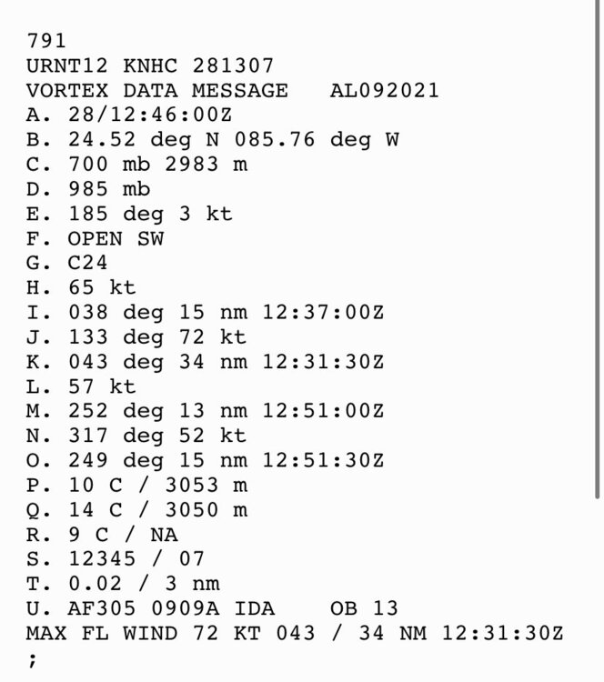
That may have been the last pass for a bit. Next recon takes off at 2000z with an on station 2115z and will get a center fix a bit after that.
-
I would ignore those very high SFMR readings. Just because it's not flagged doesn't mean it is accurate
-
Thats 11mb extrap decrease in 1:20 so about 8mb/HR drop...
-
Maybe. MPI is showing 890-900 so I think 905-910mb may be a good ceiling to work off of
-
The eye has warmed significantly in the last 15 minutes. Next pass should be under 920mb.
-
I also think the double wind maxima are just banding since they only show up in the SW and S sides. Thats also the side getting rekt by shear so I don’t think there’s a second eyewall that would survive there but not on the east side.
-
Looks like low level SW shear. Storms can’t easily overcome that since it’s below the outflow. Until that abates the storm is going to have a flat west side.
-
That’s super interesting. Thanks for posting that.
-
The last pass looks to have actually had a downdraft. Pressure spiked and altitude dropped
-
Not with SFMR of 145. Tend to need around 150 to get cat 5 with the standard 10% reduction.
-
It’s all modeled based on physics. Big picture there’s high pressure west and NE so it will head north between them
-
This wasn’t in the eyewall. It was over the delta (land) which caused it to get flagged
-
Looks like the eye is circular now. Still not closed but now that it’s circular it should happen pretty soon.
-
Still having mist in Wichita Falls. Cloud deck is pretty thick

