

40/70 Benchmark
-
Posts
67,818 -
Joined
-
Last visited
Content Type
Profiles
Blogs
Forums
American Weather
Media Demo
Store
Gallery
Posts posted by 40/70 Benchmark
-
-
2 minutes ago, Damage In Tolland said:
Doing decent here. Moderate snow all day except for that 90 minute period of lighter stuff. Won’t be shocking to end up 10-12”
How much do you have?
-
Just now, ORH_wxman said:
That ORH to windham county band has been pounding for over 90 minutes now. There's def another one trying to form again in metrowest now though....we'll see if it blossoms up to previous heights.
I think I'll et 20"+.
-
20 minutes ago, Greg said:
That's an older observation. They had that a couple of hours ago.
13.5"
12" depth.
Caught in subsisdence for now.
S-
-
1 minute ago, Dotb said:
WBZ forecasting an additional 6-12 inches for most of eastern mass from here on out, with the higher totals heading north and west of the city towards the Merrimack Valley.
It was apparent looking at RAD late last night that the best banding would translate ne from near Montaulk point, LI to near our area.....should sink back near us soon.
-
1 minute ago, sbos_wx said:
They are hints that the death band is filling in east. But we aren't going to see any crazy totals here locally. Unless something crazy happens.
I knew it was coming in west of what folks were thinking.
-
4" from 1130 to 1230.
12"...11"depth.
-
 1
1
-
-
1 minute ago, sbos_wx said:
Of course not
Its going to somewhere.
-
6 minutes ago, ORH_wxman said:
Band reformed....ORH finds a way
UGH....thought it was stalling.
-
31 minutes ago, 40/70 Benchmark said:
28.4/27
S+
8"
10.5"
2.5" in 30 minutes.
10" depth.
-
3
-
-
12 minutes ago, sbos_wx said:
Look who is alive.
Overslept until 1130..thankfully I'm on call, and that woke me.
-
28.4/27
S+
8"
-
4
-
-
-
1 minute ago, CoastalWx said:
34. Wet snow but nothing yet. I did say numerous time some of this is lost to wet snow/mix on the coast.
Like an inch.
-
21 minutes ago, STILL N OF PIKE said:
This hits like a wall
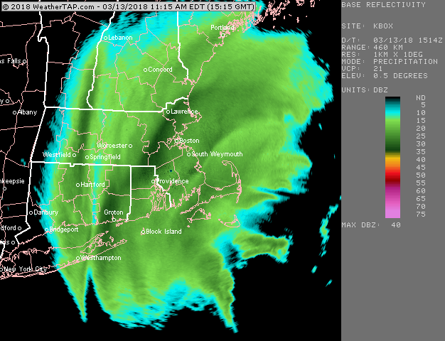
Look at the bos radar. Leading edge moving into se nh goes from 1nothing to pound town in miles
This reminds me of Dec 1992 given the start as rain and predawn flip...granted not nearly as much rain, but wow...went on a weenie walk and was overwhelmed by nostalgia.
I think cape is going to have accumulations cut.
Slushy coating down....34.2.31
-
11 minutes ago, STILL N OF PIKE said:
This hits like a WALL of snow
Just wow
I like that the band has set up over Montaulk point.......I think that translates up near us.
Wonder if that onshore flow can augment it, too.
-
Little surprised how torched the BL is...35.9/32
Gonna crash for a bit.
-
Just now, bobbutts said:
I'm a candidate.
Could be se of you...some of the guidance has been hinting at it out near Pepperell and maybe near Tip in Ayer.
-
4 minutes ago, OKpowdah said:
The fgen band already overperforming as it is, if the elevated isothermal layer can cool just like a degree more, someone in SE MA is guaranteed 30" with prolonged 3-4/hr rates. Other guarantee is someone just W of this mega-band, and east of some western edge banding, is getting screwed.
I think the screw zone will be outside of I 495.
-
Montauk pt and BID must be doing like 2"/hr now.
-
I actually like Kuchera here.
-
1
-
-
I would honestly expect this.

-
1 minute ago, ice1972 said:
An inch of snow or an inch of precip? Yikes
Snow...it was negligible....
-
Just now, ice1972 said:
What does that mean "more compressed out west"? Like higher QPF but with the same distribution east to west? No expansion of the field west just bump them up a bit? IDK
It trimmed like an inch out by you.
-
 1
1
-
-


March 12/13/14 Blizzard/Winter Storm/WWA etc
in New England
Posted
It is ticking east.