Boston Bulldog
-
Posts
868 -
Joined
-
Last visited
About Boston Bulldog

Recent Profile Visitors
8,015 profile views





-
Presently the Green Mountain spine, Franconia Notch, and the Presidentials are covered. I do plan to expand to include the ADK high peaks region however
-
I've been developing some new visualizations for froude number and other upslope components, this first NW flow event will be a good test of how close I am to having a usable tool. Excited to test against validation this weekend. Generally the products have performed well when tested against historical events, but it's difficult to have full confidence when running against only model reanalysis data. I will post the results for this weekend's event. I plan to host a website with these publically available by ski season
-
Whole northern eyewall is blowing up with convection now
-
Remains Cat 2 at the 8am intermediate advisory. A bit surprising to be honest. Pressure down to 958mb
-
I don’t think that’s a legit eye, IR suggests that the inner core convection still isn’t organized enough yet to pop one. Pause in strengthening for now, let’s see if Isaias can get going again soon.
-
Many examples. Milton most recently
-
Hah, impressive guillotine. The core will not be that well put together on approach, it also won’t be totally gone by landfall
-
Isaias is already a bit lopsided to the east, but the center is secluded enough from both shear and dry air to continue to intensify. Maybe a small eye pops briefly, honestly the analog may be Sandy before Cuba landfall (at least in regards to a potent late season core surrounded by synoptic fuel). Isaias will be getting ripped apart upon landfall, but it will gain significant strength before doing that. Also the jet streak equatorward entrance region is going to fuel baroclinicty over the SE US. Not to be slept on, the tornado threat on the right side is going to be significant. Isaias will have a ton of energy to be conserved as it gets absorbed by the trough as landfall occurs, this will be an impactful event
-

2026 C and E Pacific tropical activity
Boston Bulldog replied to GaWx's topic in Tropical Headquarters
Began as a depression in the E-pac that dissipated, then made a sudden comeback and instantly began threatening the Big Island almost a week later -
Remains a TD at 11pm, but the discussion makes it sound like they may upgrade to TS shortly once this ASCAT pass comes in
-
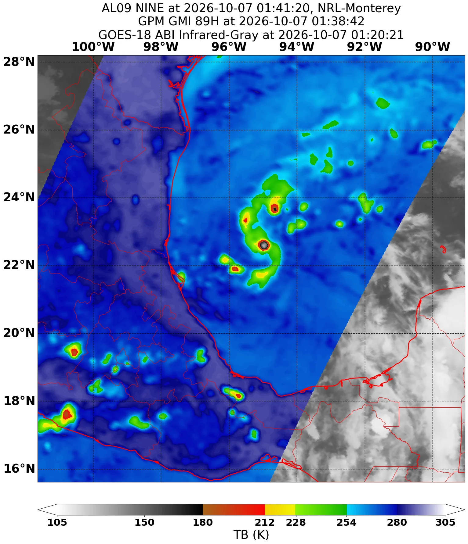
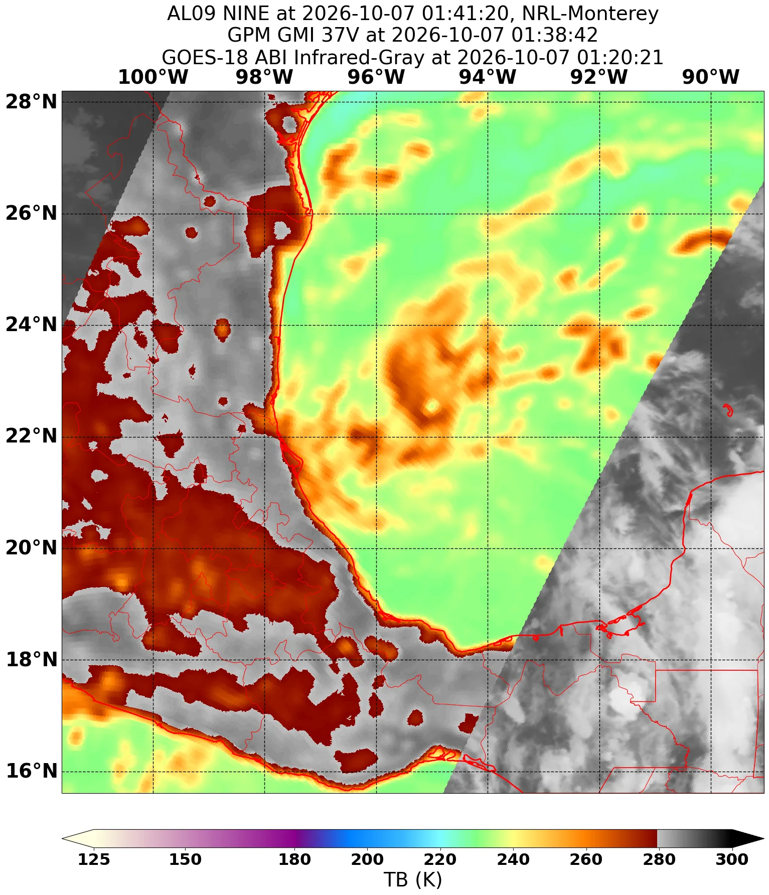
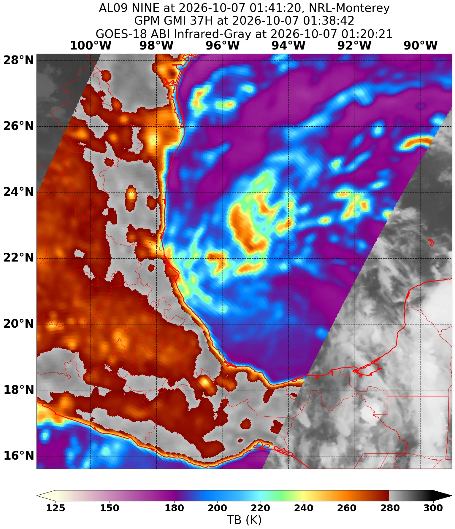
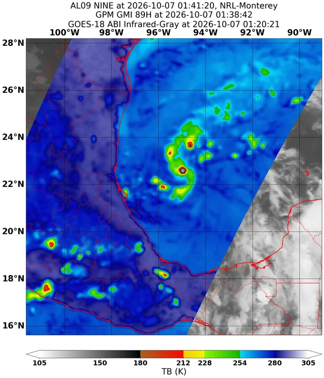
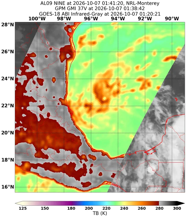
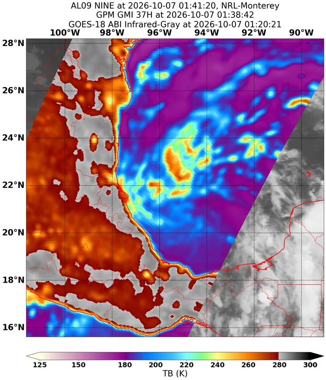
Looking pretty dang organized for a TD on the latest microwave pass
-
If Isaias ends up becoming a formidable cane, this would be a significant coup by DeepMind
-
2026 C and E Pacific tropical activity
Boston Bulldog replied to GaWx's topic in Tropical Headquarters
Nolo is up to a cat 4 now, what a beast. Category 5 is definitely attainable and the structure appears like it would be restant to any internal changes like an EWRC. Bombs away -
2026 C and E Pacific tropical activity
Boston Bulldog replied to GaWx's topic in Tropical Headquarters
Nolo is about to go boom -
2026 C and E Pacific tropical activity
Boston Bulldog replied to GaWx's topic in Tropical Headquarters
Nolo appears primed to reach major hurricane status at the 5pm ET update. Large eye has cleared out with a thick layer of robust convection insulating the core. The ceiling on this system just increased