-
Posts
2,592 -
Joined
About brettjrob

- Birthday 09/30/1987
Profile Information
-
Four Letter Airport Code For Weather Obs (Such as KDCA)
KOKC
-
Gender
Male
-
Location:
Norman, OK
Recent Profile Visitors
-
Checking in for my annual-ish update: we've just added FREE Euro data for select surface/precipitation fields at 6-h intervals! This also includes new city-focused zooms across the country for the Euro maps with population centers labeled, something I don't think you'll find elsewhere (free or otherwise). We've also revamped the website a bit and added RTMA, NDFD, and various other non-model maps in the same web framework as our models. You can switch between model and non-model products while staying on the same zooms. We are planning to add looping/animated GIF capabilities to RTMA in the next few weeks. I hope everyone enjoys the new products, and feel free to leave feedback here (or through our contact form). To address a likely question upfront: there are currently no plans to turn Pivotal Weather into a subscription service, aside from commercial licensing for business-oriented users (people using our site routinely to make money or make business decisions). We are hoping that ad revenue, combined with support from the community, will sustain the new products and even allow us to add more Euro data in the future. If you'd like to see this happen, there are two things you can do to help: 1. Use Pivotal Weather to view as much of your preferred model data as we have available, Euro or otherwise! 2. If you can afford it, consider donating to our Patreon here: https://www.patreon.com/pivotalweather
-
Thanks for the feedback! In UI design, there's often some tradeoff between powerful features and simplicity of presentation. We try to strike the right balance, but probably lean more toward packing in extra features where possible, even if it sometimes makes the UI more complex. I know several of the other popular NWP graphics sites use a loop presentation by default, and that's something we've resisted to this point, out of concern for mobile users' bandwidth (e.g., if a 384-hour GFS loop is the first thing that loads when you hit the site, you may be pulling down 5-10 MB of data right away). We're continuing to evaluate that and may change the default mode in the future, though. If you or anyone else here has a specific suggestion on how the interface or experience could be improved, don't hesitate to let us know. If we get consistent feedback about a specific aspect of the site, there's a good chance we'll take it into account in future updates.
-
This is available on our Loop animation mode. We just reshuffled our UI a bit earlier this week in an attempt to make all our looping and animation options more visible. Under "Animation," the option "Forecast Loop" is similar to what several other sites offer (preloading all hours of a forecast with a slider). You can also view a Trend Loop (dProg/dt) in the same format. Here's an example: http://www.pivotalweather.com/model.php?m=nam&p=snku_acc&fh=loop&r=conus&dpdt=&mc=
-
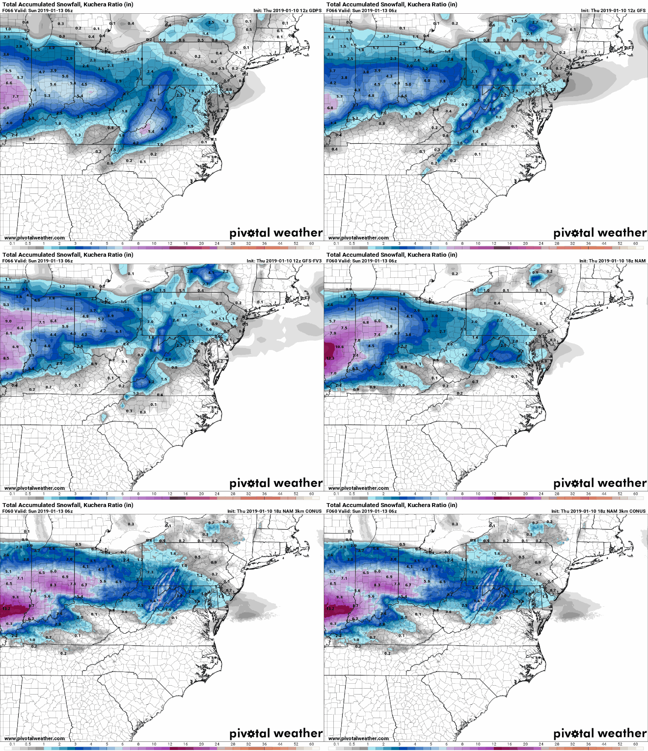
It's been awhile since I've updated this thread, but quite a few new features have been added to PW in recent months: Soundings for Canadian (GDPS and RDPS) and GFS-FV3 (I believe we are currently the only free site with these) Soundings now available globally (GFS, GFS-FV3, and GDPS) NWS Advisories/Warnings, NDFD, WPC, CPC, and QPE/snow analysis maps available under "OTHER MAPS" tab on main site menu Data value readout on mouse hover now available in animations Model Comparison mode: toggle between forecasts from all models on our site for the time and product you're viewing without flipping tabs! You can also generate animated GIFs comparing the models this way. Example: http://www.pivotalweather.com/model.php?m=nam&p=snku_acc&rh=2019011018&fh=72&r=us_ma&dpdt=&mc=bl Just wanted to highlight some of these as more winter threats appear on the horizon. As always, feel free to respond here or DM me if you have any questions, comments, or suggestsion!
-

Central/Western Medium-Long Range Discussion
brettjrob replied to andyhb's topic in Central/Western States
The current 7-10 day period is looking pretty grim to me. This week's string of southwest flow days is highly flawed, with Saturday at least offering some legitimate potential given CI. Then the pattern goes back to pure ugliness for at least 4-5 days heading through Memorial Day weekend into mid next week. Hurts, coming on the heels of perhaps the biggest waste of a late May longwave western trough I've seen (last week). -

Central/Western Medium-Long Range Discussion
brettjrob replied to andyhb's topic in Central/Western States
Although we've seen most of the Plains drought-free by late spring the last two years, what's most striking on those DM maps is that the most significant drought nationwide is in the Southeast. I can't recall seeing that since 2007. -

Central/Western Medium-Long Range Discussion
brettjrob replied to andyhb's topic in Central/Western States
The crappy closed low next Tue-Wed reminds me in a really vague sense of 15 May 2013. Mind you, there wasn't a massive east coast trough then. But it is evidence of how these barotropic-ish closed lows whose shear profiles leave something to be desired can still get the job done in May. -

Central/Western Medium-Long Range Discussion
brettjrob replied to andyhb's topic in Central/Western States
00z 4 km CAMs unanimous on an intense but slightly elevated supercell streaking across south central OK tomorrow evening. I can recall an event around this time last year with some similarities and a similar consensus (over NW OK and S KS) where the CAMs said "just kidding" by late morning the day of, so nothing's assured. The SBCINH is awfully formidable even right at 00z, and I have little doubt it will require a mesolow with localized enhanced convergence to pop off a storm at all. Fingers crossed for a nice mothership at sunset dumping some baseballs and putting on a highly visible light show for awhile after dusk. -

Central/Western Medium-Long Range Discussion
brettjrob replied to andyhb's topic in Central/Western States
Unfortunately, the 12z NAM and ECMWF both now support the idea of wave timing ~6 h too early, resulting in veered and anemic flow around H85 along the dryline. Leaning more and more toward a primary large hail threat for now. -

Central/Western Medium-Long Range Discussion
brettjrob replied to andyhb's topic in Central/Western States
Not my intention at all. Would note the GFS and Canadian have been relatively steadfast in depicting veered H85 as an issue, though. Euro has been more encouraging on several recent runs. -

Central/Western Medium-Long Range Discussion
brettjrob replied to andyhb's topic in Central/Western States
dProg/dt on the GFS for 00z Mon shows a tendency toward a less negative tilt with the trough axis, and associated more zonal flow at H5. I already don't like low-amplitude waves this early in the season on the Plains, and this is only raising my concerns. In my experience, H85 flow as veered as what the 06/00z GFS shows verbatim along the dryline in OK is nearly a dealbreaker for meaningful tornado potential in this part of the country. For the most part, when you have low-amplitude waves traversing a Plains dryline in the early season, the shortwave timing has to be absolutely impeccable - where you get your LLJ to back and intensify right around 21-00z. If that isn't the case, as is currently modeled Sunday, you either get (1) a cap bust, or (2) if you're fortunate enough to get CI, tornado potential is limited, even if other factors (e.g., good moisture return) are in place. Still time for 6-12 h timing shifts, so not throwing in the towel by any means - just commenting. -

Central/Western Medium-Long Range Discussion
brettjrob replied to andyhb's topic in Central/Western States
Tuesday is looking more and more like the best shot to start pulling real moisture up more than 2 hours before showtime - something Sunday is sorely lacking on most of today's runs. -

Central/Western Medium-Long Range Discussion
brettjrob replied to andyhb's topic in Central/Western States
The 500 mb pattern progged over the next two weeks right now is nothing short of insane, especially by the standard of recent years. Nonstop intense shortwaves dropping into the Rockies and carving across the central CONUS, one after another, with no end in sight. It's been at least since 2011 since we saw a similar pattern in the springtime, and maybe 2008 for the Plains. Really, the first half of May 2003 is what comes to mind, looking at this morning's GFS. It's just happening 30-45 days too early to take full advantage with these short wavelengths, from a severe perspective. But we'll probably get our first headline-making tornado event of the year (outside the Gulf coast) out of this period somehow, regardless. -

Central/Western Medium-Long Range Discussion
brettjrob replied to andyhb's topic in Central/Western States
I don't think I've ever seen one of these quick hitting, compact shortwaves pan out in the Plains early in the spring, but that doesn't mean it can't happen. Last night's GFS and Euro both raise an eyebrow for Sunday. I will say that, as currently progged, I wouldn't be especially worried about mixing as a main failure mode. Rapid cyclogenesis and strong moist advection in the final 12-24 h should minimize the impact there. I think it's more an issue of shortwave timing and whether we can actually pull the preexisting juice to our south up in time. -

Central/Western Medium-Long Range Discussion
brettjrob replied to andyhb's topic in Central/Western States
Bleh. Everything out through D+10 looks like the wavelengths are too short for anything big. Nothing unusual this early, but it sure has been awhile since we saw a half decent March setup in the southern Plains (3/18/12, perhaps?). At least there are some indications of a continued favorable base state heading into the beginning of April.


