baroclinic_instability
-
Posts
7,869 -
Joined
-
Last visited
Content Type
Profiles
Blogs
Forums
American Weather
Media Demo
Store
Gallery
Everything posted by baroclinic_instability
-

Alaska/Western Canada obs and discussion
baroclinic_instability replied to patrick7032's topic in Central/Western States
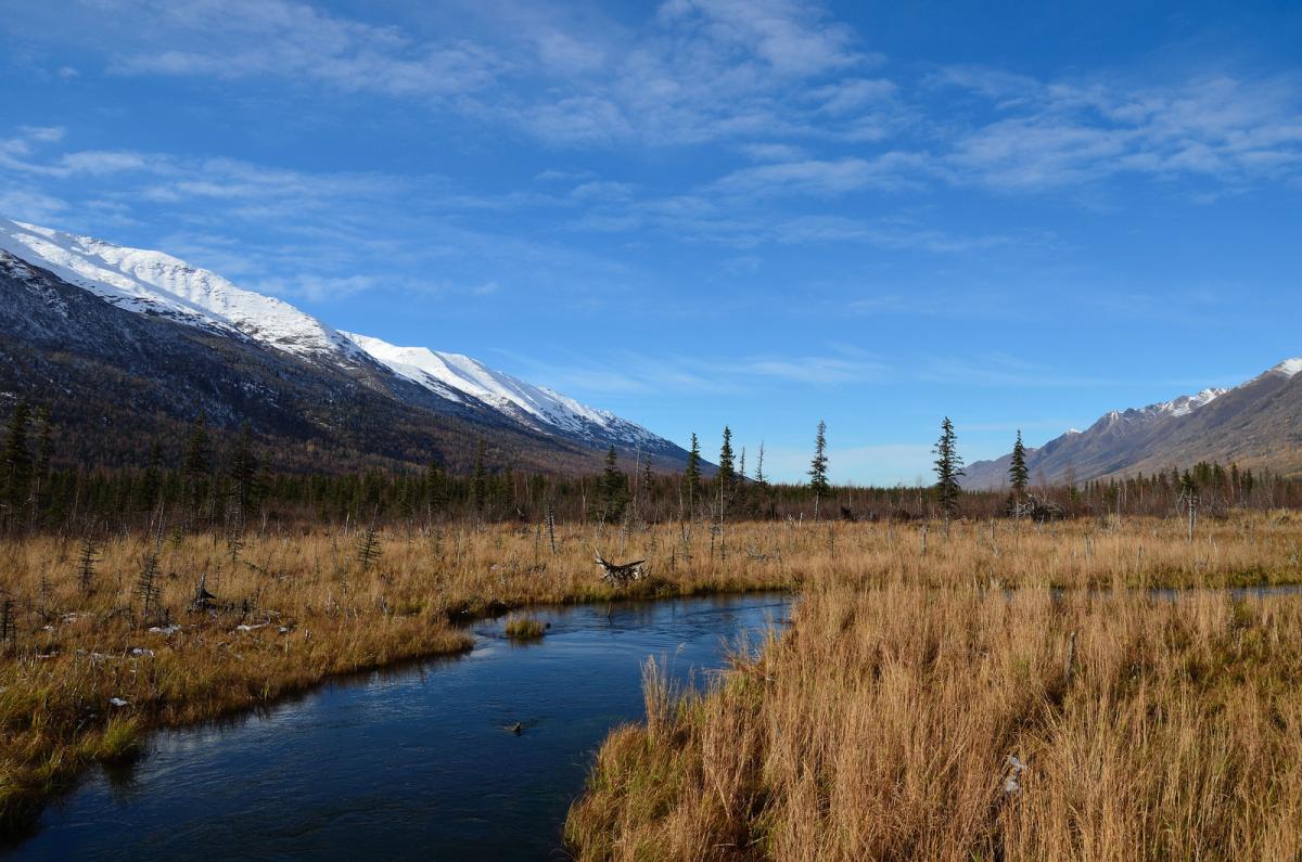
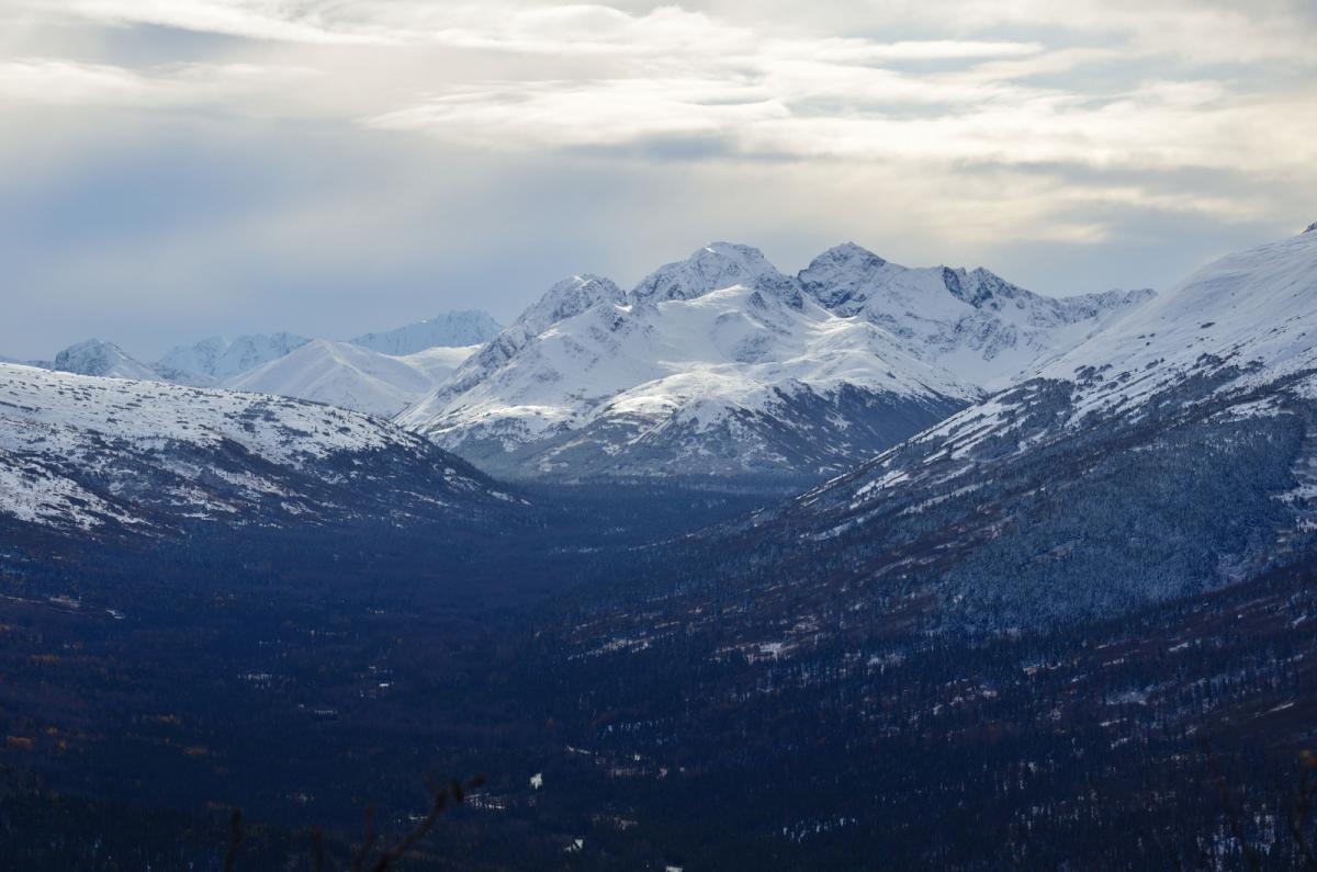
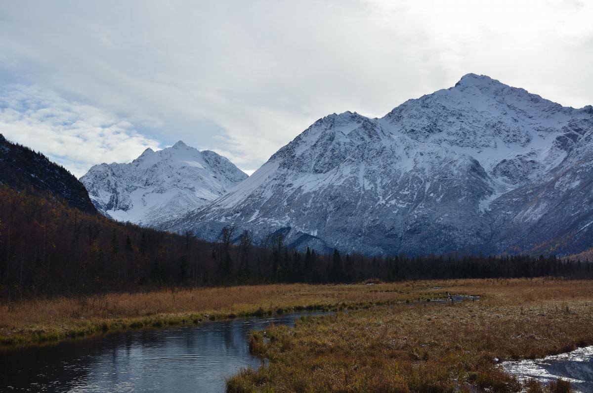
For the first time in over 3 weeks, it is snowing in Anchorage. Finally. -
The catalyst for a pattern change
baroclinic_instability commented on OKpowdah's blog entry in Tropospheric Torrent
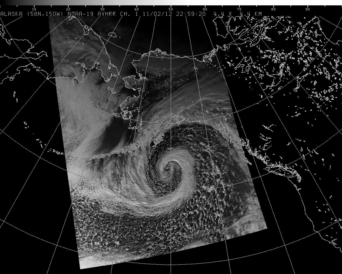
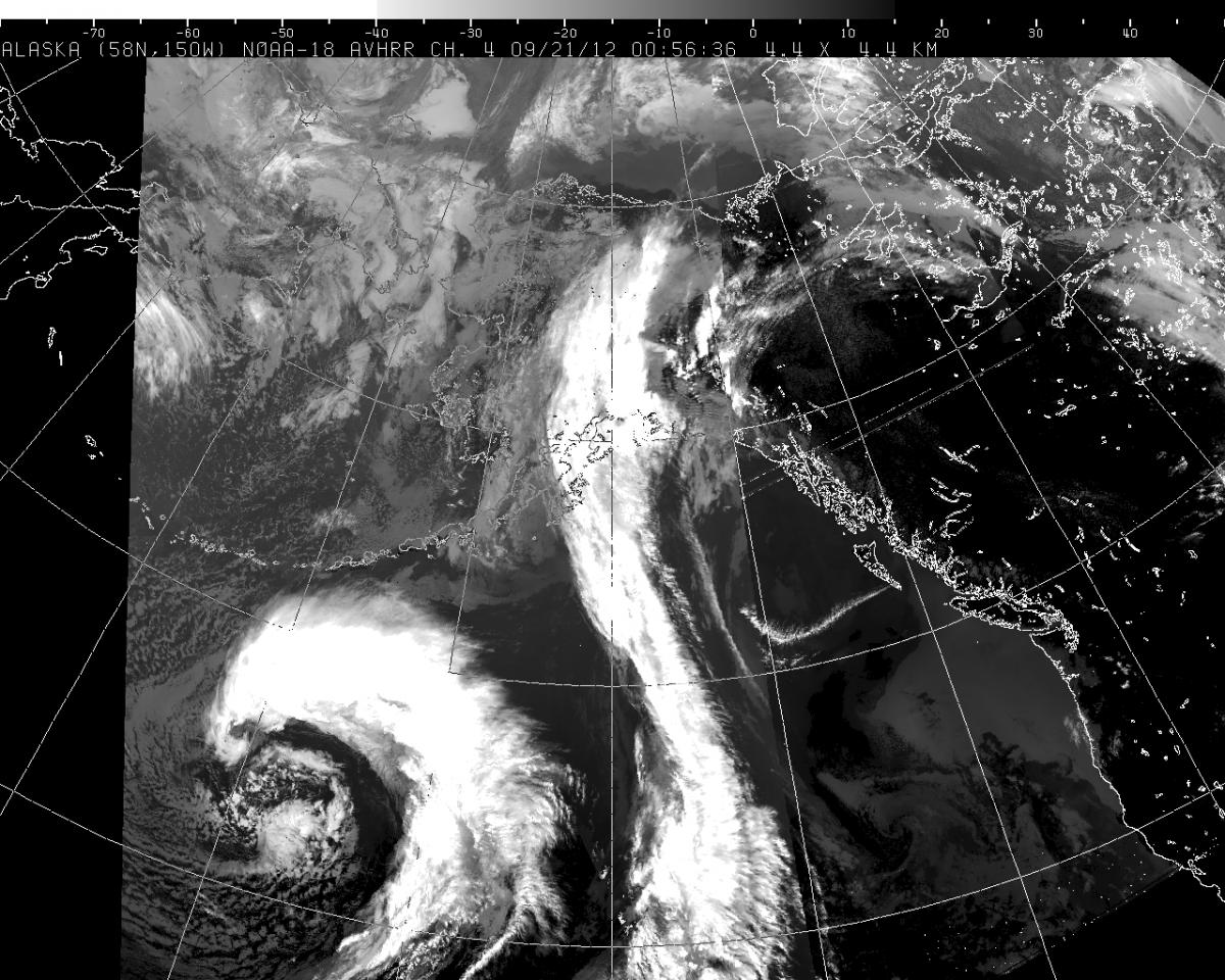
Nice post. The wave break is a thing of beauty, something we haven't seen in AK in a solid 2 months. Blizzard watches/warnings for much of south central AK and the Aleutians/Akpen. On a side note, this storm has one of the most elongated frontal bands I have ever seen, stretching from the eastern ALeutians to just off the coast of W North America. -
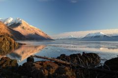
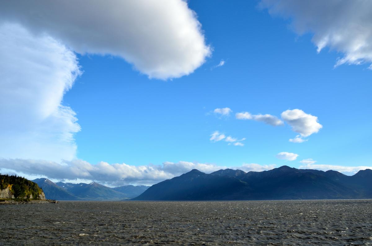
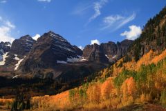
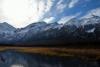
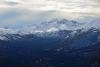
From the album: Mountains
-
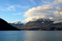
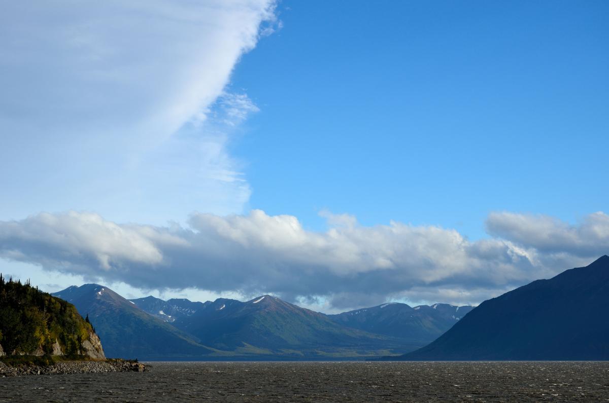
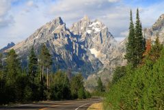
From the album: Mountains
-
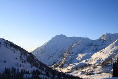
From the album: Mountains
-
From the album: Mountains
-
From the album: Mountains
-
From the album: Mountains
-
Alaska/Western Canada obs and discussion
baroclinic_instability replied to patrick7032's topic in Central/Western States
Alaska weather pron.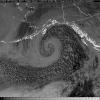
-
Alaska/Western Canada obs and discussion
baroclinic_instability replied to patrick7032's topic in Central/Western States
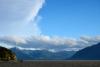
It was a nice to see snow in the mountains. The Chugach around Anchorage are much more distinct and scenic covered in snow. We are getting back into the wrong side of another blocking pattern, so much of this snow will be eroded away in the next week, unfortunately.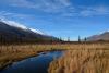

-
Alaska/Western Canada obs and discussion
baroclinic_instability replied to patrick7032's topic in Central/Western States
Snow pouring down at 1500 feet earlier (Glen Alps parking lot near Anchorage). Now snow changing over right here at sea level in Anchorage.
-
Alaska/Western Canada obs and discussion
baroclinic_instability replied to patrick7032's topic in Central/Western States
Extratropical cyclones, IMHO, are the most beautiful atmospheric phenomena known to man. -
Alaska/Western Canada obs and discussion
baroclinic_instability replied to patrick7032's topic in Central/Western States
Perhaps I say it too much, but that was seriously the best cyclone I have seen in a very long time. -
Alaska/Western Canada obs and discussion
baroclinic_instability replied to patrick7032's topic in Central/Western States
Doesn't get any better. Hurricane force winds all across the GOA.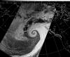
-
Alaska/Western Canada obs and discussion
baroclinic_instability replied to patrick7032's topic in Central/Western States
Atmospheric perfection.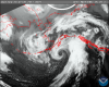
-
Alaska/Western Canada obs and discussion
baroclinic_instability replied to patrick7032's topic in Central/Western States
As expected, already spectacular looking, only going to get better through the afternoon.
-
Alaska/Western Canada obs and discussion
baroclinic_instability replied to patrick7032's topic in Central/Western States
I can't wait to see this storm ripping. The actual sting jet on the backside of the low stays out of our marine area, but even the warm front may be close to hurricane force winds. -
Alaska/Western Canada obs and discussion
baroclinic_instability replied to patrick7032's topic in Central/Western States
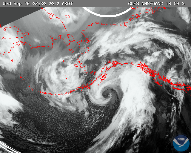
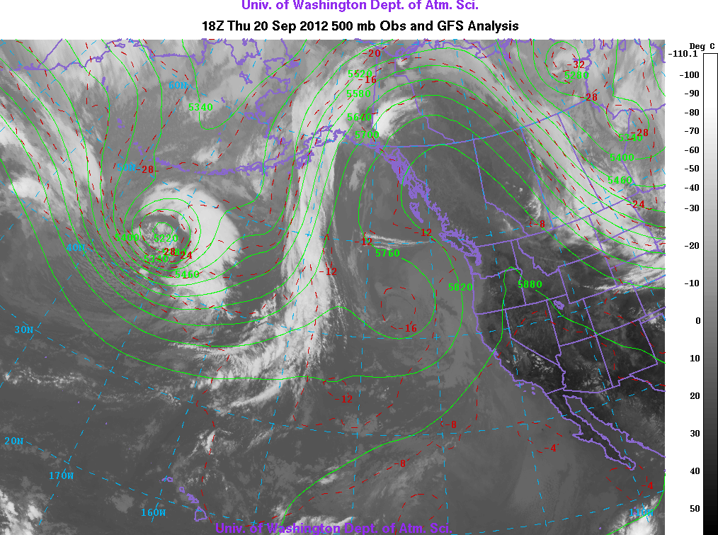
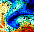
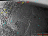
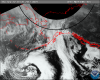
Looks somewhat innocuous at first glance, but dual warm conveyor belt streams already taking shape on sat. Bomb out mode is just beginning.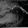
-
Alaska/Western Canada obs and discussion
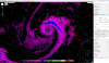
baroclinic_instability replied to patrick7032's topic in Central/Western States
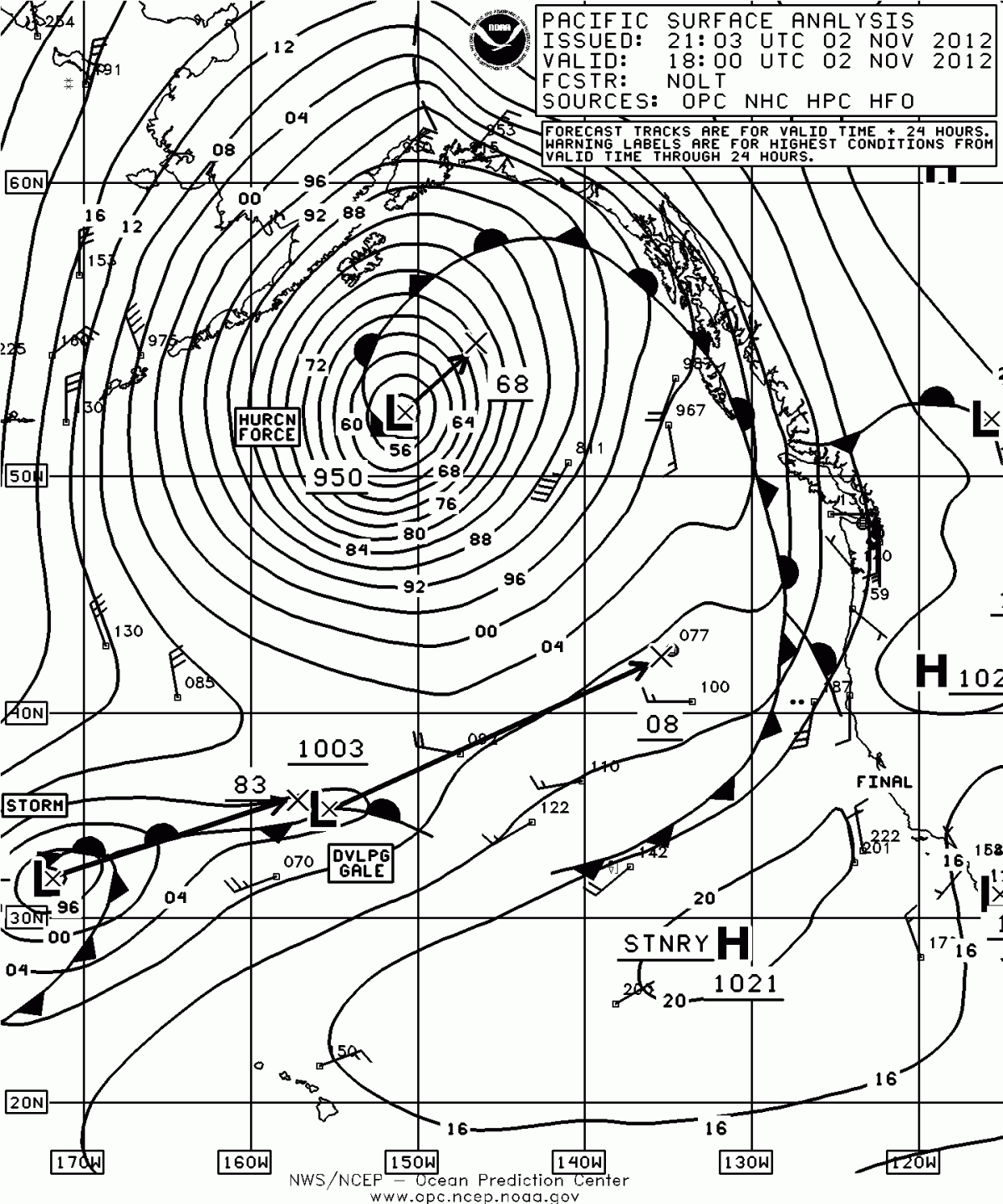
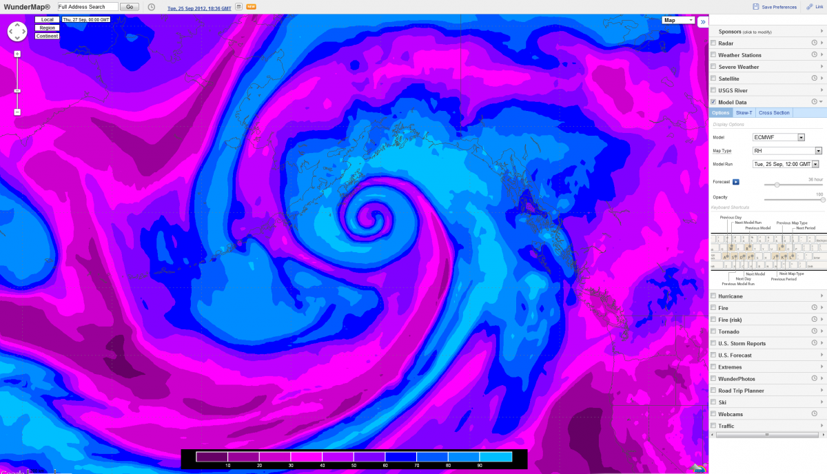
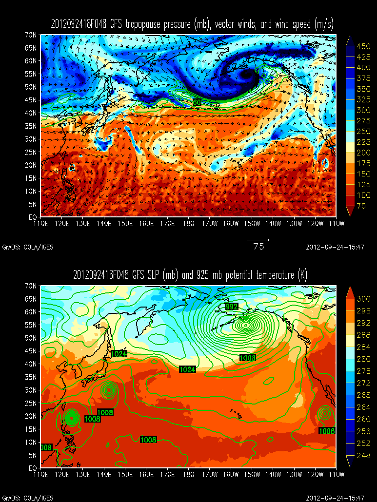
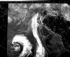
Oh yes. in 24 hours this hurricane force warm seclusion will be rocking the GOA possibly sub 950 hpa. Close to cat2 strength were this tropical.
-
Alaska/Western Canada obs and discussion
baroclinic_instability replied to patrick7032's topic in Central/Western States
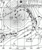
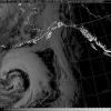
Hurricane force 950 bomb is coming. Looking like anywhere from 40-45 hpa pressure drop over 24 hours.
-
Alaska/Western Canada obs and discussion
baroclinic_instability replied to patrick7032's topic in Central/Western States
A lovely day on King Cove. Gusts to 81 MPH. http://www.wrh.noaa.gov/mesowest/getobext.php?sid=PAVC&banner=gmap&raw=0 -
Alaska/Western Canada obs and discussion
baroclinic_instability replied to patrick7032's topic in Central/Western States
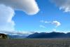
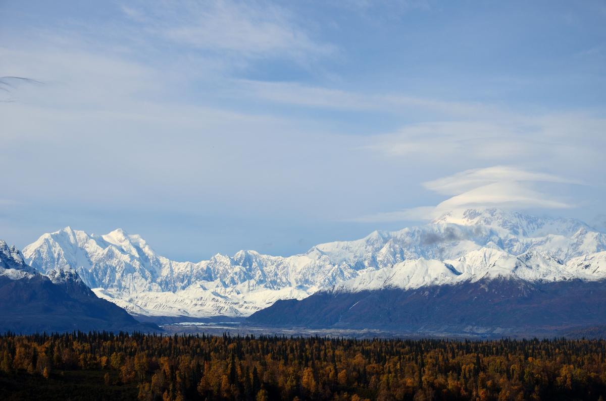
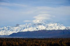
A break in the rain today provided for perfection on top of Denali. Multi-stack lenticulars were incredible. The rest are here: http://www.americanwx.com/bb/index.php/topic/36776-denali-the-alaska-range-and-lenticulars-on-a-perfect-bluebird-day/#entry1756512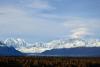
-
Alaska/Western Canada obs and discussion
baroclinic_instability replied to patrick7032's topic in Central/Western States
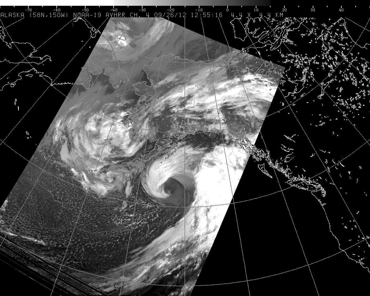
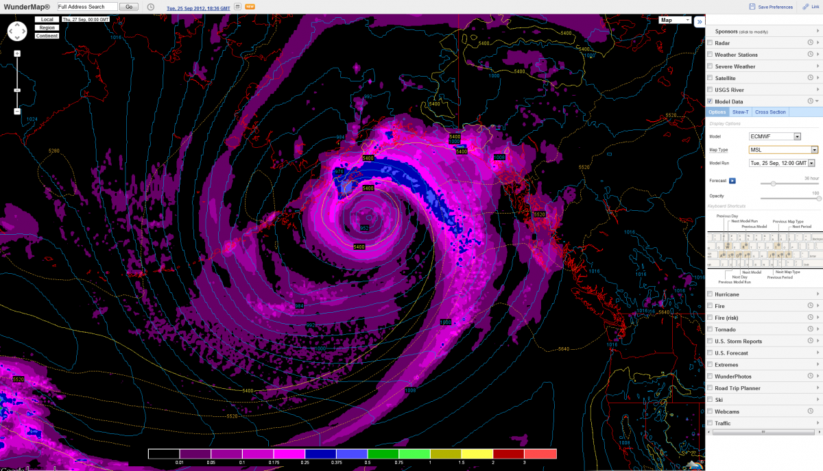
Perfection. Best cyclone I have seen all year.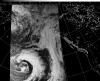
-
Alaska/Western Canada obs and discussion
baroclinic_instability replied to patrick7032's topic in Central/Western States
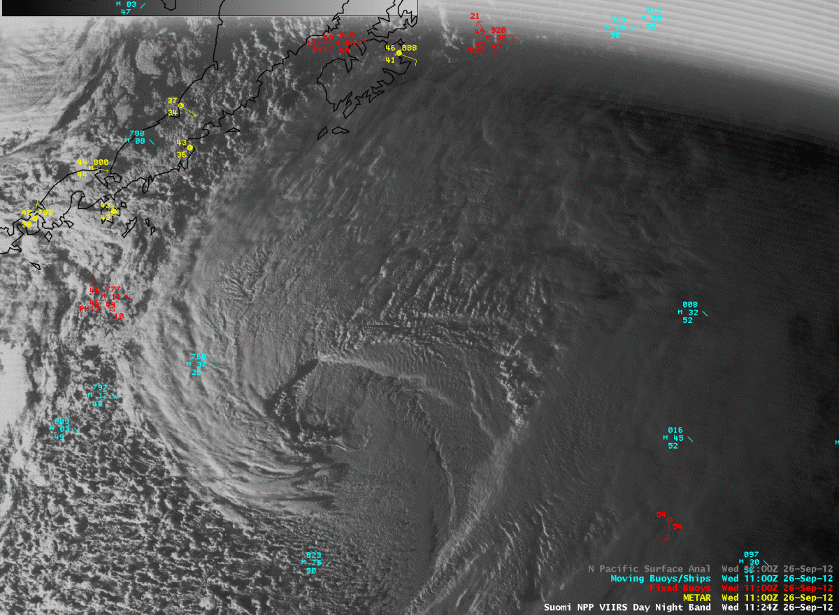
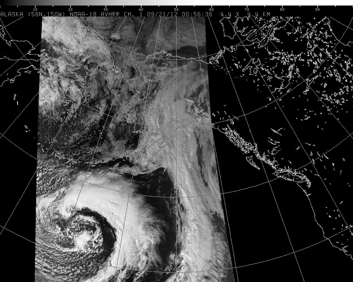
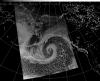
Cyclonic beauty south of the Aleutians.
-
Alaska/Western Canada obs and discussion
baroclinic_instability replied to patrick7032's topic in Central/Western States
The dry airstream of the upper PV intruded last evening over Anchorage, giving us an hour of glorious sunlight and blue skies as the back edge of the storm moved out.