

poolz1
-
Posts
2,702 -
Joined
-
Last visited
Content Type
Profiles
Blogs
Forums
American Weather
Media Demo
Store
Gallery
Posts posted by poolz1
-
-
1.66" here. 10.23" for the month. I'd be perfectly happy to go back to tracking the drought.
-
 1
1
-
 2
2
-
-
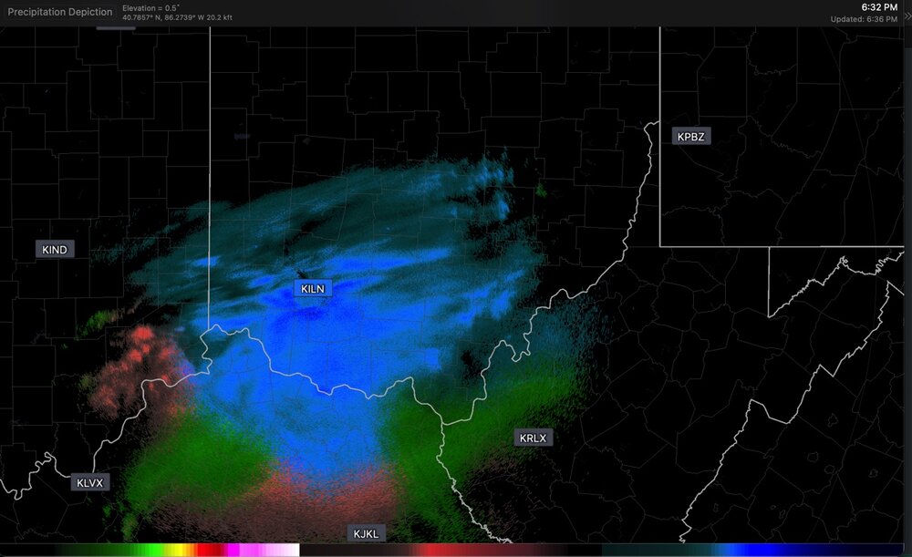
I wonder what ffg is like right now out this way. Lots standing water in the yard and creek remains high. I would think a quick .6+ would cause flash flooding. Storms to the south seem to be pushing in this general direction.
-
Just fished the Monocacy last week and it was at about 2'. Currently at almost 13'. You gotta be a little off to try putting in a kayak.
Point of rocks is set to crest at almost 23'. Been quite a while since we've had a good flush but unfortunate timing as the female smallmouth will abandon their beds in high flow.
-
1
-
-
2.97" for the event. 7.75" for the month of may so far.
-
3
-
-
21 minutes ago, WVclimo said:
That stuff rotating north through Virginia looks like it’s taking aim on the areas of western MD that are already flooding. If it holds together it’s gonna get very serious there overnight.
1.75” here so far and still raining.
Thought the same thing. Creek in the backyard is teetering on spilling over. A little convection could even cause some problems here locally. 1.86"
-
That training from Middletown to Brunswick. WW needs to give an update. Tons of T&L to my east. Moderate rain leftovers here. 3.32" for the event.
-
1
-
-
Got lucky this evening with both rounds adding up to 2.30". First storm did a little back building and had two rounds of pea size hail. Solid storm.
-
3
-
-
7 minutes ago, WVclimo said:
Low track from the mouth of the Chesapeake to Cape May is ideal for our area.
100% That's our benchmark. 2016 without the stall
-
2
-
-
12/15 - .75"
1/6 - 4.5"
1/10 - 1.5"
1/19 - 4.75"
2/11 - 2.5"
Total: 14.5"
-
First dendrites of the evening. Nice mod snow. 1.5"
-
1
-
-
.75" with light snow. 29/26
2nd wave getting its act together in the OH valley. May hit 2" here if that beefs up a bit. Enjoy southerners!
-
 1
1
-
-
Steady light snow with a dusting. 31/25
-
2
-
-
23/16 wishing I was 29/20
1-3 seems realistic here. 2-4 if wave 2 gives a thump.
-
1 minute ago, Stormchaserchuck1 said:
CAD is holding surprisingly strong for the storm after it.

That high N of VT/NH isn't just sliding east like our typical ice-->rain scenario. Not that it is in a great spot but not bad for keeping CAD entrenched.
-
3
-
-
30 minutes ago, Chris78 said:
The Nam is doing what I thought the other models have been trying to do at the end of it's run. There's a second piece of energy that slides up after the initial weak pos wave comes through earlier during the day. It's our best shot for northern areas to get snow prior to the next storm sliding west of us on Thursday. This is more overnight Tuesday into Wednesday. My hope is that becomes a bit more well defined.
RGEM with 2-4 with that second wave. Agreed, we need that to juice up if we want a shot at 2-4. Euro tried at it.
-
2 minutes ago, winter_warlock said:
Lmaoo nice to see but models cant even get tuesday right let alone 2 weeks out lol
Grain of salt no doubt. But 2 LR GFS op runs the past 24hrs that spit out sick amounts of snow. Just indicative of the high ceiling of potential in the pattern.
-
 1
1
-
-
Alrighty then...

-
4
-
1
-
 1
1
-
 1
1
-
-
6Z GEFS moved toward the CMC ens look posted above. Vey nice PAC pattern with everything else looking ripe as well.
-
2
-
-
Sleet/Rain mix. 33/24
-
Im ok with the EPO being neutral to slightly neg on average. Don't get me wrong, the Jan pattern was fun but cold and dry was the main feature and was due to the massive +PNA/-EPO ridge. Even a few days ago the ops were hinting at another return of the avocado due to the impressive -EPO. I do get the lowlands wanting that massive push of cold to set the stage but we are later in the season and a -AO/NAO combo should be all we need. Maybe higher risks of rain/ice but def higher reward potential imo.
-
1
-
1
-
-
Hit -7.0 just before sunrise. Confirmed by a station about 2 miles away which is at -6.3 and truck therm read -6 when I left the house at 630 this morning.
-
4
-
-
-3 for the low. -2.7 currently. Freeze your nose hair weather! Love it.
-
2
-
-
Radiating nicely. 6/0
-
1
-
-
On 1/11/2025 at 9:42 AM, poolz1 said:
12/15 - .75"
1/6 - 4.5"
1/10 - 1.5"
Season Total - 6.75"
1/16 - .5"
1/19 - 4.75"
Season Total - 12"

June Discobs 2025
in Mid Atlantic
Posted
2" on the nose from two rounds last night. Saw the classic trampoline in the middle of a farm field on the way to work this morning. Pretty solid storm.