

SouthCoastMA
-
Posts
6,397 -
Joined
-
Last visited
Content Type
Profiles
Blogs
Forums
American Weather
Media Demo
Store
Gallery
Posts posted by SouthCoastMA
-
-
1 minute ago, moneypitmike said:
weenie goggles?
I thought it was a tick warmer here at onset, but not sure if it was just a timing issue, i.e slower . most likely noise
-
Euro looks good here but may start wet or waste some qpf before it goes to town. Cant really complain since this would be the first notable storm in over 2 years.
-
 1
1
-
-
7 minutes ago, ineedsnow said:
big hit on the Icon
much better than 12z from a region wide perspective. though still slightly north of the current euro/gfs
-
10 minutes ago, ORH_wxman said:
That’s a fat PV to the north. It’s not going to rip inland with that setup. There’s def a northern limit. The goal posts are prob like dendrite to south coast right now for the meat of the snow.
The 18z ICON has stronger confluence so far, but that 12z run was zonked so no surprise
EDIT; Still pretty zonked lol.
-
7 minutes ago, RUNNAWAYICEBERG said:
That would be a SoP crusher. Doesn’t mean much but at least it is not tickling PF’s fanny…yet.
Hes currently sitting quietly, high on his picnic table perch, looking down at the SOP peeps, wiggling his fingers together like Mr Burns
-
 2
2
-
-
3 hours ago, CoastalWx said:
They had extremely heavy wet snow rates, that froze as winds increased at the same time. So a perfect combo for Phil.
For the longest time, I thought the Phil references were about that Cape Cod met that used to post here. I wish he still did, because he knew his shit
-
1
-
-
Ah 2013, aka the Pine Pummeler. Pretty epic along the South Coast/Shore in that regard
-
Just now, 40/70 Benchmark said:
If we had anything into the s stream to phase with....as is it looks like a clipper.
Yeah the GFS had some redeveloper/Miller B vibes at 12z. At the least, we have some threats starting to show on models
-
1
-
-
Feb 16th looks interesting?
-
Just now, RUNNAWAYICEBERG said:
That is awfully close to a phase job and would thus come more north.
Not calling it for this storm, but we've seen the confluence trend weaker in models as we get closer in..in a few storms this year. Just something to watch
-
1 minute ago, ineedsnow said:
crush job
red flag post for coast
GFS looked a hair more amped but still a good hit for most in S/CNE
-
let the 12z north trends commence

-
2
-
3
-
-
Maybe this can trend to a 1/21/12 type storm if confluence trends stronger but yeah I still expect this to move north in the final 96 hours
-
7 minutes ago, CoastalWx said:
Mind you this was before the V Day blitz.

Looked like current day Nova Scotia
-
If the rest of the winter sucks I'm placing 100% of the blame on Moonshine Productions and Astronomy dude, and I will fully endorse their bans.
-
4
-
-
4 minutes ago, WinterWolf said:
So it doesn’t look like rain to snow all the way to the coast as it did this morning…because the Euro shit itself again?
These southern stream systems usually trend north..nothing should be surprising with todays current runs. Maybe confluence trends stronger, but I'm not counting on it.
-
Let's do this again. This area ended up over 30" I believe. I remember someone reported higher than that but it was removed from the PNS so probably bunk. name it
-
1/4" today from OES. enough to whiten things up at least
-
33 minutes ago, Damage In Tolland said:
They flap and droop around like saggers. D batteries in front shirt pockets kind of thing.
the worst boob storm I remember was either last year or the year before. The one where the saggy left appendage rode straight into CT and killed everyone's BL. would've been a big storm iirc
-
4
-
-
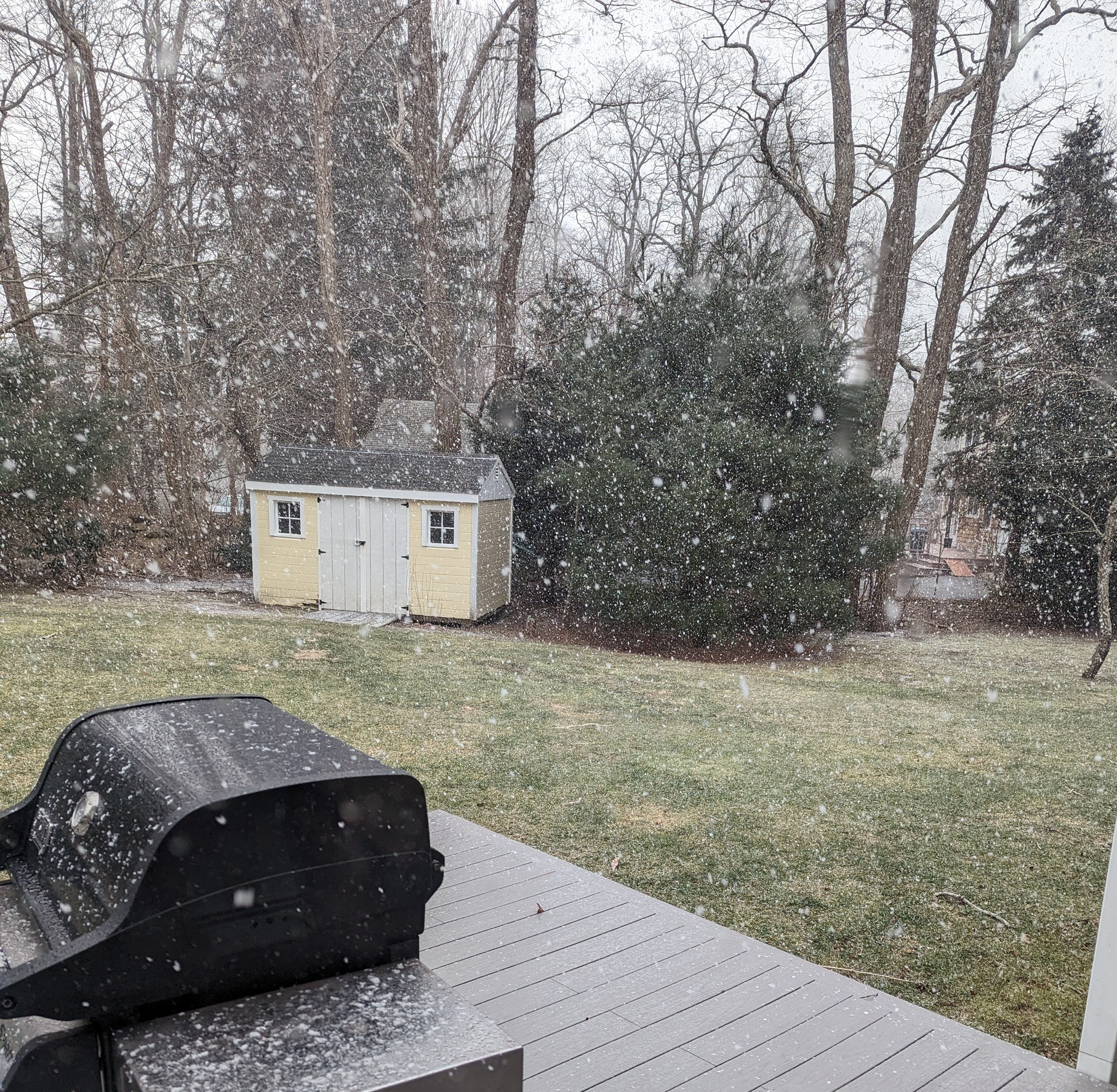
coming down moderately in this snow shower. we'll see if it accumulates but my guess is it won't last long enough
32.7 °F

-
4
-
-
5 minutes ago, mitchnick said:
Eps 0z top
6z bottom
.thumb.png.f8581dce282173333178da2d2b4f8b84.png)
.thumb.png.94ce5d85dedc00a3fcb9927c210822bf.png)
ridge axis a bit further east along the west coast as well
-
Just now, TauntonBlizzard2013 said:
True. The 6z gfs is about the textbook look to get this to work SOP
Yeah still ways this can work..just need that thing called Luck
Granted..speaking strictly of snow threats. Safe to lock in cutters past day 5 this year

-
16 minutes ago, Damage In Tolland said:
The rhhea in your belly ?

after reviewing the 6z GFS from the toilet
-
2
-
-
5 minutes ago, TauntonBlizzard2013 said:
I’ve been saying this for days now, this isn’t really interesting for SOP in any form, even up until you get near Hubb and Ineedrain.
Zero confidence this will thread the needle needed to get a snow event here
when do we have more than zero confidence past 5 days? it's a crapshoot but just something to track at least


.png.3b29b02378d86c9507eed21d97b6d080.png)
.png.54ffde9eecc6c8e57a5f4ab9fa5ec4a1.png)
Following a Miller A/B hybrid type coastal potential, Feb 13th ... As yet untapped potential and a higher ceiling with this one
in New England
Posted
Widespread 5-10" spot 12"
Thinking 5-6" here, at least now