stormtracker
-
Posts
64,402 -
Joined
-
Last visited
Content Type
Profiles
Blogs
Forums
American Weather
Media Demo
Store
Gallery
Everything posted by stormtracker
-

Late February/Early March 2026 Mid-Long Range
stormtracker replied to WxUSAF's topic in Mid Atlantic
1 got one more in us. Mark my words. Enjoy the warmth while you can. I’m not yielding until I have to. We gotta stop this nonsense of giving up on March. -
Outta gas and Outta Time: Early March Winter Storm finale
stormtracker replied to Ji's topic in Mid Atlantic
Sorry to hear about your dad dude. And don’t worry, we’re paying attention but prob won’t see much out of this. -
Outta gas and Outta Time: Early March Winter Storm finale
stormtracker replied to Ji's topic in Mid Atlantic
Can’t wait to see pretty flakes flash melting on contact. -
Outta gas and Outta Time: Early March Winter Storm finale
stormtracker replied to Ji's topic in Mid Atlantic
It’s not always sunny in Philadelphia. But prob will be for this one -
Outta gas and Outta Time: Early March Winter Storm finale
stormtracker replied to Ji's topic in Mid Atlantic
Sterling needs to issues WSWs now. -
Late February/Early March 2026 Mid-Long Range
stormtracker replied to WxUSAF's topic in Mid Atlantic
Let’s get thru this bs warm up and get back to tracking by the weekend. -
Outta gas and Outta Time: Early March Winter Storm finale
stormtracker replied to Ji's topic in Mid Atlantic
Despite this being advertised here as N and W thing, i think we all get in on some snow TV at least. -
Late February/Early March 2026 Mid-Long Range
stormtracker replied to WxUSAF's topic in Mid Atlantic
Bring it home man. To hell with this talk of wanting sustained warmth. It ain’t over till it’s over. Can’t believe people punting in viable winter time. -
Outta gas and Outta Time: Early March Winter Storm finale
stormtracker replied to Ji's topic in Mid Atlantic
We back!- 959 replies
-
- 14
-

-

-

-

-
Late February/Early March 2026 Mid-Long Range
stormtracker replied to WxUSAF's topic in Mid Atlantic
I hope you’re cool/cold rainy and miserable well into April. -
Late February/Early March 2026 Mid-Long Range
stormtracker replied to WxUSAF's topic in Mid Atlantic
never giving up. We have 4 seasons. Yall got 6/9 months of warm and roses and all that jazz. I want the full 3 months of winter I signed up for. I hope it snows till April. -
Outta gas and Outta Time: Early March Winter Storm finale
stormtracker replied to Ji's topic in Mid Atlantic
I’m not going down without a fight. -
Outta gas and Outta Time: Early March Winter Storm finale
stormtracker replied to Ji's topic in Mid Atlantic
It’s a comeback! -
Nope
-
Late February/Early March 2026 Mid-Long Range
stormtracker replied to WxUSAF's topic in Mid Atlantic
I hope all of Chuck's plantings are destroyed by frost or freeze -
Late February/Early March 2026 Mid-Long Range
stormtracker replied to WxUSAF's topic in Mid Atlantic
I'm not giving up. I paid for 3 months of winter and that's what I'm hoping for. -
Outta gas and Outta Time: Early March Winter Storm finale
stormtracker replied to Ji's topic in Mid Atlantic
I like how we all just silently and collectively gave up.- 959 replies
-
- 10
-
-
-
Outta gas and Outta Time: Early March Winter Storm finale
stormtracker replied to Ji's topic in Mid Atlantic
GFS is ok...south with the good stuff, but it snows -
Outta gas and Outta Time: Early March Winter Storm finale
stormtracker replied to Ji's topic in Mid Atlantic
Yeah, that was a notable fumble -
Outta gas and Outta Time: Early March Winter Storm finale
stormtracker replied to Ji's topic in Mid Atlantic
Damn
-
Outta gas and Outta Time: Early March Winter Storm finale
stormtracker replied to Ji's topic in Mid Atlantic
Just skip this run. It's not horrific like Ji said, but it's pretty paltry -
Outta gas and Outta Time: Early March Winter Storm finale
stormtracker replied to Ji's topic in Mid Atlantic
Heh -
Outta gas and Outta Time: Early March Winter Storm finale
stormtracker replied to Ji's topic in Mid Atlantic
I'd be excited if it wasn't just AI. I mean, have they really been as good as advertised? -
Outta gas and Outta Time: Early March Winter Storm finale
stormtracker replied to Ji's topic in Mid Atlantic
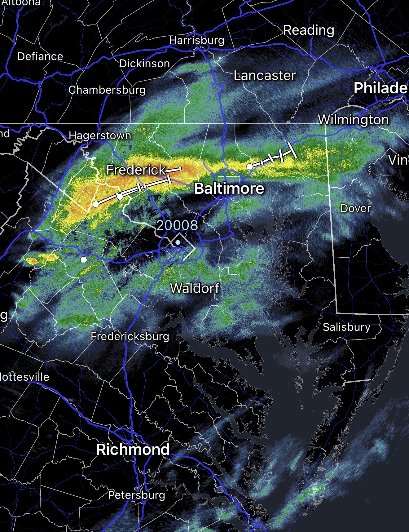
Out to 15 after a late start. Here we go