

stormtracker
-
Posts
63,618 -
Joined
-
Last visited
Content Type
Profiles
Blogs
Forums
American Weather
Media Demo
Store
Gallery
Everything posted by stormtracker
-

2024 Valentines Day Who the Hell Knows - Comeback Thread
stormtracker replied to DDweatherman's topic in Mid Atlantic
If the surface was colder…oh man. -
2024 Valentines Day Who the Hell Knows - Comeback Thread
stormtracker replied to DDweatherman's topic in Mid Atlantic
Man, yall HRRR people are gonna be the new Boston crew re: Euro. I'll be here to console you in my ample bosom -
Damn. We lost a Colonel yall.
-
2024 Valentines Day Who the Hell Knows - Comeback Thread
stormtracker replied to DDweatherman's topic in Mid Atlantic
I wouldn't even wish that on my worse enemy. That's tough -
2024 Valentines Day Who the Hell Knows - Comeback Thread
stormtracker replied to DDweatherman's topic in Mid Atlantic
Oh man....NE has gotta be sweating. The Euro is like 2" for them. Somebody said the UKIE came a little south too -
2024 Valentines Day Who the Hell Knows - Comeback Thread
stormtracker replied to DDweatherman's topic in Mid Atlantic
Blah. I'm. being a deb, but the RAP and HRRRRR? Don't they kinda suck? -
2024 Valentines Day Who the Hell Knows - Comeback Thread
stormtracker replied to DDweatherman's topic in Mid Atlantic
Seems a hair souther...like within the "noise" level. -
2024 Valentines Day Who the Hell Knows - Comeback Thread
stormtracker replied to DDweatherman's topic in Mid Atlantic
Euro coming in drier so far...seems about the same vs 6z -
This is definitely a low point and things look kinda bleak tbh. But I urge everyone to hang in there until at least this weekend or even Monday 0z. Models are all over the place. If the pattern is looking like shit or we're not tracking by then, I dunno man
- 2,509 replies
-
- 3
-

-
- weenie fest or weenie roast?
- weenies got roasted
- (and 2 more)
-
2024 Valentines Day Who the Hell Knows - Comeback Thread
stormtracker replied to DDweatherman's topic in Mid Atlantic
I think we're cooked with this one. Possible, but not likely at this point. Seems like a far N and W event. -
2024 Valentines Day Who the Hell Knows - Comeback Thread
stormtracker replied to DDweatherman's topic in Mid Atlantic
NYC crew has got to be happy. On SV..looks like a 12+ storm for them -
2024 Valentines Day Who the Hell Knows - Comeback Thread
stormtracker replied to DDweatherman's topic in Mid Atlantic
Looks good for the WSW North and west crew -
2024 Valentines Day Who the Hell Knows - Comeback Thread
stormtracker replied to DDweatherman's topic in Mid Atlantic
Meh. Also drier..there was some noise level south movement, but not enough to help the lowlands -
2024 Valentines Day Who the Hell Knows - Comeback Thread
stormtracker replied to DDweatherman's topic in Mid Atlantic
So, if we get snowTV you gonna hand over the 200. Cool. -
2024 Valentines Day Who the Hell Knows - Comeback Thread
stormtracker replied to DDweatherman's topic in Mid Atlantic
Is this souther or a stay vs 6z? -
2024 Valentines Day Who the Hell Knows - Comeback Thread
stormtracker replied to DDweatherman's topic in Mid Atlantic
Had to look at the NAM again...lol..forgot SV uses hour panels. -
2024 Valentines Day Who the Hell Knows - Comeback Thread
stormtracker replied to DDweatherman's topic in Mid Atlantic
That’s me. WTF!!! I told y’all we should have made the thread and kept it pinned. -
Nah. My generation and my folks loved it. He killed that shit
-
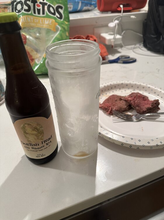
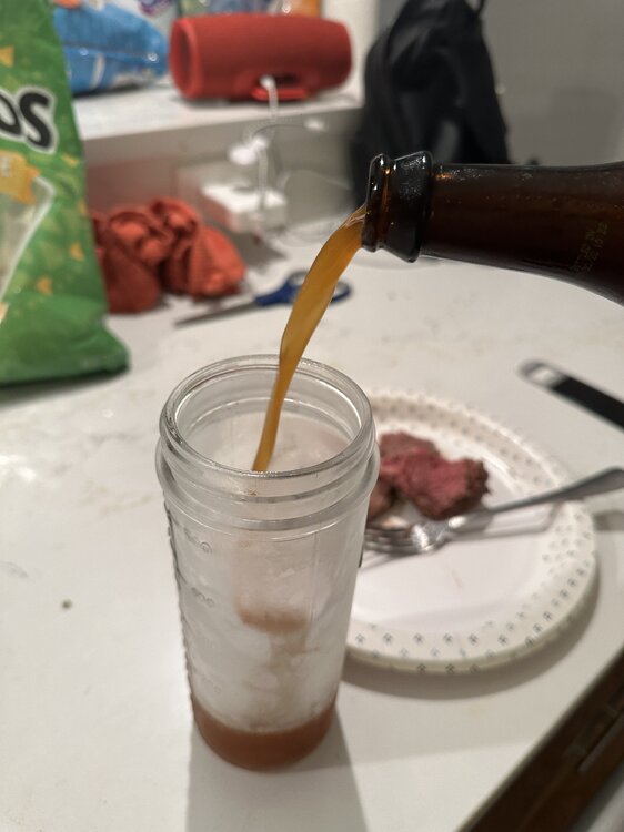
Jesus Christ dude. It’s like drinking beer out of a bourbon barrel. I’m gonna nurse the fuck out of it whooo
- 2,509 replies
-
- 5
-
-

-
- weenie fest or weenie roast?
- weenies got roasted
- (and 2 more)
-
@CAPE 120 and prime rib. It’s happening
- 2,509 replies
-
- 14
-
-
-
- weenie fest or weenie roast?
- weenies got roasted
- (and 2 more)
-
2024 Valentines Day Who the Hell Knows - Comeback Thread
stormtracker replied to DDweatherman's topic in Mid Atlantic
So can we unpin this thread about Boston's 12"-15"? -
It's going to be glorious. And then we will see all of our fallen brothers and sisters in a heavenly snowball fight. You, @CAPE @Terpeast @brooklynwx99 @Bob Chill et all, take us home!
- 2,509 replies
-
- 6
-
-
- weenie fest or weenie roast?
- weenies got roasted
- (and 2 more)
-
2024 Valentines Day Who the Hell Knows - Comeback Thread
stormtracker replied to DDweatherman's topic in Mid Atlantic
I told you that we shouldn't have made a second thread. -
We're gonna do it son. I'm feeling highly optimistic tonight. Jack Daniels helped a little, ngl. And for those who are gonna comment, I'm only doing Jack because it was left over from a party...and free.
- 2,509 replies
-
- 13
-
-
-

-
- weenie fest or weenie roast?
- weenies got roasted
- (and 2 more)


