stormtracker
-
Posts
64,391 -
Joined
-
Last visited
Content Type
Profiles
Blogs
Forums
American Weather
Media Demo
Store
Gallery
Everything posted by stormtracker
-
So far, precip northern extent has increased, temps remain the same
-
yeah, but I think the NAM may come in a bit north, which is no bueno for us...we'll see.
-
No huge changes. S./w just a tiny bit flatter. Confluence just a tiny bit relaxed. Seems like they cancel each other and things are holding so far
-
Still a bit flatter out front vs 12z. Nothing hugely different so far
-
It's early...but so far s/w is LESS amp'd. But only by a hair
-
Alright yall. Let's get into the 18z stuff. NAM is up
-
Home in Cleveland Park. Laredo
-
I was with my man, who is super fine...so prob was him that got us all that free shit. Either way, I ain't complaining. We just got home (restaurant was around the corner) and feeling pretty good. I think I can make it through 18z
-
-
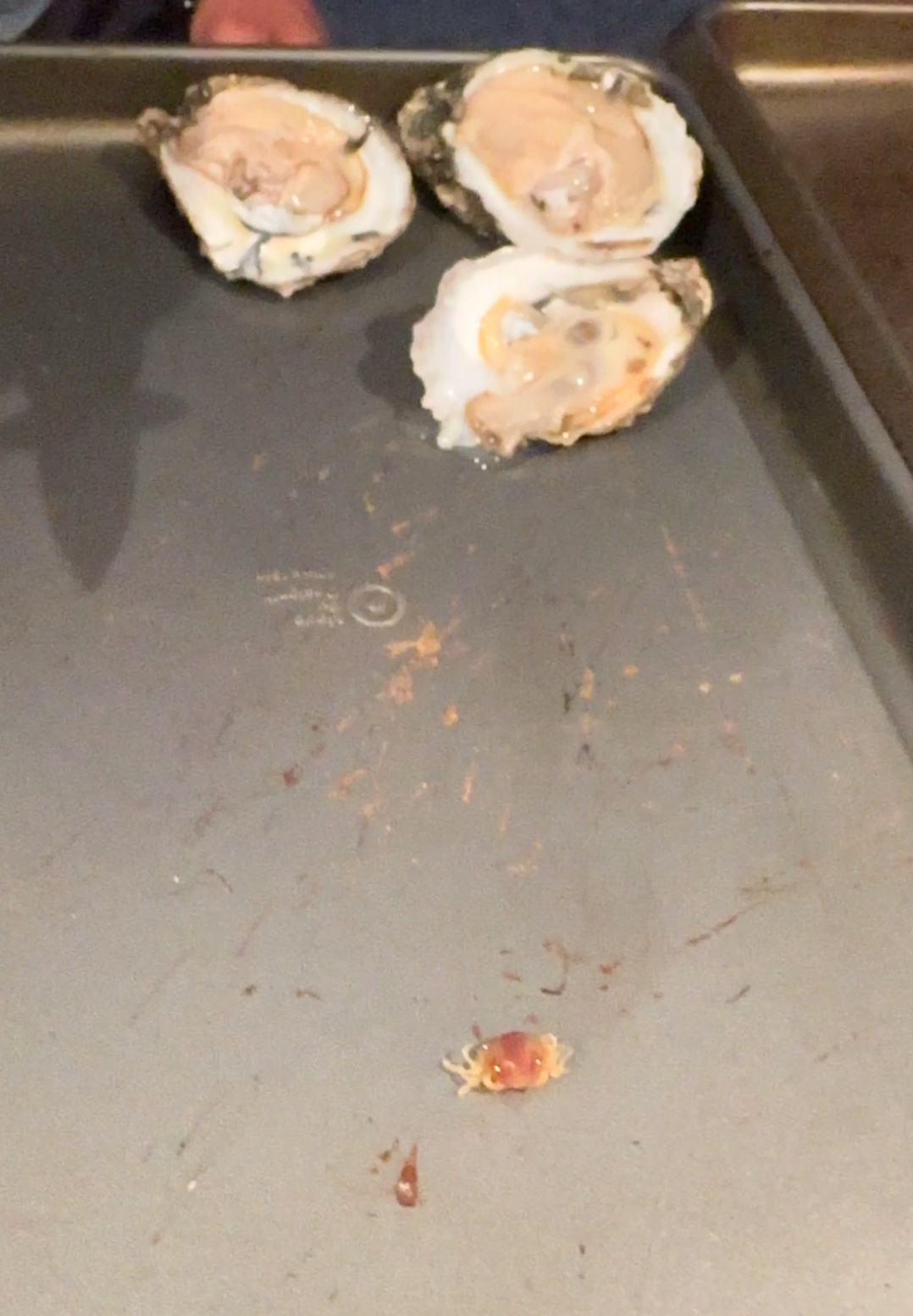
You know you invited mofo. Never gonna forget you were the only one to help me move. Your oysters are on me
-
Why did he do this. On the house.

-
I also said the little crabs were ick. We love the oysters tho. You got it wrong here. All three of us are team oysters. You still gotta find us a spot where those mofos are under 2.50 per. Me and matt are down for an old time oyster gathering.
-
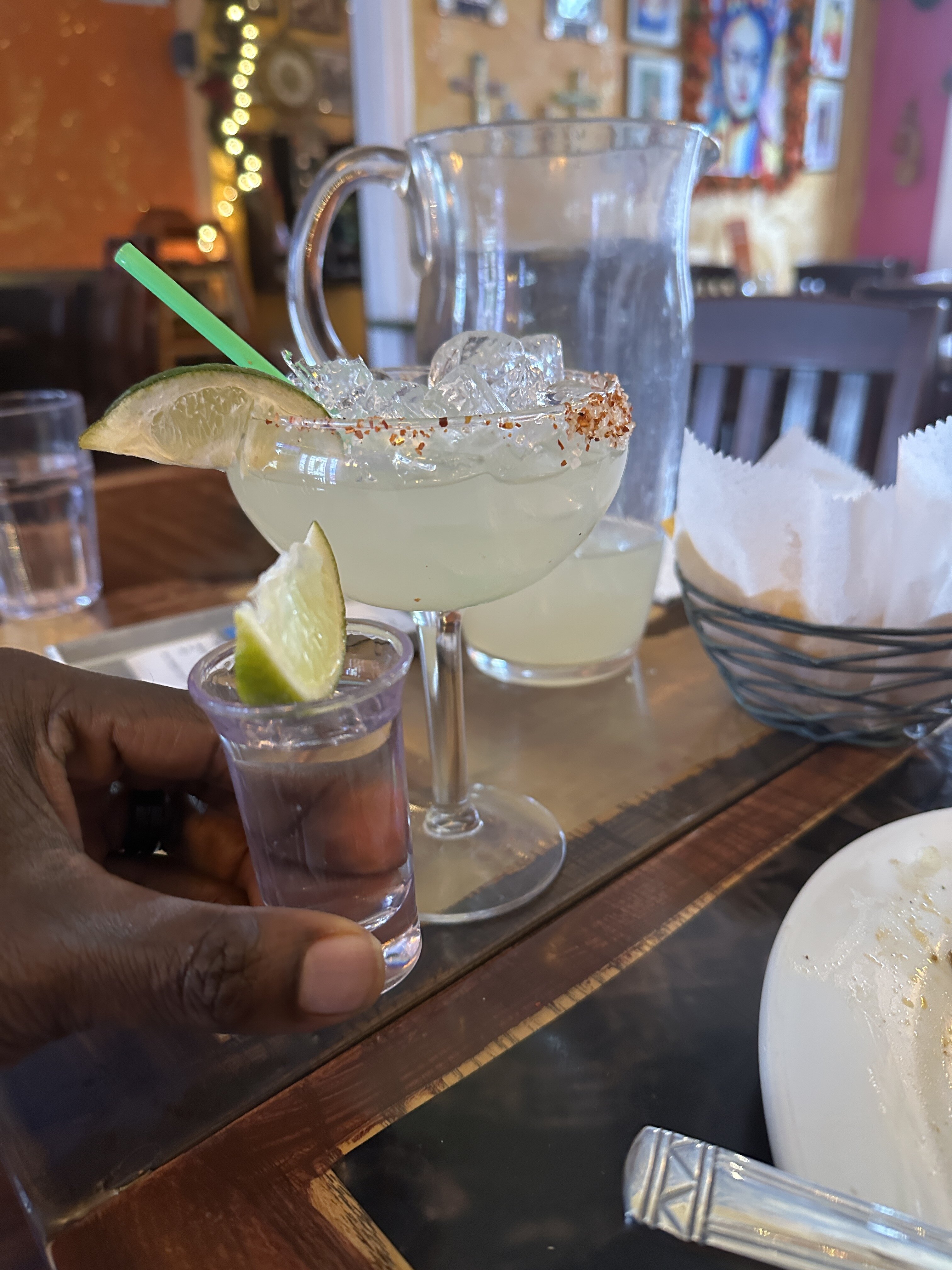
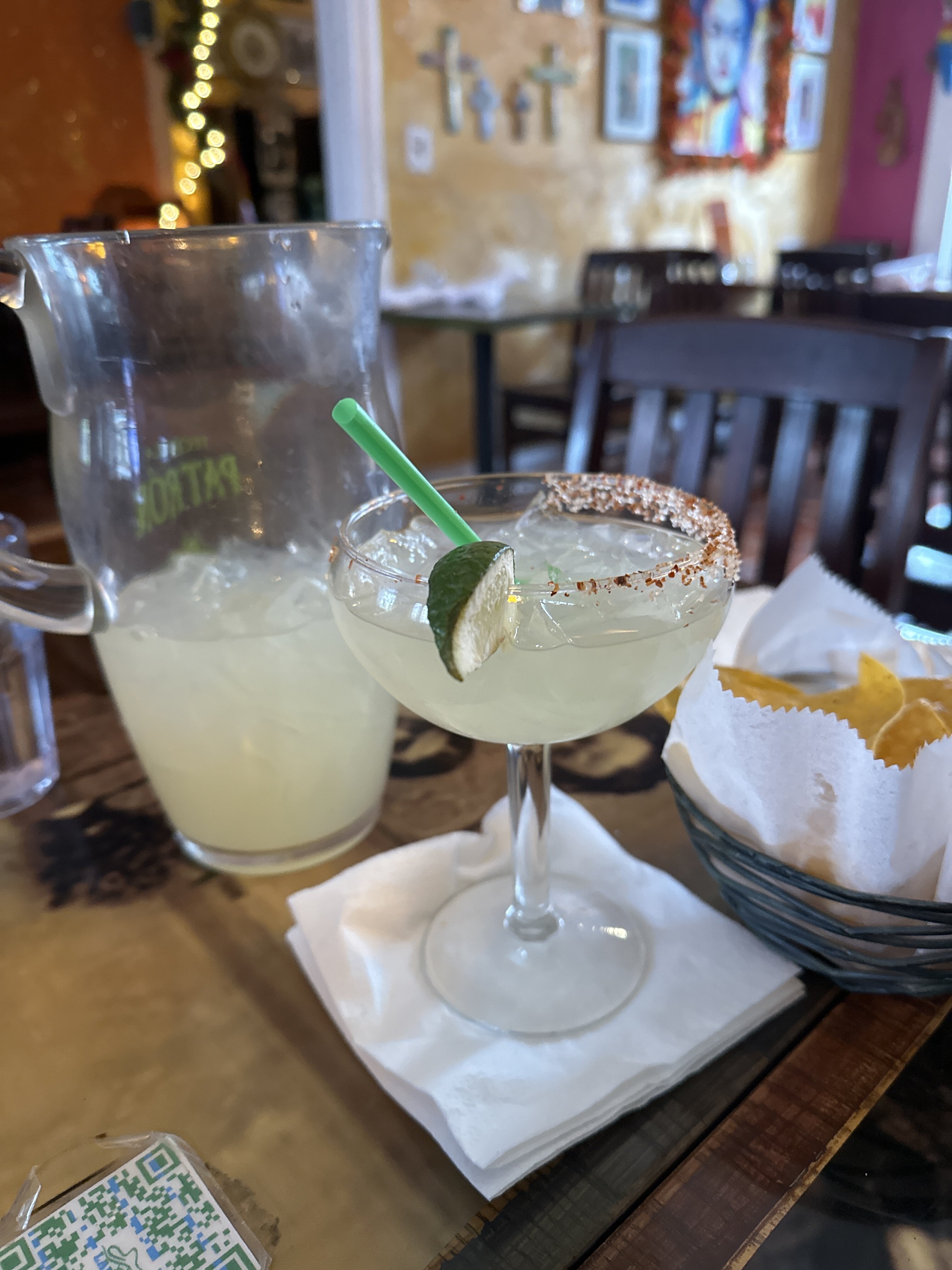
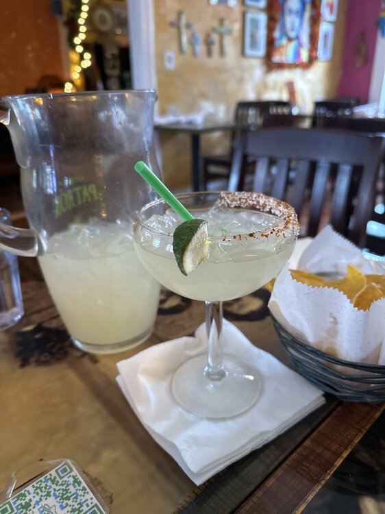
So I might not make 18z pbp. At a Mexican restaurant now and they are strong af waiter is a homo like me and because of the brotherhood/ flirt, he poured half a bottle of Don Julio in that pictcher Of I make it till 4:30, would be a miracle drinking water too
-
He said he likes Oysters. That’s why we’re all confused here friend. Then you went in on him. He’s with us re:oysters.
-
Legit lol
-
Howard, he honestly wasn’t talking shit about our oysters. I KNOW mac, he loves ‘em like we do
-
Correct. Don't miss it one bit. Put the number here one mo' time?
-
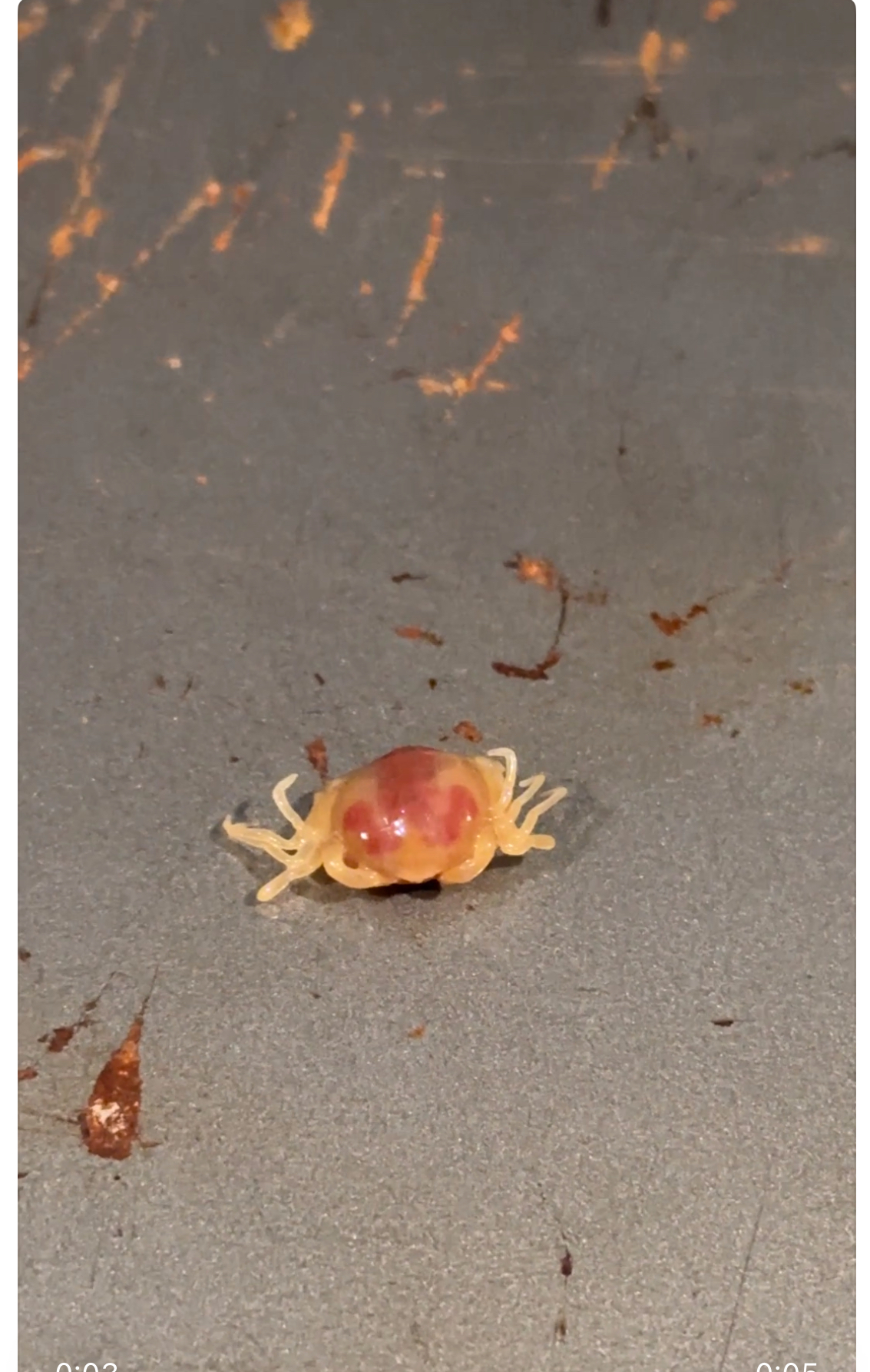
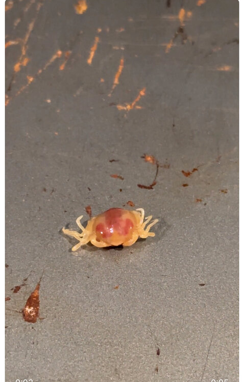
Like dude...No. They looked like ticks.

-
Yeah, we read that too. No way...it just seemed....creepy I dunno.
-
? I wasn't referring to you. I know you're not a newb
-
Holy shit! 2 days ago we got 30 and for the first time ever as the bf was shucking, we saw those little crabs and freaked out. They were in like 10 out of the 30
-
Lookin' good
-
All you gotta do is say the word and I'd slap that green sash back on you with the quickness. But yeah, once we get that going and u wanna 5 post, just text me names
-
You have lost your fucking mind. What's the use of 1.3 of warmer when .5 is wasted on non-snow?
-
Thanks! I actually quit the ways of the Ho. I'm settled down and happy. Now, get on the weather line and say the infamous "Snow. Heavy at times"