-
Posts
976 -
Joined
-
Last visited
Content Type
Profiles
Blogs
Forums
American Weather
Media Demo
Store
Gallery
Posts posted by Harry Perry
-
-
-
Has GHD2 always been 4th on the CIPS list or is it creeping higher and higher?
-
 2
2
-
-
18z looks to be a solid hit around southern MI and a general spread the wealth for many. Wonder if the models will play catch up like the last storm.. i.e. dry air aloft.
-
 1
1
-
-
Our biggest forecasted storm of the season dropped the least amount of snow. 3/4” - models, who needs them?
-
 1
1
-
 1
1
-
-
Flurries have begun in Battle Creek. Right on cue.
-
 1
1
-
-
11 minutes ago, Chicago Storm said:
18z GEM ticked a bit drier again.
.The bleeding just won’t stop.
-
 1
1
-
-
I’m ready for the “general 2-4” snowfall”.
WWA per GRR, spot on. I believe they are accounting for continued bleeding as well.
-
20 minutes ago, RogueWaves said:
I have a feeling that tomorrow will NOT be our day haha. Watch these models come apart and drop accums to 1” or less East of Chicago. Not saying it’ll happen, but we’re definitely on course and would be up to par as of lately.
-
 1
1
-
-
28 minutes ago, Stebo said:
Yeah I think I'm done wasting time on this storm.
High bust potential for both of us. Rather be surprised than get my hopes up at this point.
-
5 minutes ago, Hoosier said:
Still holding at freezing here. I would've bet money on temps going above 32 by now, given multi-model progs and concern about just enough of a marine influence to help nudge temps higher. Could still poke above freezing in the coming hours but there won't be any diurnal help to do it rather soon.
Agreed.
What was melting off my truck earlier is now frozen. Such a tricky call on this system. Back down to 31° here.
-
13 minutes ago, A-L-E-K said:
The hangovers I'm capable of these days are otherworldly
That makes two of us.
-
 1
1
-
-
Up to 32° per my weather station. The glaze on my truck and Jeep is melting rapidly. Don’t see much in the way of that happening on the trees as of now but at 32° and daylight and WAA, I suspect it will begin melting on the trees as well. Lots of run-off. Slushy pavement. Wind is picking up.
One word. Dank.
-
 1
1
-
-
Freezing rain here with occasional pingers. A lot of run-off. Not much accrual yet. Temp at 30°.
-
20 minutes ago, Hoosier said:
Precip rates are always something to consider, but they are probably even more important in the daytime. If your rates are light, I have a hard time believing it would struggle to accrete even at 31-32.
Stop and say it ain’t true...
Sorry, the Jameson and Ginerales have taken over. That being said, for all of our sakes, I hope everyone has a good New Year.
edit**and accretion levels stay in check.
-
 1
1
-
-
17 minutes ago, Hoosier said:
If any daytime marginal temp ice event can work, it's one that is only a week and a half after the solstice. At least you have a morning onset of precip.
Have a strange feeling we (where precip onset is later) will manage to escape anything too severe due to the time of day and sun angle... even only a week and half after the solstice. If we were 27-28° it’d be a different story but a balmy 32° - just isn’t going to cut it, and that’s okay

-
 1
1
-
-
Same here as well. Mood flakes.
-
Even though these are WAA rain showers, it’s still cooling the surface and limiting the destabilization, at least up here in the eastern portion of the enhanced risk. Forecast high was expected to be 89° today. We have stopped at 81° and don’t see any clear indication of the temp rising this afternoon/evening with the several hours of stratiform rain approaching from the west. SPC and GRR both uncertain of the extent of the WWA rain this afternoon too. I’d say the event around here to be a little more of an isolated threat for this evening. Better chances west of Lake Michigan.
-
 1
1
-
-
From GRR this morning
-- Widespread freeze possible record lows Saturday--
As we have been writing about for over a week now, the upper level flow brings us air that is currently over the Arctic Circle. The 500 mb heights fall to near 535 m, which suggest (long story) but highs should not get much over 40. All of the ensemble and long range models continue to forecast lows Saturday morning from around 20 north to the mid 20s near and east of US-131. This would be a killing freeze if it happens. Sunday morning may be nearly as cold too.
-- Next system Sun/Monday ????--
As I suggested yesterday, the upper low that brings us the cold air rotates around brings another shortwave from the northern stream into our area Sunday or Monday (depending on which model you choose or which version of which model you choose). The 00z run of the ECMWF is now bringing the system farther north, like the GFS did yesterday and continues to do today. That would bring rain and snow into the area Sunday or Monday. Given this is a northern stream system, it would not have Gulf moisture so precipitation amounts would be less than a 1/4 inch. Still, if it were to snow Sunday night we could see 2 to 4 inches on grass areas by Monday morning.
Handy.

-
 2
2
-
-
13 hours ago, Spartman said:
First 80-degree day of the year today as temps overperformed to reach 83. Likely the warmest we'll get for this month unless things approve during the second half of this month as what Crankyweatherguy has been suggesting.
Second half of May (roughly from the 14th through Memorial Day) has the sub firmly in the heat and juice with several rounds of strong storms. Kinda funny, it shows highs in the 40’s and 50’s for most of us, then on the 15th, we just flip the switch to 80’s lol. Typical. But don’t get too excited, the eastern trough comes back in by the beginning of June similar to the first half of May, but thats to chew the fat on when that next bout of “why the **** do I live here again?” Comes in.
-
 1
1
-
-
Well I see May is a dumpster fire. Warmer than normal winter followed by a cooler than normal 4th (5th)? Lost count - winter.
-
 2
2
-
-
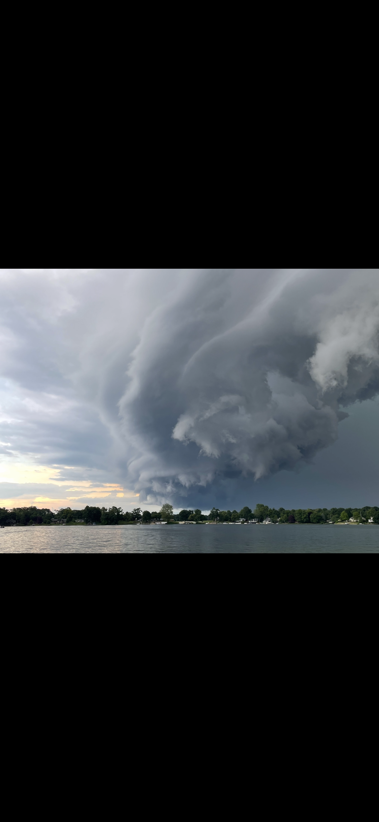
Intriguing setup around these parts later this evening. Will be interesting to see it unfold.
-
-
49 minutes ago, MIstorm97 said:
FWIW, definitely running ahead of what the HRRR has been outputting for the Detroit area. 00z run had 0” for SE Oakland County at 06z. Meanwhile, I just measured 1.0” exactly. Hopefully a sign of things to come.
Exactly 1” here as well.
-


January 30-February 1 Winter Storm
in Lakes/Ohio Valley
Posted
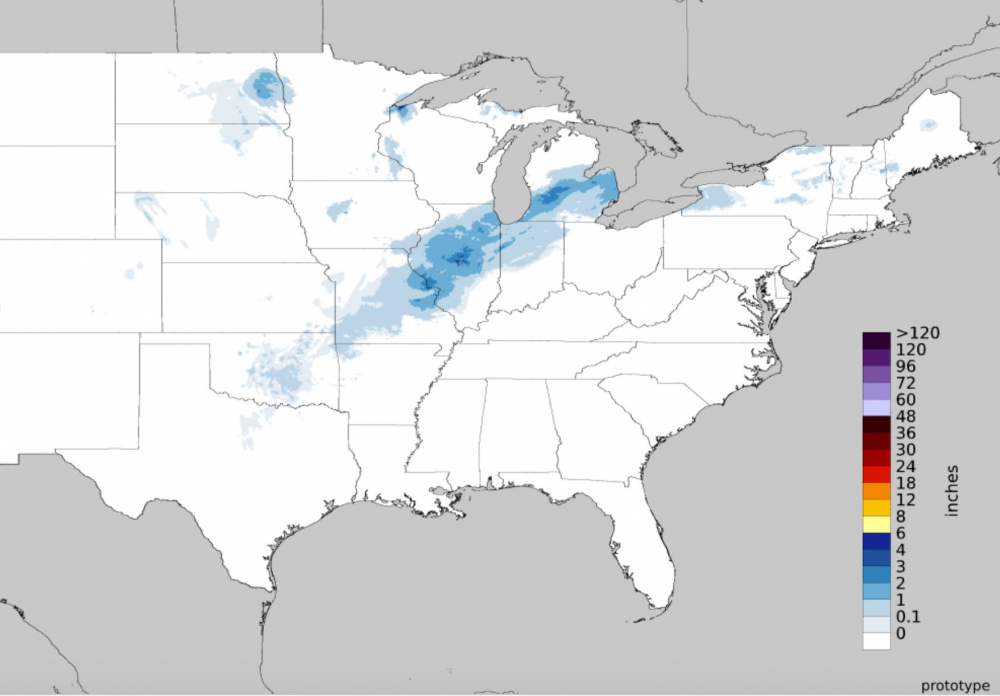
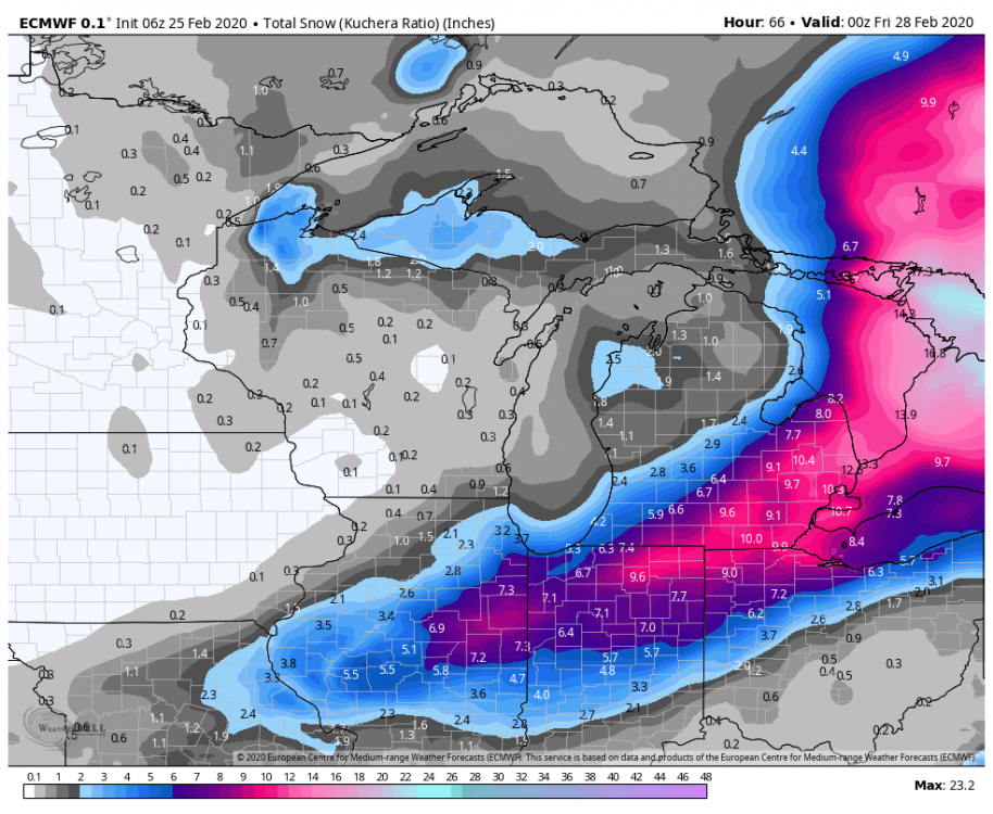
Yeah that would be our luck. Wonder if the wave ejects further south. Currently riding the trough out west. Sampling/tomorrow’s runs should help with this but I’m willing to be we actually get our first legitimate “storm” (2-4”) out of this.