

madwx
-
Posts
2,113 -
Joined
-
Last visited
Content Type
Profiles
Blogs
Forums
American Weather
Media Demo
Store
Gallery
Posts posted by madwx
-
-
Should get some picturesque storms moving in from the west around sunset
-
 2
2
-
-
14 hours ago, OrdIowPitMsp said:
AQI around 180, a smelly nasty smoke filled evening. Wouldn’t want to go outside looking for the Aurora if it was right overhead.
Reupping this bad boy from last year
-
 5
5
-
 2
2
-
-
Nice gusty storm moves though. Steep lapse rates helped bring the strong winds to the surface
-
2
-
-
For everyone in the subforum if you have clear skies outside you will be able to see the aurora right now
-
1
-
-
gonna get the nice gusty storms aurora combo tonight
-
got 1.08" here. had four rounds of storms, the last one being severe. really cool to have a situation where the atmosphere just wanted to keep convecting
-
3
-
-
6 hours ago, A-L-E-K said:
extended looks good
yeah, what looked like a cool shot only ended up being slightly below avg this weekend. Even with NW flow and an E trough in the extended all we can manage is slightly below average 850 temps on a few days
-
2
-
-
super dry air. Dews in the low 20s. Should increase by 40+ degrees over the next 40 hours
-
1
-
-
Touched 28 this morning. Thinking this will be the last freeze of the year. Just have to keep an eye on the middle of next week
-
up here looking like two main rounds with the two waves/lows that ride NE. First is a heavy rain threat Friday afternoon transitioning to scattered severe storms overnight and into the afternoon on Saturday. The second low will bring more heavy rain and a risk of severe along the triple point on Sunday afternoon and evening.
-
1
-
-
lol at this warning
-
1
-
3
-
-
have to be getting excited about storm chances starting on Friday for at least a week. Could see an active and warm pattern linger through at least the 7th of May
-
2
-
-
A few flurries currently. Wind is biting
-
2
-
-
7 hours ago, rainsucks said:
I'm not even convinced yet that next week's will pan out as currently modeled by guidance. I'm not saying it won't, but the models continue to overdo the intensity of cold shots time and time again, so I'm a bit skeptical.
You are right about that. The Euro AIFS has been trending warmer with each run for next week
-
After this weekend and the one middle of next week I think we should be done with cold shots after that
-
1
-
-
1.31" yesterday and today. Up to 3.74" for the month.
-
1
-
-
Mostly just gusty winds here. But the lightning and thunder has been impressive. A constant roar for about the past 25 mins
-
big overperformance today, most models had us in the low to mid 50s but we've popped into the low 60s. even a few scattered showers out there
-
5
-
-
solar radiation bottomed out at 65 w/m2. temp dropped 4 degrees as the peak passed
-
2
-
-
yard is mostly bare again, just patches of snow. Should fully melt away tomorrow
-
1
-
-
last of the snow showers moved through around 1115. Maybe the last snow of the year here?
-
1
-
-
Accumulation was basically 0 today. Shows that in these marginal edge of season situations snowfall rate really determines everything
-
1
-
-
Think we got about 3” yesterday and about .5” overnight. But it’s all turning to slush. Expecting an inch or maybe 2 today but rates should be much lower. Ready for this to be over
-
1
-
-
Roads were bad for a couple hours during peak rates but seem to be clearing up now. Precip has turned into a rain/sleet mix
-
1
-

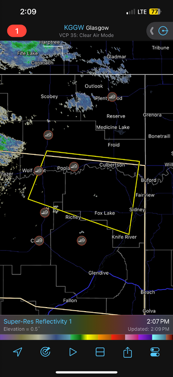
May 20-21 Severe Threat
in Lakes/Ohio Valley
Posted
Was a pretty intense night of storms. Had a QLCS train over the area with three main cores hitting us. The third was the strongest. Giving us about a 10 minute period of 65+ mph winds with a few stretches of 70+. Also heavy rain, the backyard is a lake now