WVsnowlover
-
Posts
690 -
Joined
-
Last visited
Content Type
Profiles
Blogs
Forums
American Weather
Media Demo
Store
Gallery
Everything posted by WVsnowlover
-
The Weekend Rule? Saturday 2/17 - The Icon Storm
WVsnowlover replied to DDweatherman's topic in Mid Atlantic
Your math isn't mathing lol -
2024 Valentines Day Who the Hell Knows - Comeback Thread
WVsnowlover replied to DDweatherman's topic in Mid Atlantic
I'm right at 10" for the year about 20 miles to your NE. -
2024 Valentines Day Who the Hell Knows - Comeback Thread
WVsnowlover replied to DDweatherman's topic in Mid Atlantic
Back edge quickly approaching here. Picked up about 1.5" at the house. -
2024 Valentines Day Who the Hell Knows - Comeback Thread
WVsnowlover replied to DDweatherman's topic in Mid Atlantic
Berkeley County, WV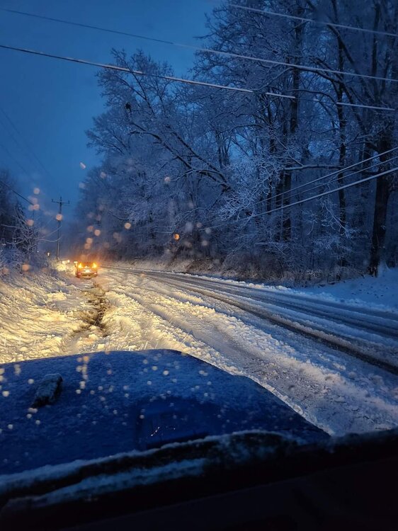
-
2024 Valentines Day Who the Hell Knows - Comeback Thread
WVsnowlover replied to DDweatherman's topic in Mid Atlantic
Roads are are absolute mess out here. Accident reports starting to pile up. Quite a few reports of downed trees in roads as well. -
2024 Valentines Day Who the Hell Knows - Comeback Thread
WVsnowlover replied to DDweatherman's topic in Mid Atlantic
Absolute rippage out here. Everything covered including paved surfaces. Just got the call that schools have been canceled. -
2024 Valentines Day Who the Hell Knows - Comeback Thread
WVsnowlover replied to DDweatherman's topic in Mid Atlantic
Just starting to mix a little here (25446) -
2024 Valentines Day Who the Hell Knows - Comeback Thread
WVsnowlover replied to DDweatherman's topic in Mid Atlantic
Nam on board as well -
Spent the day on the water fishing with my oldest at SML. Absolutely gorgeous day. Ended the day with this shot from our patio.
-
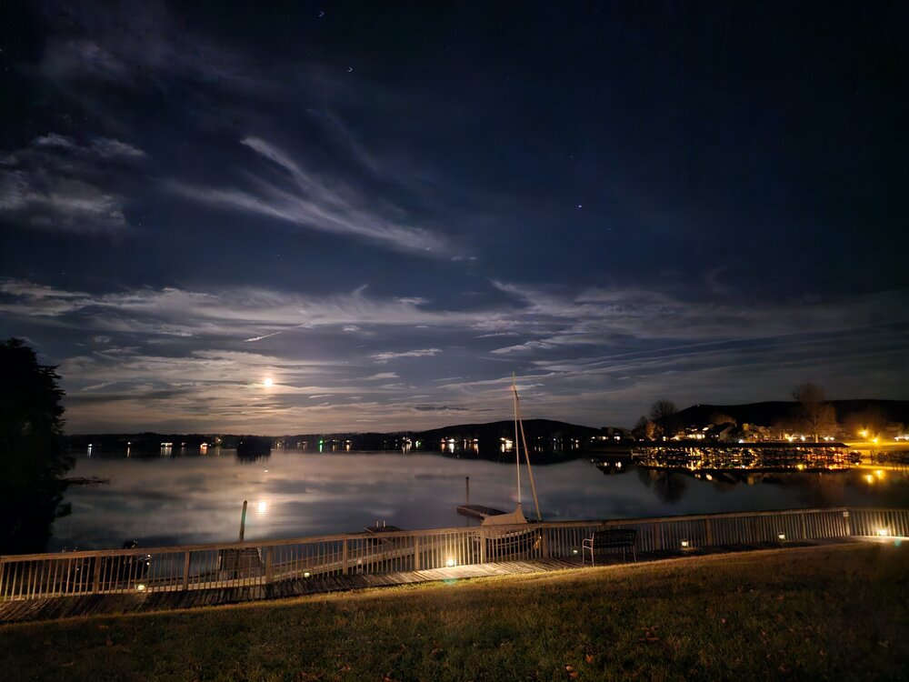
Absolutely gorgeous sunset this evening
- 960 replies
-
- 14
-

-
Very true. All models failed miserably. I was more pointing out that the NAM was the first to hint at the higher upside potential.
-
Nice snow shower moving through here now.
-
The Nam did well seeing the upside but only at around 24 hours out. It was the first to start spitting out pockets of 6"+ if I remember correctly.
-
Bernie Rayno had this storm right from day one. Didn't he have our whole region around 5-8" like 4 days ago?
-
That's awesome congrats!
-
Looks like a nice last hoorah streamer moving through DC. Frederick getting hit as well.
-
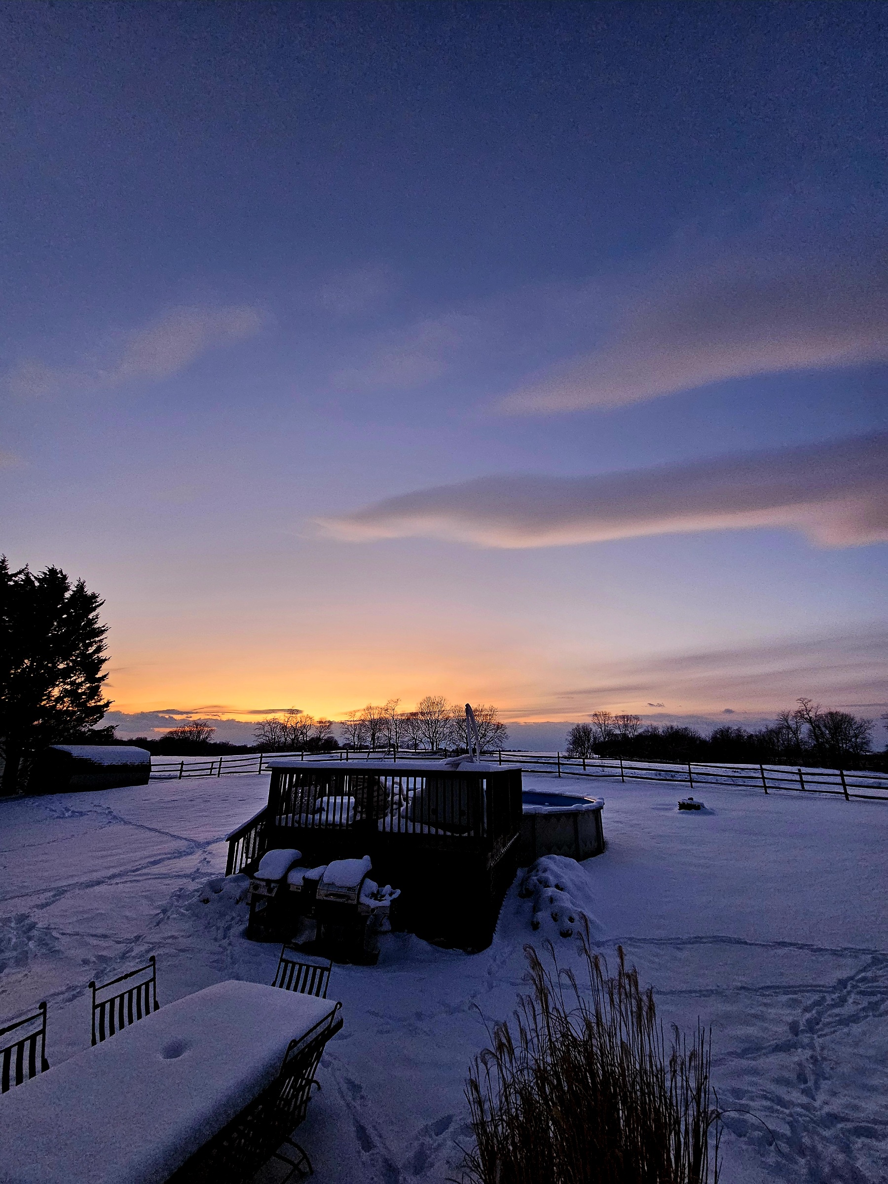
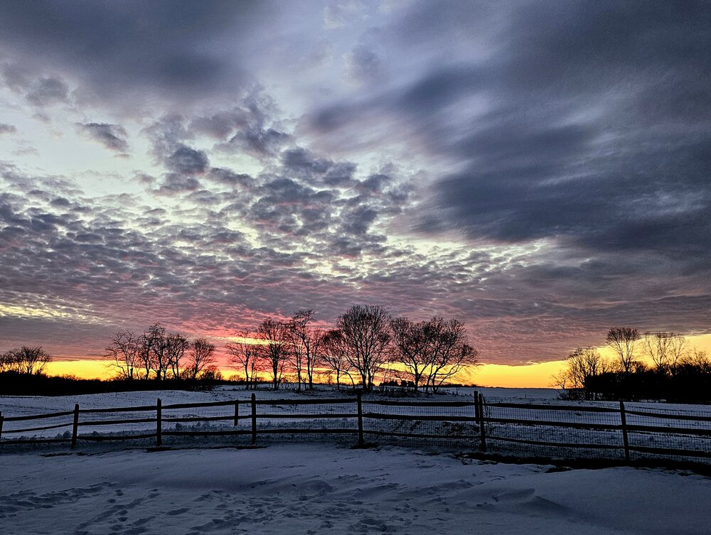
Ended the day in the hot tub with the family and this view. The tall rye & ginger was icing on the cake. What an amazing week of winter we had! Cheers everyone

-
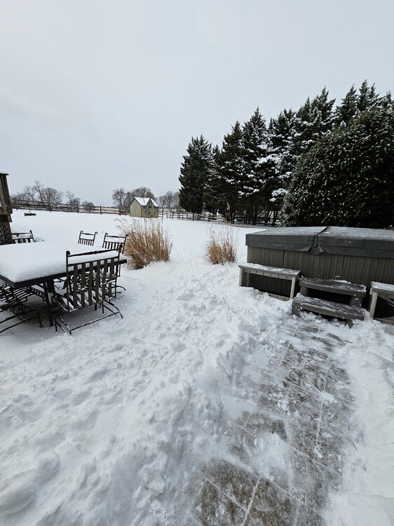
Absolutely beautiful evening. Just got do e clearing about 1000' of driveway between mine and two neighbors. Ready for a soak in the hot tub now. Ended up with 4.5" here.
-
Just had a streamer roll through. It was puking fatties and the winds really picked up. It was near white out conditions at times. The sides of my back yard are lined with cypress trees and about 90% of the snow on them blew off in the gusts. It only lasted a few minutes but wow that was fun!
-
Currently the biggest flakes and best rates of the day here (not counting what happened early this morning while I was sleeping). Absolute winter wonderland out there! My heart is happy
-
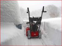
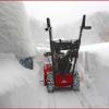
Rates just picked up here. Out snowblowing and shoveling the driveway. Channeling my inner Jebman. Making those piles high! Lol
-
Beautiful home!
-
I heard Anchorage is doing well this winter. I believe real estate is a good bit cheaper there vs Loudoun County as well
-
Just measured 4" on the dot on my paved driveway. There's definitely been some radiant melting and compaction. Would guess it's probably around 4.5"-5" if I had been doing proper measurements with a snowboard. Biggest snow in 2 years
-
Nam and HRRR are both insistent in showing a nice band over me around 5-6pm. It's been showing up for several models runs now.