

NeffsvilleWx
-
Posts
6,908 -
Joined
-
Last visited
Content Type
Profiles
Blogs
Forums
American Weather
Media Demo
Store
Gallery
Everything posted by NeffsvilleWx
-
Decent band of storms just west of I-95 along the space coast. I’m a mile or two east of it.
-
 You don’t know that sentience isn’t an unexpected result of AGW —- you’re just guessing!
 -
Where do you get these products?
-
Eyewall meso?
-
Yeah that’s kind of what I was getting at. IF that is occurring, there’s going to be a lot of unexpected behavior (globally) that certainly won’t make preserving life and assets any easier. In fact, depending on rate of change, I could even see accuracy degrading. Of course, it’s all a big IF. I’m not educated enough on the subject to know.
-
Storms like this make me question whether the “rules” of tropical meteorology might be changing before our eyes. And I’m basing this question on how important precedent seems in our understanding of the science, which, admittedly, could be totally off base because IANAM.
-
Exactly what I was looking for. I knew that — but had forgotten it. Thanks! so the (very) basic idea is to look at global and hurricane models (for details that are smaller than global resolution can discriminate), then apply those small resolution features to the bigger picture the globals are showing?
-
Of course. I was more asking about (what appears to me to be) the major initialization discrepancy for the 06z euro. That is, euro showing 55kts when measured was over 100 kts at approximately the same time. just trying to sus out which model’s got the best pulse on the storm today. IMO, GFS and HAFS initialized much closer to actual conditions at the time.
-
Caveat: this was a very quick glance so some of the numbers might be a bit off. But I believe the overall notion is correct. Looking at today's 06z runs vs recon data, it appears like the euro is too weak compared to what recon is seeing: From the 06z models (from 12z output) --- Euro - 999 mb @ 55 surface kts. GFS - 978 mb @ 113 surface kts. Recon (at 13:22z) - 974 mb @ 113 surface kts IMO that's a fairly large discrepancy. I would think this delta between initialized param vs measured param could have a pretty significant on storm track. Mainly, Beryl moving north quicker than euro shows. Will be interesting to see how the euro changes on the 12z run assuming this measured data is used for initialization. Anyone see any errors or invalid assumptions in my logic?
-
Looks to me like both AF and NOAA might have dispatched 2 birds apiece from CONUS to the carib.
-
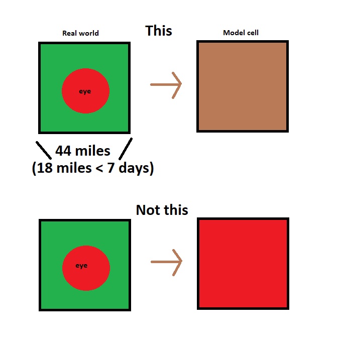
Cells are an average value of all their contents. If a cell has pressure values of 1024, 1028, 1010, 1015, and 948, then that cell will be given a value of 1005. Even though there's a 948 mb low in there. There's probably some fancy math nuance to it that mets could chime in on, but I believe this is the gist of it (cell dimensions vary by model).
-
Recon is back on the ground per ADSB data. Wonder what happened.
-
Going to be a bumpy ride for recon. Hopefully they don’t end up in a Hugo situation — which occurred during a period of RI.
-
No, my argument is that the "+" implies numbers greater than 5 exist. For a public that already struggles with basic weather stuff, let's not further muddy the waters when we know better.
-
Interesting, thanks. I'm assuming this can have big impacts on steering and thus path? OT: How's Centerville Road traffic with all the construction? We left in August of 2021 shortly before it started. I graduated from Penn Manor, shadowed Horst on career shadowing day in middle school during construction of the current building and top floor lab, attended MU for meteorology for about a year before my immaturity led to dropping out -- Millersville is my old stomping grounds). Now instead of watching hurricane impacts from behind a screen, I'm living them. Thank god for post-Andrew building codes, shutters, block houses, a bit of elevation, and a whole home generator.
-
He probably just means significantly above the 135 kt threshhold. I mean, if Lee were to reach MPI after the first EWRC, it could get down in the 910s. A 150 kt storm is not impossible with this setup. I'm not calling for that as there can always be unexpected variables, but he probably thinks it will. The "+" is unnecessary sensationalism and not even a "thing." Just call it a strong cat 5. Draw a comparison to Camille or something. Don't make shit up for effect, it makes you look dumb.
-
I really want to know what the + means in 5+.
-
2023 Atlantic Hurricane season
NeffsvilleWx replied to Stormchaserchuck1's topic in Tropical Headquarters
Aside from the timing (ie - imagine the steering pattern solutions were more reliable) -- is my overall take accurate? -
Really surprised to see him so soon after the storm. I guess there weren’t any minority families around to exploit… I mean to help boost his image/brand… I mean help.
-
2023 Atlantic Hurricane season
NeffsvilleWx replied to Stormchaserchuck1's topic in Tropical Headquarters
Caveat: not that knowledgeable about tropical dynamics. On the euro: It looks like there's quite a bit of shear present north of the Caribbean at 216. And that mid level trough extending to the tip of Fl seems like it'd keep it out of the Gulf and away from the eastern seaboard. Though by 244 looks like that trough might be breaking down. Someone with more knowledge care to chime in? -
13g29. Big nothingburger here in Melbourne. Which, being on the outside edge of the TS warnings is about what I expected.
-
I'm measuring radius of about 6 miles at an altitude of about 16k feet per TBW radar
-
NHC possibly thinking that some land interaction is going to pull it a bit east? Not sure that sort of nuance is captured in models.
-
got some rain up here in Melbourne as well. And the local statements with bonus TS watch. Not really expecting anything more than a breezy, rainy day.
-
And -10 mb from model guidance assuming 979 is accurate. Edit: not sure if I believe it. NOAA marked the eye an hour ago at 988. Wilma has the record for pressure frop @ -4.2 mb per hour. I'm gonna go out on a limb here and say either this is unprecedented or the data is invalid. Because it's not even in the eye so one would expect the pressure to be even lower.


