

Met1985
-
Posts
16,909 -
Joined
-
Last visited
Content Type
Profiles
Blogs
Forums
American Weather
Media Demo
Store
Gallery
Everything posted by Met1985
-
All snow now with a temp of 31 degrees.
-
Just got home. Temp is 33 with white rain.
-
Snow mixing in with rain now.
-
Lol it's raining near the airport. This area sucks for snow.
-
Yeah this next round coming through will lay better in my opinion..the two week warm spell warmed up the ground a bit but starting tonight temps plummet. Tomorrow's high for many will only reach around 20 degrees while some may not get out of the single digits and the lows for tomorrow night probably around 0 to 5 degrees if not colder.
-
Yeah that's really impressive for them down there.
-
We should! There are some nice places in Biltmore park.
-
Moderate snow here on Hendersonville rd near Long Shoals Sent from my SM-G998U using Tapatalk
-
Just got word that back at home we've got about an inch of snow and still hammering
-
Nothing here near the airport
-
Snowing moderately at exit 37.
-
Haywood getting covered quickly.
-
Heavy snow now! Driveway is covered along with the grass getting covered. Temp down to 29.
-
Wait until tomorrow morning brother!
-
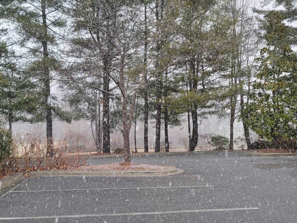
Big fat flakes coming down now. Deck is already dusted. This is that thick crunchy snow you hear falling.
-
Just started snowing here now.
-
Temp at 30 degrees with virga.
-
Yeah seems like we've had nothing but weird systems.
-
That cuttoff is crazy.
-
Lol it's nice to joke around a bit. Keeps the mood light.
-
Dang @franklin NCwxcoming in off the top rope in the storm thread!
-
Lol those peasants down east can suck on some cirrus...
-
Oh yeah we have the teles and the MJO that is going to be helping out a lot. You can see on the gfs already that we are in for several possible rounds of snow for the mountains.
-

February 19-20 Major Winter Storm Threat
Met1985 replied to NorthHillsWx's topic in Southeastern States
That's pathetic. Funny how the Euro was showing a monster storm then just dried up... -
February 19-20 Major Winter Storm Threat
Met1985 replied to NorthHillsWx's topic in Southeastern States
Lol well bourbon or a good scotch but yeah peasants....


