Met1985
-
Posts
16,670 -
Joined
-
Last visited
Content Type
Profiles
Blogs
Forums
American Weather
Media Demo
Store
Gallery
Everything posted by Met1985
-

2021-2022 Fall/Winter Mountains Thread
Met1985 replied to BlueRidgeFolklore's topic in Southeastern States
Congrats to everyone getting hit hard! This is just the beginning. -
2021-2022 Fall/Winter Mountains Thread
Met1985 replied to BlueRidgeFolklore's topic in Southeastern States
-
2021-2022 Fall/Winter Mountains Thread
Met1985 replied to BlueRidgeFolklore's topic in Southeastern States
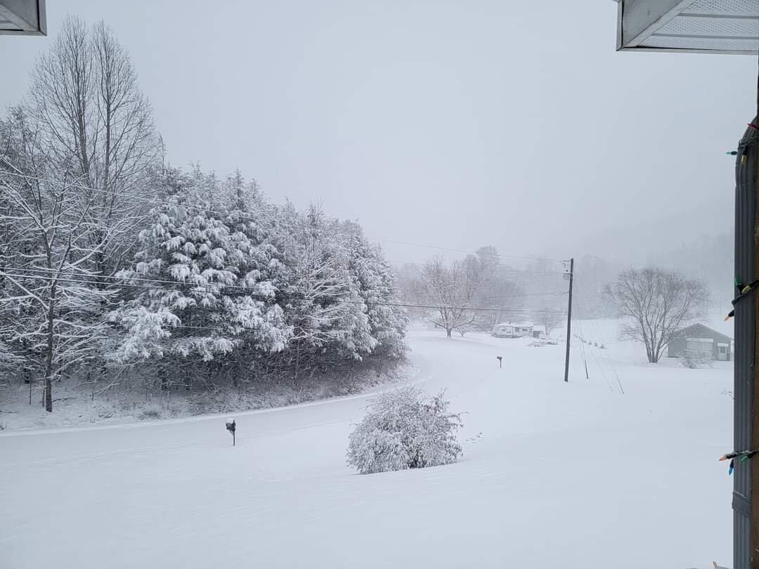
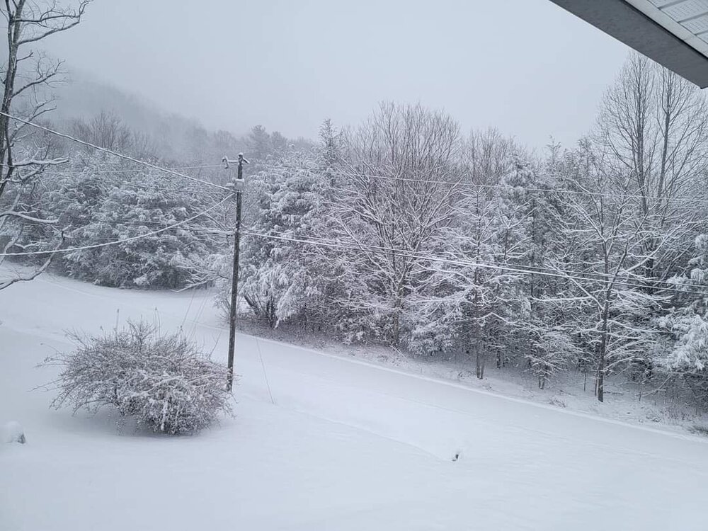
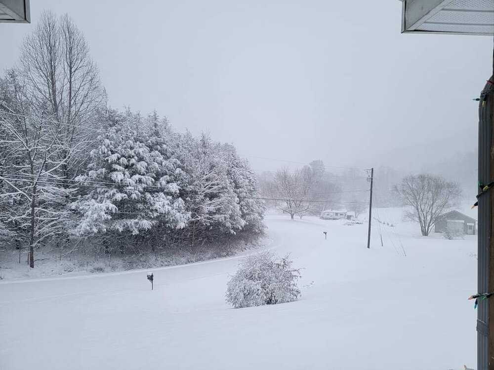
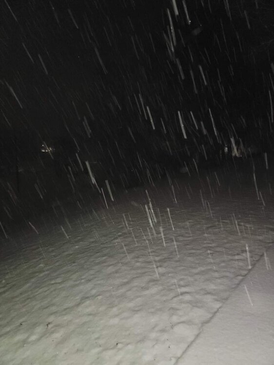
6 inches of snow and counting. Absolutely ripping this morning! -
2021-2022 Fall/Winter Mountains Thread
Met1985 replied to BlueRidgeFolklore's topic in Southeastern States
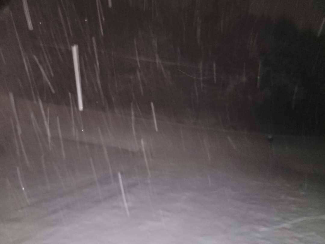
Was just going to say whiteout conditions for sure. -
2021-2022 Fall/Winter Mountains Thread
Met1985 replied to BlueRidgeFolklore's topic in Southeastern States
Yeah medium sized to large flakes and hammering. Another 6 to 8 inches would put me right at a foot... -
2021-2022 Fall/Winter Mountains Thread
Met1985 replied to BlueRidgeFolklore's topic in Southeastern States
-
2021-2022 Fall/Winter Mountains Thread
Met1985 replied to BlueRidgeFolklore's topic in Southeastern States
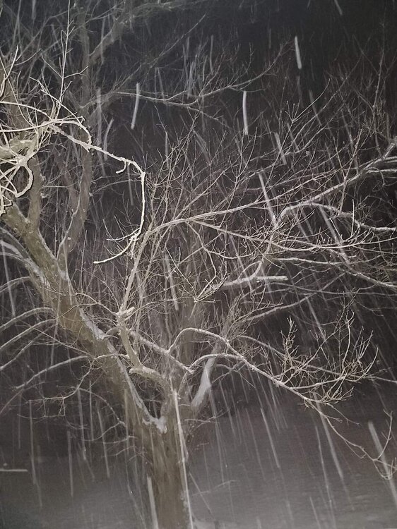
Hammering here as well. At 3 inches with the temp down to a cold 25 degrees. Snowing quarter sized flakes currently. -
2021-2022 Fall/Winter Mountains Thread
Met1985 replied to BlueRidgeFolklore's topic in Southeastern States
So it begins in Haywood. Light snow just started back up with a stiff wind. -
2021-2022 Fall/Winter Mountains Thread
Met1985 replied to BlueRidgeFolklore's topic in Southeastern States
Yep this is the main event. Good luck ol sport. -
2021-2022 Fall/Winter Mountains Thread
Met1985 replied to BlueRidgeFolklore's topic in Southeastern States
Ain't that the truth. After back to back stellar winters they did go into a snow drought. Kind of in one again... -
2021-2022 Fall/Winter Mountains Thread
Met1985 replied to BlueRidgeFolklore's topic in Southeastern States
Jordan good call brother. -
2021-2022 Fall/Winter Mountains Thread
Met1985 replied to BlueRidgeFolklore's topic in Southeastern States
Be narly tomorrow bro! -
2021-2022 Fall/Winter Mountains Thread
Met1985 replied to BlueRidgeFolklore's topic in Southeastern States
Not to jump ahead but the 18z GFS once again is advertising anothet storm in about a week with and some clipper systems with some very bitter air over the next week or two. Looks like a very active pattern setting up. -
2021-2022 Fall/Winter Mountains Thread
Met1985 replied to BlueRidgeFolklore's topic in Southeastern States
Hey guys when you post your obs, post were your located please. -
2021-2022 Fall/Winter Mountains Thread
Met1985 replied to BlueRidgeFolklore's topic in Southeastern States
That moisture plume coming from the southwest looks amazing. -
2021-2022 Fall/Winter Mountains Thread
Met1985 replied to BlueRidgeFolklore's topic in Southeastern States
Nice. Was wondering when you would chime in. -
2021-2022 Fall/Winter Mountains Thread
Met1985 replied to BlueRidgeFolklore's topic in Southeastern States
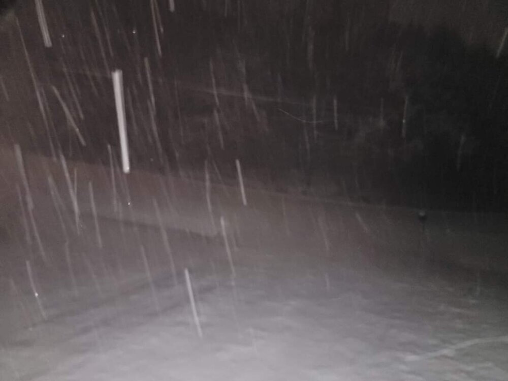
Radar is showing nothing but we have light to moderate snowfall. Anyone else seeing anything? -
2021-2022 Fall/Winter Mountains Thread
Met1985 replied to BlueRidgeFolklore's topic in Southeastern States
Just looked out and the porch is white with nickle size flakes moderately coming down. -
2021-2022 Fall/Winter Mountains Thread
Met1985 replied to BlueRidgeFolklore's topic in Southeastern States
Grilling a ribeye steak, with roasted red potatoes and Brussel sprouts with some sweet tea... -
2021-2022 Fall/Winter Mountains Thread
Met1985 replied to BlueRidgeFolklore's topic in Southeastern States
Temp and dewpoint are perfect currently. 32/25. -
2021-2022 Fall/Winter Mountains Thread
Met1985 replied to BlueRidgeFolklore's topic in Southeastern States
Ill say this remember the December we just came out of. Record high after record high. A record Christmas and non stop 70s and 60s. We are lucky to be in the position that we are in. Enjoy the weather whether it be snow, sleet, or freezing rain because we could still be 70 plus... -
2021-2022 Fall/Winter Mountains Thread
Met1985 replied to BlueRidgeFolklore's topic in Southeastern States
At least the storm looks great on radar. Nice healthy fetch from the gulf and that low is really going to wrap into a powerhouse. To me everything is a go. -
2021-2022 Fall/Winter Mountains Thread
Met1985 replied to BlueRidgeFolklore's topic in Southeastern States
Yep same here for the past few hours. -
2021-2022 Fall/Winter Mountains Thread
Met1985 replied to BlueRidgeFolklore's topic in Southeastern States
GSP have a wintery mix for most so apparently that is going to cut into the snow a lot. Whether is be 3 or 4 hours of sleet or freezing rain that will be a huge blow to snowfall totals. -
2021-2022 Fall/Winter Mountains Thread
Met1985 replied to BlueRidgeFolklore's topic in Southeastern States
Its nowcast time anyways. Enjoy the show.