FLweather
-
Posts
2,419 -
Joined
Content Type
Profiles
Blogs
Forums
American Weather
Media Demo
Store
Gallery
Everything posted by FLweather
-
What was the reason for him quitting Wral? Man he looks rough. Lost a fair amount of weight. Really don't look like himself.
-
Beautiful. Same here in my backyard. Some red bud trees already blooming. Of course though around this area stays green year round.
-
The December to Remember 7th-8th blue turd winter threat thread.
FLweather replied to lilj4425's topic in Southeastern States
Snowing in San Antonio TX atm per my cousin via FB -
The December to Remember 7th-8th blue turd winter threat thread.
FLweather replied to lilj4425's topic in Southeastern States
Cause this Nam Run basically keeps the surface front pinned up near and east of the mountains. In the foothills. -
The December to Remember 7th-8th blue turd winter threat thread.
FLweather replied to lilj4425's topic in Southeastern States
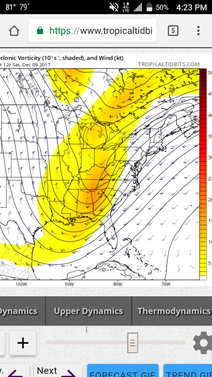
I agree looking at WV loop. That one Tiny piece of Shortwave energy diving southwest from CO to NM to AZ may help keep the energy more consolidated. Not ATM outwest shows a major wrapped up closed h5 from TX to NC. But maybe stronger in sense. Last few frames looks like its wetter maybe more NW push of moisture over TX and NM -
The December to Remember 7th-8th blue turd winter threat thread.
FLweather replied to lilj4425's topic in Southeastern States
I've been thinking this has the writing of a I65/I85 corridor special. What's up with the precip streak from central AL to SW NC? -
The December to Remember 7th-8th blue turd winter threat thread.
FLweather replied to lilj4425's topic in Southeastern States
Around 700 and 800mb? Nam was showing that yesterday on the soundings in Person County. Above and below cold enough. Other than warmish BL temps. -
The December to Remember 7th-8th blue turd winter threat thread.
FLweather replied to lilj4425's topic in Southeastern States
That one big storm in Jan 2010. Got roughly 8-10" can't remember. But during the height of the storm that was mostly pingers. Trust me. If RDU has mix issues so does Roxboro. Just takes less time to recover from it -
The December to Remember 7th-8th blue turd winter threat thread.
FLweather replied to lilj4425's topic in Southeastern States
Robert throwing out his first guess map too for his members. Interesting though he mentioned maybe time to throw out global models for such small scale system. Guess he talking about short range/medium range models. -
The December to Remember 7th-8th blue turd winter threat thread.
FLweather replied to lilj4425's topic in Southeastern States
Not all of that is frozen. Alot of that falls as rain. But to continue the Jma. H5 slightly negative.
-
The December to Remember 7th-8th blue turd winter threat thread.
FLweather replied to lilj4425's topic in Southeastern States
The is no warm nose. Issue is marginal BL temps. The lowest 1500 feet or so. Above that all the data if seen supports snow. It's either gonna rain or snow. -
The December to Remember 7th-8th blue turd winter threat thread.
FLweather replied to lilj4425's topic in Southeastern States
I thought of that storm too. I think I know what you talking about. Charlotte area had thundersnow -
The December to Remember 7th-8th blue turd winter threat thread.
FLweather replied to lilj4425's topic in Southeastern States
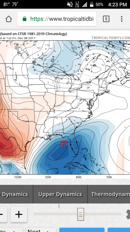
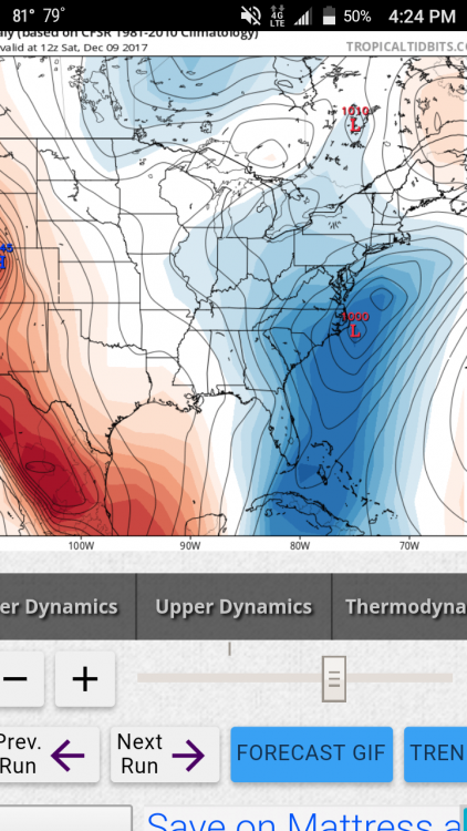
With the EPS ensembles included? Imo this showing a early season I85/I65 special. -
The December to Remember 7th-8th blue turd winter threat thread.
FLweather replied to lilj4425's topic in Southeastern States
Lee side trough showing up. Lee side snow shadow and enhancement in precip probably. From Charlotte to GSO/WS east with the enhancement of lift!? Not the first run of GFS being east and showing a Lee side trough.