

Amped
-
Posts
13,678 -
Joined
-
Last visited
Content Type
Profiles
Blogs
Forums
American Weather
Media Demo
Store
Gallery
Posts posted by Amped
-
-
I'd much rather be a person in NJ who didn't evacuate for sandy than a person in Ft Myers that didn't evacuate for Ian.
They're probably dropping like flys as we speak.
-
2 minutes ago, CoastalWx said:
Still on the "weaker part" of eyewall.
The storm surge started but the tsunami hasn't hit yet.
-
Took a little jog back north.. Looks like it will end up close to the forecast, which is unfortunate for many.
-
 1
1
-
-
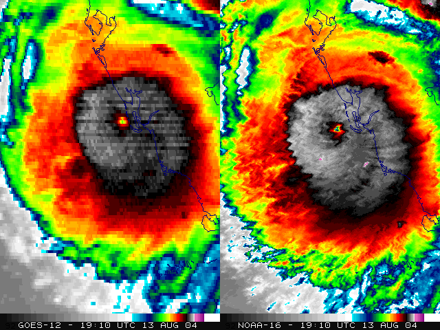
Eye finally clearing for real
-
That would be the most damaging surge since Katrina.
-
Got 4-6 hours until the outer eyewall starts to clip sanibel island. Center makes landfall between 18 and 21z.
-
 1
1
-
-
Just now, ice1972 said:
Are the wind velocity radar products measuring speed component away/toward the radar site?
The radar sites are pretty far away so only measuring winds well aloft. This also means there's no NWS radar site to wreck for once.
-
3
-
-
T7.2 if anyone cares. Same as Micheal.
-
4
-
-
Windshear is fired
-
Environmental pressure is running a bit high, so this is getting close to Hugo.
A major at landfall looking likely at this point, unless it stalls just offshore while shear eats it alive.
-
1
-
 1
1
-
-
Extrap down to 942 SFMR around 107kt, that's on the NW side of the eye.
-
1
-
1
-
-
15 minutes ago, KoalaBeer said:
Huh? At least Camille went over western Cuba but the track similarities end there. Not many good analogs to go off of here in modern record keeping.


In LA and MS where they made landfall it was a pretty similar track.
-
1 minute ago, WxSynopsisDavid said:
Eye has contracted and is tightening up. Deep convection firing in the N/NE eyewall right now. At 2:00am the eye was over 30mi wide. Now at 3:25am the eye is about 22-23mi wide.
Bound to have been some RI due to conservation of angular momentum.
-
29 minutes ago, Floydbuster said:
Channeling Charley 2004...but much larger.
A good analog would be Katrina/Camille both took very similar tracks and had some different impacts due to the size difference.
-
 1
1
-
 3
3
-
-
1 minute ago, 40/70 Benchmark said:
I agree its questionable whether the winds will ramp up much, but I don't think it really matters, unfortunately. That surge is going to be devastating. The wobble north may be good news for Fort Myers, anyway.
The winds definitely ramped up based on radar presentation. Probably can confirm higher velocities on radar scope compared to 2 hrs ago. Clearly making a run at cat4 with a large eye
-
Definitely in beast mode now. IR is going to take a while to catch up to radar.
-
Not sure what recons doing. Flying north against the wind. That's not the way back to the eye.
-
When will people learn a watched EWRC never completes.
-
 2
2
-
-
Euro is slightly further NE than 18z through 24. Safe to say it wasn't a hiccup.
-
15 minutes ago, Nibor said:

Requesting an additional 6hrs over water before land interaction.
-
GFS keeps Tampa out of the storm surge but dumps 35" of rain.

-
1
-
1
-
-
GFS looks SE with the storm and troff axis through 18hrs.
-
1
-
-
Just now, WinterWolf said:
Oh yes, for sure. Was just commenting on how the icon was going up the east coast…and the 18z Euro was heading that way too. But it could just be the 18z nonsense?
There will always be hiccup run cycles. Sometimes it's 12 or 0z
-
1
-
-
Give it another run cycle or two before buying the east shift.
-
10
-
1
-

Hurricane Ian
in Tropical Headquarters
Posted
Offshore side winning?