BullCityWx
-
Posts
8,924 -
Joined
-
Last visited
Content Type
Profiles
Blogs
Forums
American Weather
Media Demo
Store
Gallery
Everything posted by BullCityWx
-
Yep. 0z UKMET actually had something too.
-
In the old days, the wright weather days, you would've been banned for behaving like several people have behaved. We are, at a minimum, five days out. For anyone to believe we've reached our final destination with regards to this event is just silly.
-

-
Many of you would've been banned in the old days.
-
Can we keep the shitposting to the whining thread? If you're in your feelings about this might not being a Raleigh threat, I cant help that.
- 450 replies
-
- 18
-

-
-
The wedge on the ICON extends to Anniston, AL. Freeing rain almost to the Charleston peninsula.
-
My guess is sleet with the conditions present
-
The icon just dropped a lot of...freezing rain or sleet I’m just not sure.
-
ICON actually moved south with the storm on Saturday, fringing the triangle with precip.
-
Yes, those maps are why kuchera maps were invented.
-
Ha, I watch Mike Maze on WRAL and he had forecasted and expected clouds to hang in. You could tell he was beaming about the clouds moving out quicker.
-
It got really close. A degree or two and most of NC is in it.
-
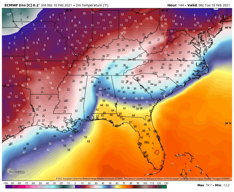
The reason why that is important is our 925MB temps are solidly below freezing. That could be the difference between mostly sleet and a good bit of freezing rain.
-
I didn’t even really notice this at 18z but that 850 line is so close I can practically see it.

-
One more trend like this and the northern tier of triad and triangle counties are going to be in the snow.
-
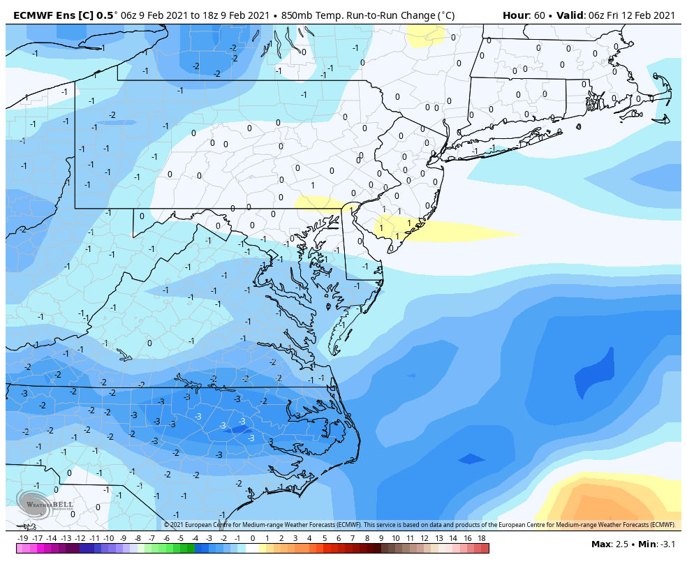
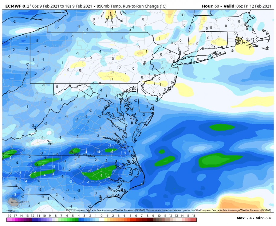
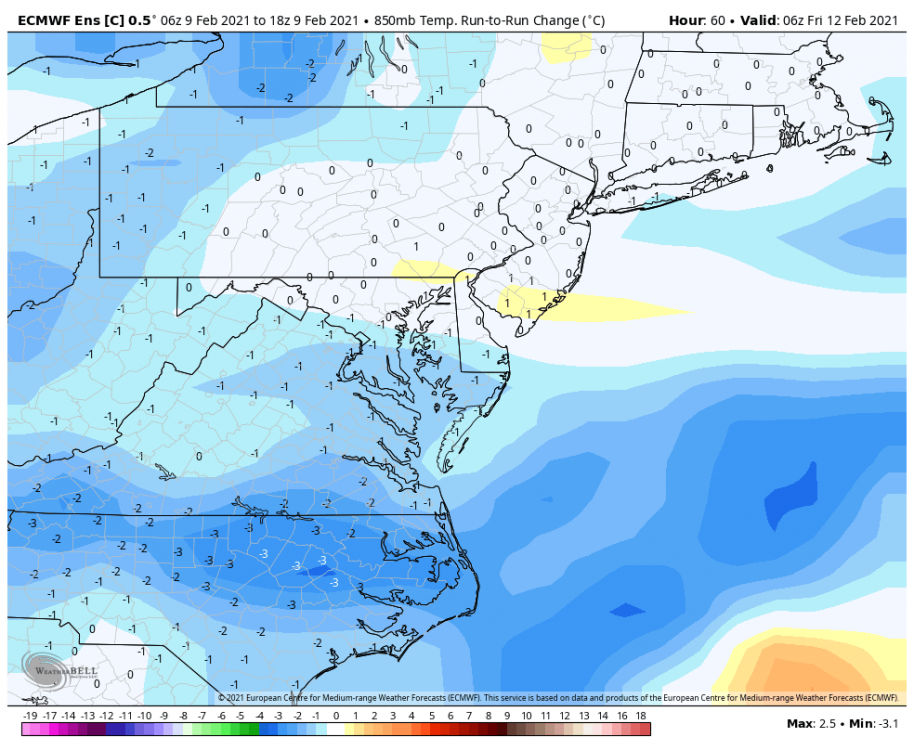
The euro control continued the colder trend for Friday with the 850 line almost laying exactly across the border. If you take TDF for example, the 850 line started close to Richmond. TDF was at +4C at 6z.
-
You can write a new book about how you seemingly get more snow than I do in every storm we’ve tracked together over the last 20 years. Not that I’m bitter or anything.
-

-
Actually 925 temps might mean that is sleet instead of ZR.
-
Round two incoming as well.
-
Wrong storm. There’s a thread for the weekend event.
-
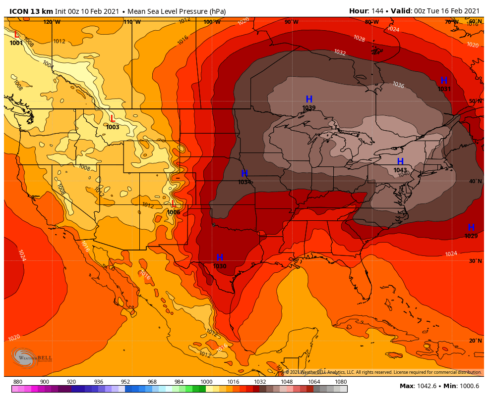
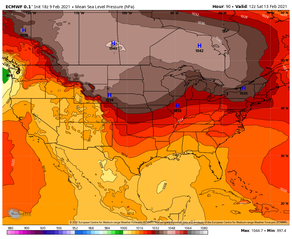
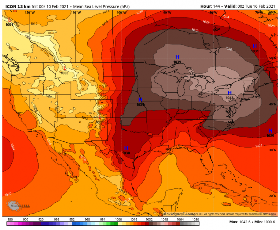
The 1034 MB high over NYS isn’t optimal?
-


-
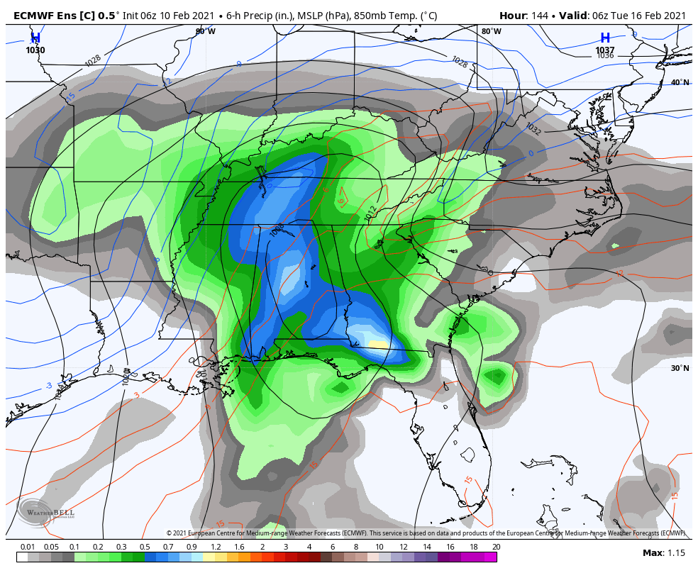
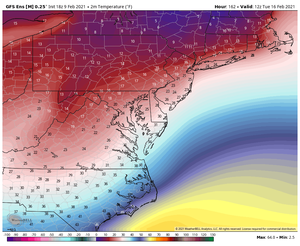
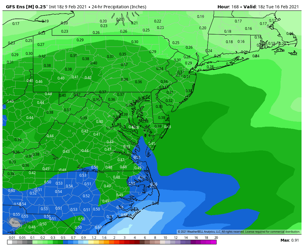
18z GEFS mean has a significant ice storm Tuesday.