BullCityWx
-
Posts
8,924 -
Joined
-
Last visited
Content Type
Profiles
Blogs
Forums
American Weather
Media Demo
Store
Gallery
Everything posted by BullCityWx
-
Been doing this since the winter of 2000. I can assure absolutely everybody that this is exactly what we want to see right now.
-
ICON seems to be out on its own island.
-
I'm really interested in how the FV3 does this event because it's been routing the actual GFS for some time now.
-
I dont think EPS backed off so much as the OP wasnt skewing the results.
-
I remember Eric Thomas was talking about a major event almost 6 days out.
-
2/2004, 3/2009 come to mind. Those were different situations though.
-

Southeast Sanitarium - A Place to Vent
BullCityWx replied to Jonathan's topic in Southeastern States
and you'd only know it was all the way for real if the NGM showed it. -
Southeast Sanitarium - A Place to Vent
BullCityWx replied to Jonathan's topic in Southeastern States
and you'd get run off for posting 10 day model images. RDale would've had our head. -
Southeast Sanitarium - A Place to Vent
BullCityWx replied to Jonathan's topic in Southeastern States
I think my issue with every storm getting a storm thread, it would make searching impossible and bury shit we might want to revisit. -
It sorta reminds me of seeing a storm getting captured at the benchmark in New England.
-
Damn near takes the snow line on the back side to New Orleans.
-
Also, it's a damn good run when your KUCHERA number matches your raw data number.
-
Kuchera maps showing a max of 22.5" in person county. Foot totals from Charlotte to Concord. Foot and a half from GSO to Durham/Chapel Hill.
-
This thing is just gonna snow itself out like a stalled summer time thunderstorm.
-
Still snowing across most of the state west of 95 at 180.
-
174 the focus of the heaviest snow is in the NC Sandhills, looks like it stops almost exactly on the border.
-
162 looks like decent snow north of the NC/SC border. 168 looks like +SN for Charlotte, Greensboro, Raleigh.
-
Looks like 150 is well within noise range, maybe 35-40 miles north of 12z. I am assuming we'll see a similar result.
-
Was just about to post that. I certainly want to see faster movement this time.
-
Thx. I'll take what it's showing in that case.
-
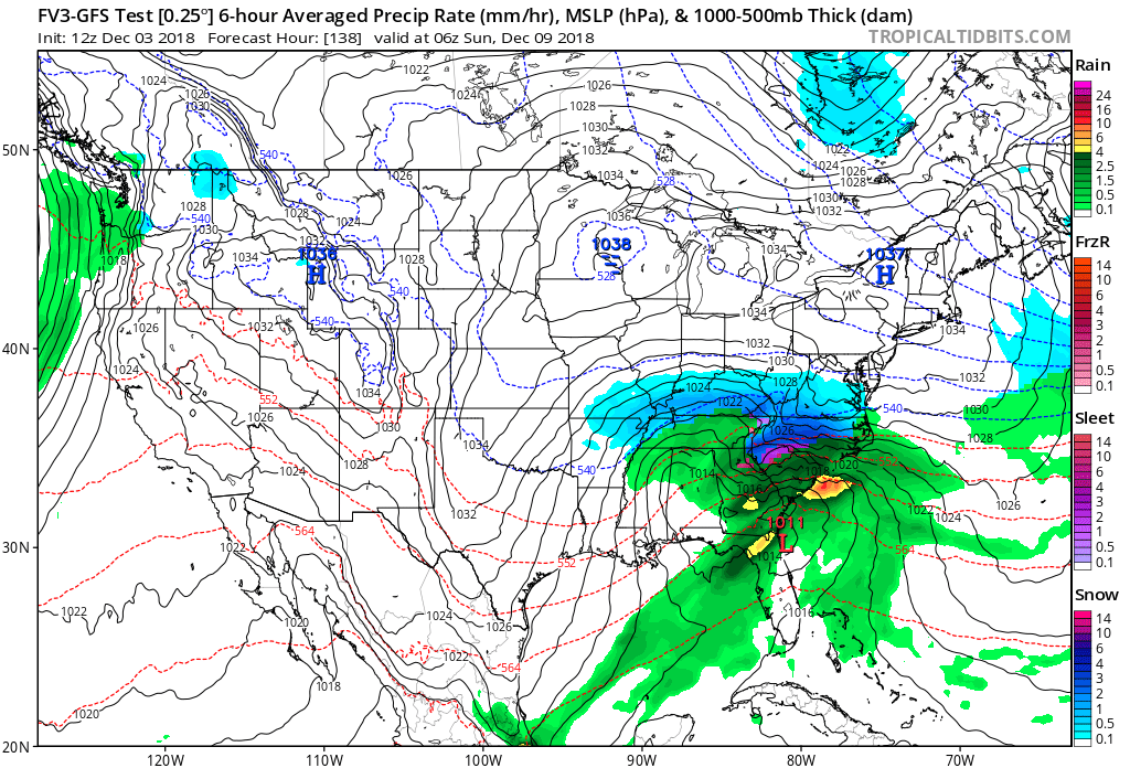
Is that Ukie image a 24 hour precip fxcast?
-
Actually it's a 20" snowstorm from greenville up to almost charlotte.
-
12z Euro. 24" at Spartanburg at 192.
-
Wow, there's some 20" totals across the northern upstate on the kuchera maps.