

Radtechwxman
-
Posts
2,327 -
Joined
-
Last visited
Content Type
Profiles
Blogs
Forums
American Weather
Media Demo
Store
Gallery
Posts posted by Radtechwxman
-
-
I would be very content with 12z gfs
-
5 minutes ago, Frog Town said:
At this point I'd even take a couple inches. I just don't want frozen tundra for the foreseeable future...
You and me both. I hate dry and cold. Would like a nice snowpack to look at.
-
6 minutes ago, Eaglesrck63 said:
Definitely shift north from Icon
.thumb.png.02e01b0be16342145497e175a9bc6def.png)
God I wish. Lol. When was last time icon was right?
-
47 minutes ago, Chambana said:
Trends look good here for a significant hit, however a north nudge about 20-30 miles would have me feeling better. Either way should be a 6-8” hit here.
You and me both. You're sitting pretty good. I72 corridor going to get a good hit. Cutoff near I74 is brutal. If it shifts south at all I may get nothing. 12z nam is brutal.
-
Definitely don't like where I'm sitting with this one. Too close to northern gradient. If it comes in weaker and south it's game over. But any north push will be very beneficial. Have a feeling north trends from yesterday will be back to weak and south today. System gets sampled tomorrow so hoping that helps models
-
2 minutes ago, sbnwx85 said:
00z Euro goes back to reality. Looking similar to 12z. Time for bed.
That cutoff on north end is BRUTAL. That high strength and position will be critical
-
39 minutes ago, sbnwx85 said:
The monster totals along I-70 would be lower since quite a bit of that is sleet mixing in.
Yeah definitely getting skewed on kuchera maps esp with mixed precip totals
-
0z gfs an improvement over 18z for high placement and strength. Allows precip shield to get more north. Not as good as euro yet but baby steps
")
-
 1
1
-
-
2 minutes ago, sbnwx85 said:
I don’t wanna waste the bandwidth but the ICON came north. Pretty much in line with the 18z Euro.
Ride or die with icon
-
1
-
 1
1
-
-
4 minutes ago, Malacka11 said:
Can someone pretty please explain to me what our expectations should be like regarding wind with this system? My understanding is limited essentially to "bigger pressure gradient = more wind" but I got no idea about the nuances.
Not a blizzard by any means but definitely going to see some brisk winds in the deformation band. Pretty tight isobars between that 1040 high and around 1000mb low.
-
2
-
-
That 18z gfs run was brutal. Going to be a long few days of back and forth. That sfc high needs to chill. Pun intended. 18z gefs rolling out now with decent amount of north tracks
-
 1
1
-
-
Pretty good bump north with sfc low on 18z euro but snow band didn't get much more north. Brutal cutoff
-
3 minutes ago, ILSNOW said:
Definitely some north members but most seem to be south
-
Anyone know what euro ensembles are showing?
-
Man if Euro was a smidge more north I could really cash in. So close. This is brutal
-
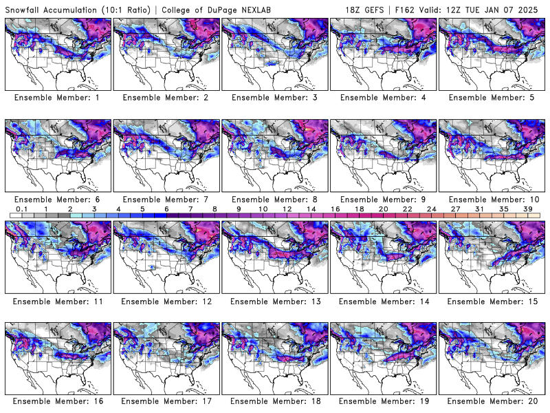
I wish GDPS could be right. Nice spread the wealth event.
-
1
-
-
21 minutes ago, Chicago Storm said:
There’s been a big shift in the evolution of things aloft on most guidance over the past day or so. Gone is the several piece phasing across Canada down into the US, and it has been replaced by a far less phased gyre of a wave, which tracks more W-E across the Western and Central US, before running into a wall and rapidly shearing out.
That’s the main reason you’re seeing a shift towards a weaker, earlier sheared, and further south tracking storm system.
The thread is splitting when trying to thread the eye of the needle, and the current trends are not optimal.Agreed. So much confluence east. Not optimal upper air pattern at all for a more wound up north storm. Crazy we may get another cold stretch with little to no snow.
-
1
-
-
Well 12z gfs is a lot more south. Getting a strong vibe this will be I72 south and maybe even I70 south. Cold and dry sucks. Maybe can get some clippers out of this pattern.
-
29 minutes ago, cyclone77 said:
Hoping for a high ratio overachiever on the north side.
You and I both. Or maybe a nudge north. Lol
-
Definitely not liking the trends at the moment for this one. Getting that look and feeling of a miss south. Would be a real bummer to just have another cold,dry stretch with no snow.
-
1 minute ago, sbnwx85 said:
For anyone still following the now-Monday storm, the 00z GFS says congrats Kentucky.
It's sfc low placement was odd given where trough axis was. Very strange run. It did hit a lot of confluence east. A south trend wouldn't surprise me with depth of cold air but hoping it can be more north like euro.
-
After the weekend winter storm potential probably will be mostly a clipper pattern in that persistent nw flow. Hoping the weekend storm pans out nearby cuz this has been a snooze season so far.
-
1
-
1
-
1
-
-
125mph 950mb as of latest update
-
 2
2
-
-
Just now, wxeyeNH said:
How much of this is real vs the center moving closer into radar views?
Maybe a little of both. But IR appearance is improving and lightning has upticked.
.png.721842a2106d751f27b39f8717c4e976.png)
January 4-6th Winter Storm
in Lakes/Ohio Valley
Posted
In Peoria here as well! I share your same concerns. We are sitting uncomfortably close to that northern gradient. Any south shift and we may see little to no accumulation. Nam seems to be an outlier for now on south placement and it's also its long range so I wouldn't fully trust it. However, it can sniff things out sometimes so definitely uneasy.