-
Posts
2,099 -
Joined
-
Last visited
Content Type
Profiles
Blogs
Forums
American Weather
Media Demo
Store
Gallery
Posts posted by Radtechwxman
-
-
-
Euro so close to having me in better accumulations. I'm like riding the mixing line. Definitely going to miss the heaviest swath but would be nice to get high end advisory snow or low end warning criteria at least.
-
I guess only good thing is my expectations are rock bottom now so anything at this point will seem like a win. Lol
-
 1
1
-
-
Hard to ignore gfs consistency. But wish it had some support for higher snow totals further south.
-
2 minutes ago, Frog Town said:
I was only kidding. I'm still in the bargaining stage of my grief.
You and me both. Still holding a sliver of hope for maybe a front end thump and some decent back end snows. But unfortunately rain in between looks very likely.
-
1 minute ago, Frog Town said:
I think the 0z Euro will be the beginning of a SE trend, u can also feel it in the air..
I like your optimism but I'm highly skeptical unfortunately
-
4 minutes ago, Stevo6899 said:
Dtw crew would take the 18z rgem and run. Not as wound up and east.
I would love that as well. Grasping for straws here. Ha
-
 1
1
-
-
-
Well this is depressing. Lol. I can't say I was expecting mostly a rainer from this one. Congrats Chicago peeps....
-
2 minutes ago, mjwise said:
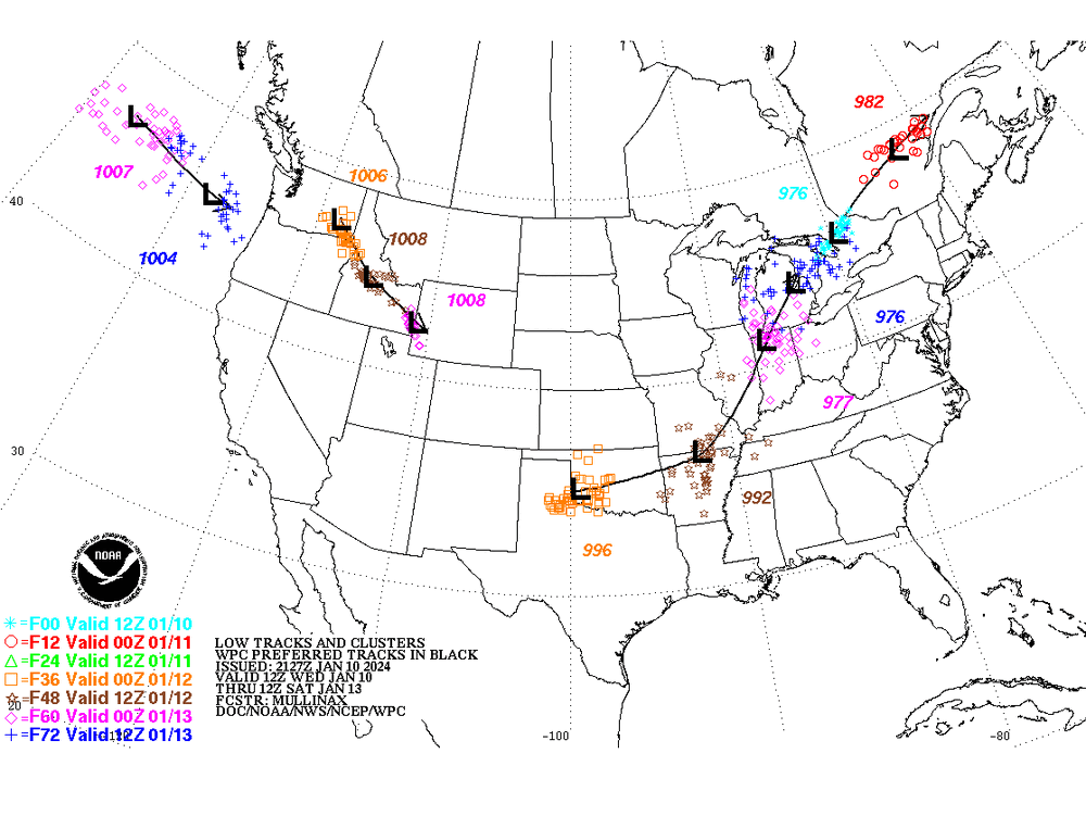
Only about a 350 mile movement on the slp location versus the 12z run, where it was making for Wisconsin via Dubuque when the run ended...
Hrrr and nam on the same drugs apparently
-
2 minutes ago, CheeselandSkies said:
That 18Z HRRR gives some parts of southern WI and far northern IL nearly 1" in an hour toward the end of the run with the snow far from over. Sorry, south of I-80 (possibly even I-88) folks.
If you're trusting hrrr at this range the joke will be on you. Lol. It did terrible at this range with previous system.
-
5 minutes ago, A-L-E-K said:
getting a low 907s bomb into your sweet spot in mid january and getting a rainer would be an all-time L
we deserve better
Guessing you meant 970s bomb. Lol. 907s and rain would really be something in Jan. Ha
-
 1
1
-
-
18z hrrr real special. Explosive deepening and says hello rain for a good chunk of us
-
5 minutes ago, Stebo said:
LLJ going to win out, I would lean warmer and we have seen warmer yesterday. The only saving grace to the north and east could be a quicker occlusion but beyond that the warmth along and east of the low track should win out.
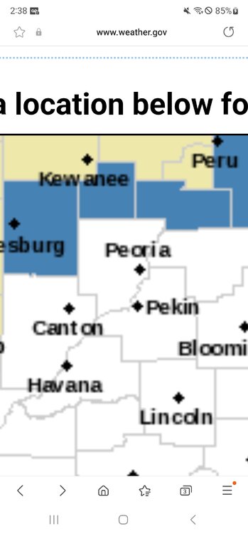
I'm north of the Peoria metro area. Seem to start as snow Thurs night then mix into afternoon Fri and changeover to snow on back end of deformation zone. It has mixing line close to river again. Could be close call here. Team gfs. Ha
-
For whatever reason gfs seems to be only model keeping thermals under check here but everything else is a blast furnace. I truly hate El Nino winters. Lol
-
This one is starting to look like a dud here. Still crazy how this one tracks further south than first storm and I end up with less snow and more rain. This system seems to really pull up a big slug of warm air compared to the other. Hoping it can trend cooler aloft as we get closer but not hopeful.
-
5 minutes ago, SchaumburgStormer said:
Crazy how close we are to event and still so much spread. Was thinking sampling this morning would be helpful for models. I was wrong. Lol. I'm not sure what to expect.
-
 1
1
-
-
GEFS seems pretty north
-
12z gfs takes a very similar track to what the prior storm just did. Not quite as aggressive with warm surge as other models.
-
LOL at 12z nam. How bout a deformation zone of rain. I think nam may be out to lunch. Just a hunch.
-
Man the warm nose with this is BRUTAL. The low actually looks to potentially track more se than last one but still showing a lot of precip type issues because of that warm nose. Of course we couldn't get the arctic air in time for this. I'm actually a bit more nervous with this one versus last. Hoping we can see a correction se like with yesterday's storm last second. Same areas that just scored big may do it again with this one. I really hate El Nino winters.
-
7 minutes ago, HillsdaleMIWeather said:
With the snowpack and airmass the warm air issues on the NAM and Euro both seem just odd
I thought the same thing. But GFS does it to. But not as long as nam and euro. Just seems crazy to get that north of a warm slug with where the sfc low is tracking. It's south of where current storm is.
-
Euro doing that same big warm surge at 850mb. Man I really didn't think I would have any precip type issues with this one. Hoping that can calm some on future runs.
-
GFS is back! Start playing THE BOYS ARE BACK IN TOWN!
-
 1
1
-


Jan 11-13th Blizzard
in Lakes/Ohio Valley
Posted
I certainly had higher hopes for this pattern but should have known the feet of snow was too good to be true. Ha.