cyclone77
-
Posts
18,712 -
Joined
-
Last visited
Content Type
Profiles
Blogs
Forums
American Weather
Media Demo
Store
Gallery
Everything posted by cyclone77
-

Did Someone Say Clipper(Hybrid)!?! 1/18-1/19
cyclone77 replied to Frog Town's topic in Lakes/Ohio Valley
Most of the guidance gives this area 0.10-0.15" of precip. Should fluff that up to 1.5-2.5" of snow. -
We have a shot at -20 to -25 here Sunday morning. Some of the favored low/cold spots west of Chicago as well. High pressure ridge will be passing through the area at nearly perfect time for optimal cooling, something we actually didn't have earlier this week. Interestingly, just 24hrs later temps could be over 40 degrees warmer in these same areas as intense WAA takes over just after the ridge passes by.
-
Temp only got down to 15 here this morning, about 35 degrees warmer than a few days ago. Wind chills 45 degrees warmer. Perfect icicle making weather with lots of sun and temps in the teens. Gonna be some giant daggers by the end of the day from many a gutter around the neighborhood.
-
Looks like a fresh layer of fluffy snow tomorrow night around an inch or so, and then we start to lose snowpack next week.
-
Did Someone Say Clipper(Hybrid)!?! 1/18-1/19
cyclone77 replied to Frog Town's topic in Lakes/Ohio Valley
Pretty nice not to have to worry about mixing or low ratios for all areas with these waves. -
80.5hrs, you added a day lol. Didn't go below zero till Sat eve the 13th. Very impressive nonetheless!
-
60+ hour below zero streak ended this afternoon as expected. Made it to +2. Back down below zero again now though.
-
Temp rose to -2 this evening with a little thermal ridge passing through. Heading back down now though. Below zero streak now at 51 hours. Looks like we'll make it to above zero by midday tomorrow though so streak will end around the 64 hour mark.
-
The longevity of the below zero streak is pretty impressive for some areas. Not record breaking but still pretty rough. Today was the opposite of yesterday when temps underachieved, today was expected to only make -6 or so, but have made it to -4 with temps still slowly rising.
-
Winter 2023/24 Medium/Long Range Discussion
cyclone77 replied to Chicago Storm's topic in Lakes/Ohio Valley
1-3" swath of snow looking likely Thu night through Friday across a decent swath from Iowa/Missouri to IN/OH. -
Yeah it's hard to believe it's only been about 4.5 months since the 123 degree heat index day (Aug 23).
-
Only made it to -9 this afternoon, even colder than expected. Daily high will by -8 though which occurred just after midnight. Back down to -13 already. -20 or colder looks like a lock for tonight.
-
Another 0.5" yesterday and overnight, which brings us to 19.9" in the past 6 days. Last season the whole seasonal total was a bit over 22", so we've nearly matched that in just 6 days lol. MLI has had nearly 26" in the past 6 days. Officially 16" OTG there and also at DVN. Prob 14 inches or so here.
-
-16 here with a wind chill of -43. Should warm back up to a balmy -5 this afternoon.
-
Just dipped below zero to -1. Looks like we won't be back above zero until maybe Tue afternoon briefly.
-
Near white-out right now with heavy snow and strong winds with this mini wave of snow. Would not want to be traveling anywhere right now.
-
-13 tonight, -20 Mon morning, and -17 Tue morning here. Gonna be a brutal stretch.
-
Final storm totals, MLI 15.4", DVN 14.9", and another 0.3" after midnight for 14.1" here. I believe MLI made it to 2nd place for highest daily snowfall total.
-
One last final burst of better rates here on the back side. Man, what a storm. Had pretty low expectations after last system's shenanigans. Knew the front end thump would be okay, but what followed that was questionable. Residual backside stuff gave us another 0.8" this evening to bring us to 13.8". Biggest dump since GHD2.
-
Wow, -70 wind chills? That'd be like -100 on the old wind chill calculation lol. Wow.
-
Last double digit snowfall was Nov 2018 which gave us around a foot IIRC.
-
13 on the nose here. Thought it was mostly over but a little batch moving in now.
-
Luckily a decent amount of snow is breaking off the outer branches on the trees now that the wind has kicked up a bit. Glad the high winds that are coming in later aren't coming in too abruptly.
-
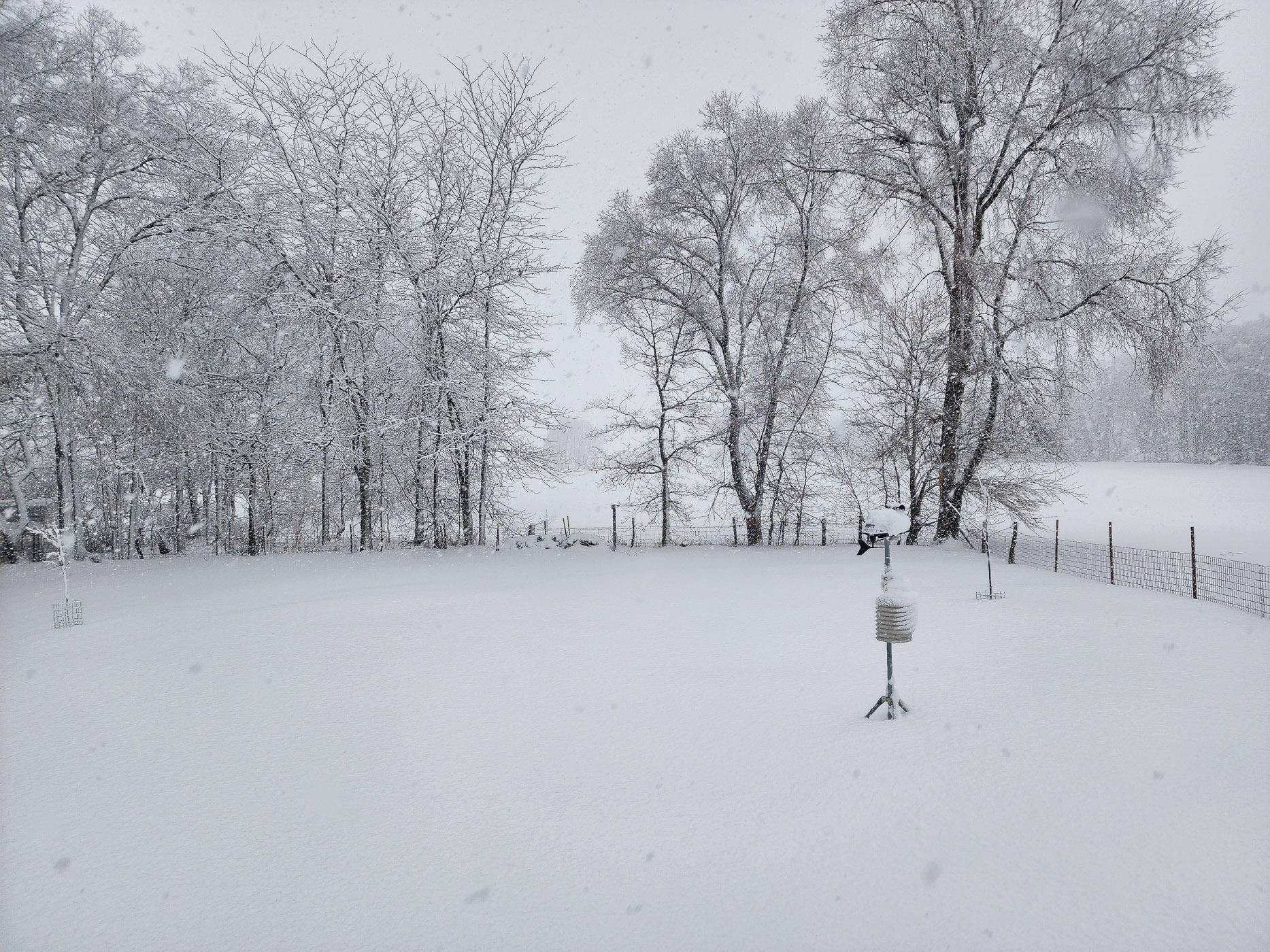
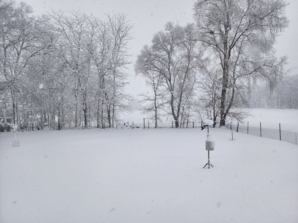
Quick pic out back window
-
11.3" so far here as of a bit ago. Snow continues...