

dta1984
-
Posts
1,777 -
Joined
-
Last visited
Content Type
Profiles
Blogs
Forums
American Weather
Media Demo
Store
Gallery
Everything posted by dta1984
-
Ya after mid 50s and sun this upcoming weekend I'm sure spring fever will really be kicking.
-
Looks like some lake effect tomorrow into Thursday. Quick look at hi res nam and maybe .3 qpf . After that it's a good week or so of 50s.
-
Just noticed the nw pa counties are under a ws watch. So close!
-
An additional inch fell throughout the day making the total 2.5".
-
Congrats! There has been some intense radar returns in that band the past several hours.
-
Ya forgot about that one, I did record 6". 1.5" overnight, looks like winter again for a few days at least.
-
I'll have to look that up, but if we could get 2" that may be the largest synoptic snow of the season lol. What a year. It's different from years past when this area felt like a synoptic snow hole...I think most Midwest areas are way below normal this year.
-
Ya I've definitely been noticing the melting from underneath as well. Surprised we didn't lose more snow today, but with tomorrow's near 60 and rain....it'll all be gone. This Thursday system is kind of trending a little north. Might be a low impact event.
-
Ended up with .75" throughout the day. The lake looks ice free, but we need some cold air! Maybe end of next week? What a winter lol.
-
Persistent area of light lake effect most of the morning. May stat pad another inch .
-
Sitting at 45.5" for the season here. Really made up some ground the past week. The past 3 February's have produced 30"+ of snow..... so we'll see how this one pans out. Even if things don't look ideal, a few big lake effect events can sneak up.
-
Running total for today's event at 3.75". Above freezing and a little rain mixing in now.
-
No problem, deal! Ya definitely, we should do a meet up. 2.75" so far this morning
-
Saved this precip est map. Shows hardest hit areas...shaker, beachwood, chagrin.
-
Fri am 1.5 Sat am .5 Sun am .75 Sun pm 4.25 Mon noon 9.5 Total 16.5"
-
Haha! It was definitely a fun event. Pretty good spread the wealth too of 10"+ I imagine. Little more snow tonight looks like. Winter trying to make a comeback.
-
9" here overnight. One of the better storms we have had in a while. Event total since thurs running at 16". NEOH. ...I was kidding about our bullseye with you being out of town....but maybe there's something to it?? Haha
-
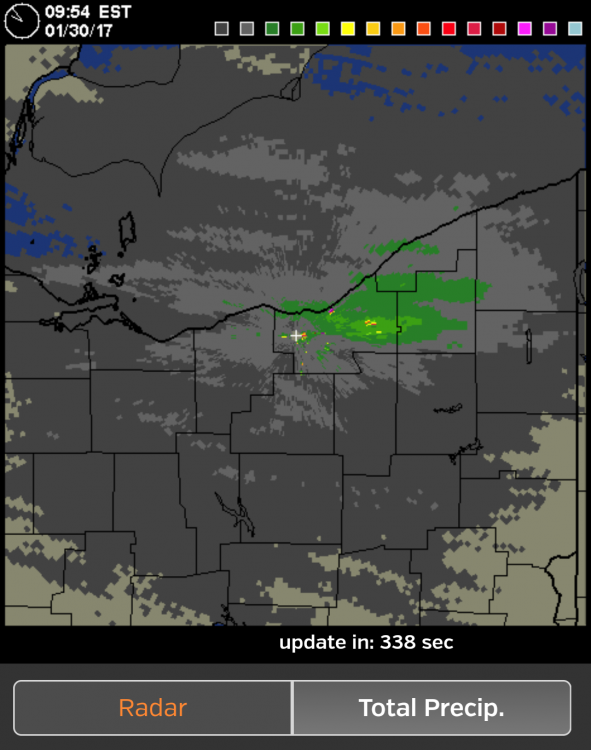
271 webcams show white out, there's 35-40 dbz returns in that band. That'll drop a few inches in a hurry.
-
Ya heavy snow and large dendrites....Haven't seen that in a while. It's a winter wonderland out there Additional 1.25 since last measurement. 4.25 for the day.
-
3" new since this morning. Big flakes and great rates earlier.
-
Nice smaller w-e band running from central Cuyahoga then out this way. Big flakes!
-
And there it is....les advisory for cuy Geauga and lake for 2-4 additional. Snowing nicely here, but the band has become disorganized.
-
Had 3/4" between yesterday evening and now. The band that developed raced through here. Light snow currently. Maybe more trying to develop over the lake.
-
Special ws from cle mentions freezing drizzle. While out driving I did notice a few sleet or ice balls hitting the windshield. Steady light snow, looks to continue for a while. Only an inch in forecast from cle, we'll see..
-
My event total is at 2" so far. Hopefully tonight into tomorrow work out! Looks like chances for snow into thurs at least.
