dta1984
-
Posts
1,768 -
Joined
-
Last visited
Content Type
Profiles
Blogs
Forums
American Weather
Media Demo
Store
Gallery
Everything posted by dta1984
-
Definitely a disappointing start to the snow season. Appears to be another quiet week, and then who knows. The good news is we can make up ground quickly with lake effect if ice cover is minimal.
-
Right around 5.75" appears to be what I'll finish December with. Ugly. Hopefully the next few warm days will help lake temps at least.
-
1.75" of paste. Must have been lake effect, as the radar looked pretty empty last night.
-
I like our range on the probability page.... 0-6" lol. https://www.weather.gov/cle/winter It seems we have had a few surprises with changeovers before, but more often than not they under deliver.
-
Interested to see what happens tomorrow night. Nam was very generous last night with the snow. This morning did back off, but still a few inches in the higher elevations. Nickel and diming...
-
Nice! Ya need to get the cold air pulled in. How did the overnight euro look?
-
I'm glad the end of week temps and into the weekend have trended warmer into the 40s. Looks like next weekend is our next chance at snow. So much for that epic fantasy storm lol. We'll hit on one sometime.
-
I measured 2.5" last night once the snow stopped. Small flake size early on didn't accumulate much. Light snow currently.
-
Small flake size so far. The band with the cold front looks intense!
-
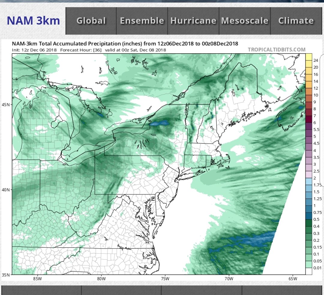
Fantasy storm looks to be gone. Nam 3k looks good

-
O man that's a doozy! Let's revisit that mid next week and see where it is lol.
-
Wow incredible! Cle has 4-6" in the forecast for today and tonight. Seems a little ambitious, we are due though.
-
Neat meso low feature near lake county this morning. Nam still shows 3-4" tomorrow.
-
About a half inch overnight. Maybe an inch in Chardon. Looks like the Thurs-fri timeframe could be our next shot. Nam wants to bring .4" + qpf our way.
-
Ya, the band was in a good location, just not very organized. On the flip side, if you look at the past few winters, we are quite a bit ahead in snowfall. I'm a little over 10", which is doing good for November. We will get some warm weather to slow down the lake freeze. Seems like a few of our bigger events last year came from heat flux from the frozen lake or seeding from other lakes.
-
12z arws do bring roughly .5" qpf this way. Aligns with the wwa for 4-7".
-
4.75 here, definitely a heavier low ratio snow. I could be wrong, but pretty sure the lake effect is this evening and overnight through tomorrow. Last night was more lake enhanced. Let's hope the lake effect can deliver later.
-
Ya, so am I. Short range models continue to look good from about chagrin then north east.
-
Nam and short range models looking good. Cle snow maps show 12-18 in most of the snowbelt and eastern Cuyahoga. https://www.weather.gov/cle/winter
-
Ya, it's certainly been a nickel and dime snowfall month. Next week looks to have some prospects.
-
1.75" new snow on the deck when I got home. November total a bit over 6" so far. The most since winter of 14-15.
-
Another snowy morning. Might pick up another inch or so today it looks like. I'll have to look back, but this is looking to be one of the snowier November's in at least a few years.
-
Just got home from being out of town for the weekend and have 1.5" new snow on the deck. All rain and grass until 422 , 271 areas.
-
Just glancing outside, maybe 1" of snow. Definitely seems the models were having trouble with the sleet and freezing rain that fell today.
-
Seeing some snow reports around Columbus and out west.... definitely encouraging