
PrinceFrederickWx
-
Posts
5,207 -
Joined
-
Last visited
Content Type
Profiles
Blogs
Forums
American Weather
Media Demo
Store
Gallery
Everything posted by PrinceFrederickWx
-

Southern MD / Lower Eastern Shore weather discussion
PrinceFrederickWx replied to PrinceFrederickWx's topic in Mid Atlantic
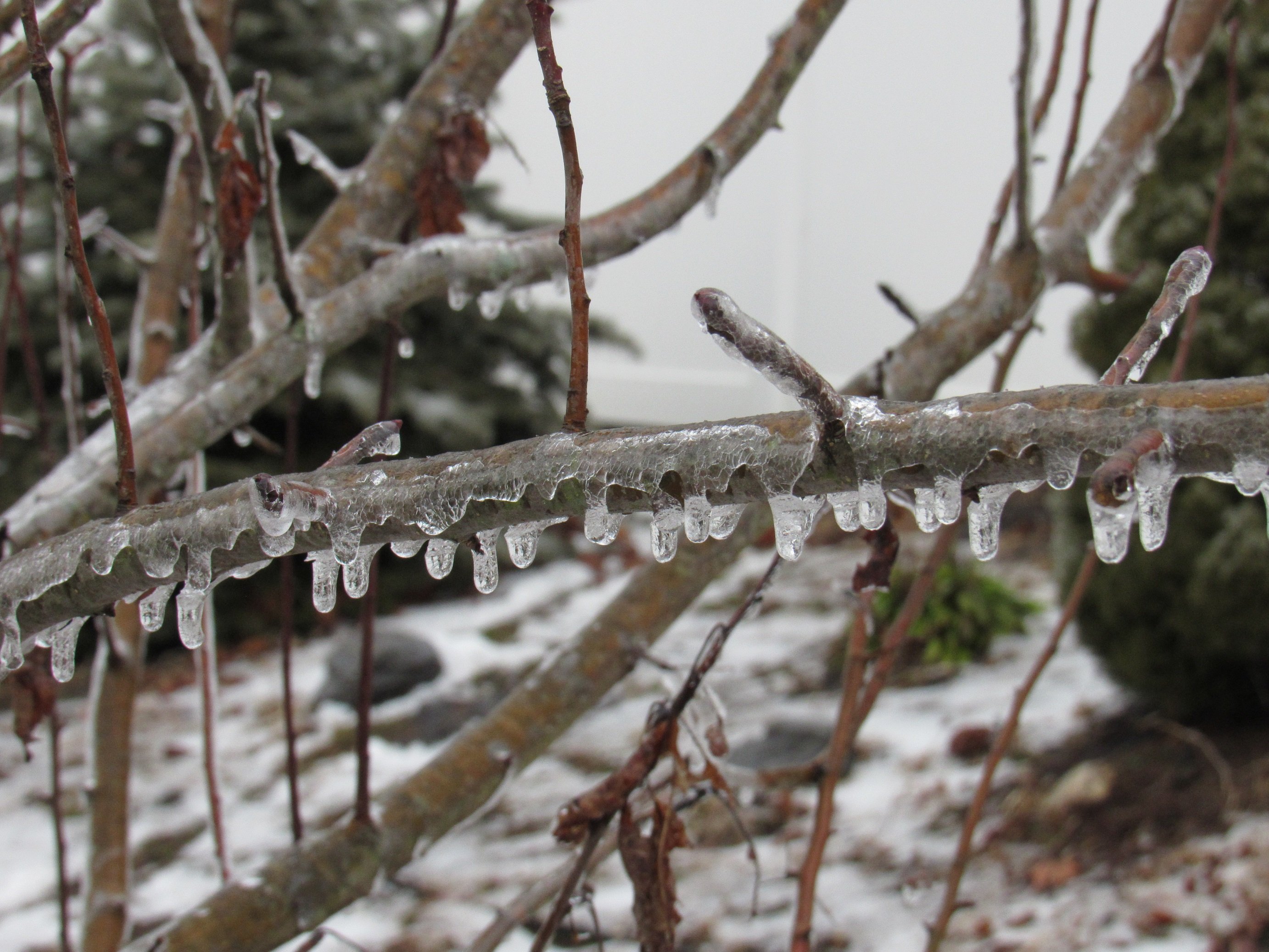
My sources tell me there's more light snow in Prince Frederick again. Another little blob on radar over us. Still nothing more than a Trace, but any refresher snowflakes are acceptable after the beating my snowpack took yesterday afternoon. -
Southern MD / Lower Eastern Shore weather discussion
PrinceFrederickWx replied to PrinceFrederickWx's topic in Mid Atlantic
There was light snow when I left for work which continued all the way up until I got past Dunkirk. My wife (who's still at home) is saying its snowing decently now but not sticking to much of anything. Radar looks like a blob just over southern MD. I'll put this down as a Trace unless she says its starting to cover everything, then I'll figure out what to record. This would be 9 days out of the last 16 (since 2/12) that I've had at least a Trace or more. When I was sitting on my deck in upper 60's on 2/8, thinking of my whopping 1.5" seasonal total at the time, I would have never guessed this is what the rest of the month would look like! Btw when I came out to leave I noticed on my car the snowflakes were all little perfect 6-sided dendrites. I rarely see that. The good news is most of my spring bulbs have survived! I been covering them over at night and during snowstorms... though I left them uncovered today not thinking it was going to snow. -
I think BWI will finish either 2nd or 3rd coldest February. That will also be a top 10 coldest month overall. Rodney or MN (or anyone), how does it look for DCA and IAD rankings? I don't keep spreadsheets of those.
-
Southern MD / Lower Eastern Shore weather discussion
PrinceFrederickWx replied to PrinceFrederickWx's topic in Mid Atlantic
Gonna go with 4" even for final total. Actual measurements towards the end were slightly less than that (around 3.5"-3.75"), but it was compacting and melting while it was snowing, plus I usually round to the nearest half inch. -
Southern MD / Lower Eastern Shore weather discussion
PrinceFrederickWx replied to PrinceFrederickWx's topic in Mid Atlantic
I'm working from home- looks like 2 or 3 inches to me so far but I can't tell. Will do an actual measurement when its over. Still snowing hard and sticking to everything including roads. This is really nice to see after last weekend's shutout! -
Southern MD / Lower Eastern Shore weather discussion
PrinceFrederickWx replied to PrinceFrederickWx's topic in Mid Atlantic
Great storm for me thus far, hope the rest of you are getting it good too! -
Southern MD / Lower Eastern Shore weather discussion
PrinceFrederickWx replied to PrinceFrederickWx's topic in Mid Atlantic
Looking forward to reading everyone's obs and totals overnight and tomorrow! -
Southern MD / Lower Eastern Shore weather discussion
PrinceFrederickWx replied to PrinceFrederickWx's topic in Mid Atlantic
Ok that's it, I'm going all in. Let's reel this one in like President's Day! -
Southern MD / Lower Eastern Shore weather discussion
PrinceFrederickWx replied to PrinceFrederickWx's topic in Mid Atlantic
Yeah that snow map is much higher than your advisory and my point and click (which only calls for an inch tonight and half-inch tomorrow). Some other forecasts I've seen: Accuweather: 1-3" for all of us TWC: 3-5" St. Mary's and lower shore, 1-3" Calvert and Charles Hoping for a 1/29/14 repeat! -
So far, this is the 2nd coldest February at BWI: 1934 - 24.3 degrees 2015 - 25.3 degrees 1979 - 25.6 degrees
-
Southern MD / Lower Eastern Shore weather discussion
PrinceFrederickWx replied to PrinceFrederickWx's topic in Mid Atlantic
They put St. Mary's in the WWA but not Calvert. -
Southern MD / Lower Eastern Shore weather discussion
PrinceFrederickWx replied to PrinceFrederickWx's topic in Mid Atlantic
I saw the radar... you guys on the other side of the bay getting anything good? -
Southern MD / Lower Eastern Shore weather discussion
PrinceFrederickWx replied to PrinceFrederickWx's topic in Mid Atlantic
I'm stating the obvious, but this would be a huge bust for the GFS and Euro if this storm happens. Also snowdude, just wanted to mention (as others here already have) that we really appreciate you taking the time to post here! -
Southern MD / Lower Eastern Shore weather discussion
PrinceFrederickWx replied to PrinceFrederickWx's topic in Mid Atlantic
DT is going with 2-4" for southern MD and the lower shore lol: https://www.facebook.com/WxRisk/photos/a.148807335166533.25889.129478830432717/823746297672630/?type=1&theater LWX now has me at 40% chance of snow Wed. night and 30% chance on Thurs. -
Southern MD / Lower Eastern Shore weather discussion
PrinceFrederickWx replied to PrinceFrederickWx's topic in Mid Atlantic
I haven't been following the Thurs. system but I see LWX has me as mostly sunny all week. I doubt we get anything, but one thing I've been learning here with storms- we're much better off hoping for a north trend than a south trend. -
Southern MD / Lower Eastern Shore weather discussion
PrinceFrederickWx replied to PrinceFrederickWx's topic in Mid Atlantic
I hate this storm more than Boxing Day. -
Southern MD / Lower Eastern Shore weather discussion
PrinceFrederickWx replied to PrinceFrederickWx's topic in Mid Atlantic
Yeah, I saw that yellow band coming through and was like "please let that be snow!" ...nope, its all sleet. -
Southern MD / Lower Eastern Shore weather discussion
PrinceFrederickWx replied to PrinceFrederickWx's topic in Mid Atlantic
Temp dropped from 33 to 31 since it started but it looks like some sleet and rain are trying to mix in. Its laying everywhere but roads. I've probably got about 0.25 inches. Just hoping I can squeeze out an inch. Like I said on the main thread earlier, I shouldn't be too mad, President's Day was good to us and I still have several inches on the ground- its been a pretty epic winter week IMBY regardless. -
Southern MD / Lower Eastern Shore weather discussion
PrinceFrederickWx replied to PrinceFrederickWx's topic in Mid Atlantic
Its finally snowing decently here. Hopefully we can get a little something before its over. -
Southern MD / Lower Eastern Shore weather discussion
PrinceFrederickWx replied to PrinceFrederickWx's topic in Mid Atlantic
Its days like today that remind me why we need a separate thread for all of us. I knew we weren't getting much but I wasn't expecting a total shutout. Us doing good and the rest of the forum doing good are mutually exclusive, it seems. LWX should just pull the WWA's down here. -
Southern MD / Lower Eastern Shore weather discussion
PrinceFrederickWx replied to PrinceFrederickWx's topic in Mid Atlantic
I'm getting impatient. -
Southern MD / Lower Eastern Shore weather discussion
PrinceFrederickWx replied to PrinceFrederickWx's topic in Mid Atlantic
LWX going with WWA and 1-2" for all of southern MD. That's about the most I'm hoping for. -
Southern MD / Lower Eastern Shore weather discussion
PrinceFrederickWx replied to PrinceFrederickWx's topic in Mid Atlantic
Yeah I know what you mean... that's the problem with NHK, its not really a good representation of anyone in the region sometimes because its too close to the water and too far southeast. Wish they had a climo station in like Mechanicsville or something, that would work for a lot of us lol -
Southern MD / Lower Eastern Shore weather discussion
PrinceFrederickWx replied to PrinceFrederickWx's topic in Mid Atlantic
Looking at the snow maps (which as we know, aren't very accurate) it looks like I'm right on the bubble. Not so good for you guys further down in St. Mary's and especially the lower shore. I know how these north & west type deals work though so I'm not holding out hope for much at all, maybe a little front end thump of snow before a flip to rain. If you can find mitchnick's and snowfan's responses to me in the main thread they showed me how to find the output for NHK (which probably represents you much better than me, but still the best I have to go off of). -
Southern MD / Lower Eastern Shore weather discussion
PrinceFrederickWx replied to PrinceFrederickWx's topic in Mid Atlantic
Did we get snow overnight down here? When I came out to leave for work it looked like we had another dusting. I don't think it was snow drifts cause it was too uniformly spread out. There's no obs at KNHK saying snow though. Can anyone confirm?