rochesterdave
-
Posts
6,707 -
Joined
-
Last visited
Content Type
Profiles
Blogs
Forums
American Weather
Media Demo
Store
Gallery
Everything posted by rochesterdave
-
Upstate/Eastern New York
rochesterdave replied to BuffaloWeather's topic in Upstate New York/Pennsylvania
-
Upstate/Eastern New York
rochesterdave replied to BuffaloWeather's topic in Upstate New York/Pennsylvania
Near Skaneatles? Right? Weve had solid 6” in Irondequoit. NWS dropped advisory for Monroe. They drinking? -
Upstate/Eastern New York
rochesterdave replied to BuffaloWeather's topic in Upstate New York/Pennsylvania
ARW super expectant on south shore. “You get a foot! You get a foot! Everyone gets a foot!” And real late. We’ve already had a bit. It could be right. But damn it’s tough to accumulate. Even at night, my trash can has 3.5” while my driveway is struggling to get to an inch. -
Upstate/Eastern New York
rochesterdave replied to BuffaloWeather's topic in Upstate New York/Pennsylvania
If you look at the Georgian Bay Radar. It’s moving NE-SW. A big tell for big snow for Kroc. I might be talking myself out of my conservative stance. NWS was talking a west flow. Forget that. It’s a NE flow. Who knows. I’m sticking with 3-5”, 4-8”. But damn, if that system was just a bit further west, I’d be screaming “pattern recognition! This is a foot plus”. Especially this time of year. Ugh. Tough call. Lean low. -
Upstate/Eastern New York
rochesterdave replied to BuffaloWeather's topic in Upstate New York/Pennsylvania
Totally a finger lakes enhanced event. You have that N wind and elevation. Perfect set up. Must be fun! I love those micro climate areas. You look to be just east of that area that typically gets bonus snow from Cayuga? -
Upstate/Eastern New York
rochesterdave replied to BuffaloWeather's topic in Upstate New York/Pennsylvania
Ontario does look to be firing on most cylinders. Lol -
Upstate/Eastern New York
rochesterdave replied to BuffaloWeather's topic in Upstate New York/Pennsylvania
Couldn’t agree more. I also never understood the Buf map. Sometimes they just go out on a limb. Without hardly any support. I questioned my conservative thinking a lot with this one. ESP after Bing expanded their warnings. If Buf has the confidence to put out a snowfall map like they did I kinda think they should back it up with the appropriate headlines. I could easily eat these words. And Spring is tough. Elevation matters. I like areas like Skaneatles. But southern Monroe? 8-12? Ontario toying with 12-18? No warning? i started thinking about pattern recognition. And if this LP retro’d into N Vermont, yeah, I could see it. But it was always progged to stay east of St Lawrence mouth. So I don’t get their numbers. I get their headlines. -
Upstate/Eastern New York
rochesterdave replied to BuffaloWeather's topic in Upstate New York/Pennsylvania
Toronto Radar usually a decent harbinger of things to come for south shore. This is one of the more bullish signals I’ve seen. -
Upstate/Eastern New York
rochesterdave replied to BuffaloWeather's topic in Upstate New York/Pennsylvania
As far as I can tell, the 0z suites have once again cut totals in KROC. Now down to an average of 4-5”. Low end 3”, high end 7 or 8”. I’ve had about 1.5-2” so far. This was never gonna be a warning event. Still fun. Now it’s all obs. Could there be local surprises? Maybe. Always possible. Pretty nice line moved through around 11pm with briefly hvy stuff. Now we are back to snow showers. Mod at times. 1 mi visibility. -
Upstate/Eastern New York
rochesterdave replied to BuffaloWeather's topic in Upstate New York/Pennsylvania
No. No grass in Roc. I meant on cold surfaces. We have a 5” snow pack. It’s dense too. Certainly, the eastern zones look to do pretty well. Especially any elevation near Syracuse. Skanneatles was my jackpot zone. KROC might see 2-4” total. Not bad for this late and not really synoptic. The NAM 3k appears to have dropped ROC from 1.25”-.75. So almost 50%. But I didn’t look real close. It will be interesting to see what ARW does. -
Upstate/Eastern New York
rochesterdave replied to BuffaloWeather's topic in Upstate New York/Pennsylvania
12z NAM trimming back totals along south shore. And it keeps pushing it out. This storm has been 18 hrs out for 72 hrs LOL!!!! -
Upstate/Eastern New York
rochesterdave replied to BuffaloWeather's topic in Upstate New York/Pennsylvania
Yeah. CC gets these big forecasts at least once a year. They never come to fruition. Cut it by 75%. Now Boston, haha, they probably will get 18”. -
Upstate/Eastern New York
rochesterdave replied to BuffaloWeather's topic in Upstate New York/Pennsylvania
I don’t know what to make of this forecast. It’s a mix of synoptic and LES. It’s too warm and too windy for traditional LES. Also, the NWS is forecasting West winds throughout the duration (wrong) which would not favor South shore. Some of the models print out huge amts, 16”. Others, like the GFS showing nada. IDK. If I had to guess, I’d side with a conservative forecast. Couple slushy inches in the grass. I’ll gladly be wrong. -
Upstate/Eastern New York
rochesterdave replied to BuffaloWeather's topic in Upstate New York/Pennsylvania
At some point BING is gonna have to take that 1.25-1.5” consistently being painted just south of Syr. Somebody is gonna do well. North side of Skaneattles always does well. Anyone from that micro climate? -
Upstate/Eastern New York
rochesterdave replied to BuffaloWeather's topic in Upstate New York/Pennsylvania
12z nam just as impressive for south shore. The high Rez suite is gonna be um..... interesting. 3 Days. Most of it Weds-Thurs. -
Upstate/Eastern New York
rochesterdave replied to BuffaloWeather's topic in Upstate New York/Pennsylvania
3k Nam really wants to do this on the South shore. We’ll see. Support would be nice. 12z.? -
Upstate/Eastern New York
rochesterdave replied to BuffaloWeather's topic in Upstate New York/Pennsylvania
H84 on GFS shows the wrap and ensuing lake response I suspect. It’s 3 days away though. I wonder if it doesn’t end up a bit further East. -
Upstate/Eastern New York
rochesterdave replied to BuffaloWeather's topic in Upstate New York/Pennsylvania
What are your thoughts on ratios? I know you and Freak are usually dialed in on temp profiles. These long duration, moderate rate, Spring things are hard to accumulate. Especially from the public’s perspective. Roc has had a lot of measured snow over the last 5 days but I doubt the ave person would believe it. -
Upstate/Eastern New York
rochesterdave replied to BuffaloWeather's topic in Upstate New York/Pennsylvania
Cranky sends me local wx updates. Love that guy! -
Upstate/Eastern New York
rochesterdave replied to BuffaloWeather's topic in Upstate New York/Pennsylvania
Irondequoit has gotten about 8” over last 72 hrs. In the shade. It melted as soon as the sun touched it. No more than 3” increase to pack at any given time. I doubt if most people even noticed the accums other than brushing slush from their car windows. And only if they got up early or just after a squall. This next one looks to be a carbon copy but even later in Spring. A small twist noted over CNY noted on a few models around 78-96 hrs. Small LP might be interesting for Roc-Syr region. -
Upstate/Eastern New York
rochesterdave replied to BuffaloWeather's topic in Upstate New York/Pennsylvania
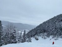
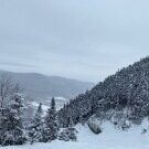
Snowing like crazy in Irondequoit -
Upstate/Eastern New York
rochesterdave replied to BuffaloWeather's topic in Upstate New York/Pennsylvania
Reminds me of how I measure my own performance. The weather can humble the best among us. None of us are right all the time. -
Upstate/Eastern New York
rochesterdave replied to BuffaloWeather's topic in Upstate New York/Pennsylvania
Erie county does get vastly different weather depending on location and elevation. I think it’s the only county that gets split for NWS alert packages. I was just thinking of how I’d like to live in the Boston Hills. I’m an MRI tech, so getting a job simply requires me being within 30 mins of a medical center. I like rural, woodsy living. -
Upstate/Eastern New York
rochesterdave replied to BuffaloWeather's topic in Upstate New York/Pennsylvania
I always get a bit depressed when winter is over. Luckily the sun, warmth and joy of Spring quickly relieves that. Tracking winter storms is one of the great pleasures of my life. It’s also an emotional infatuation. Being able to share that, here, with like minded peeps is just amazing. See ya! -
Upstate/Eastern New York
rochesterdave replied to BuffaloWeather's topic in Upstate New York/Pennsylvania
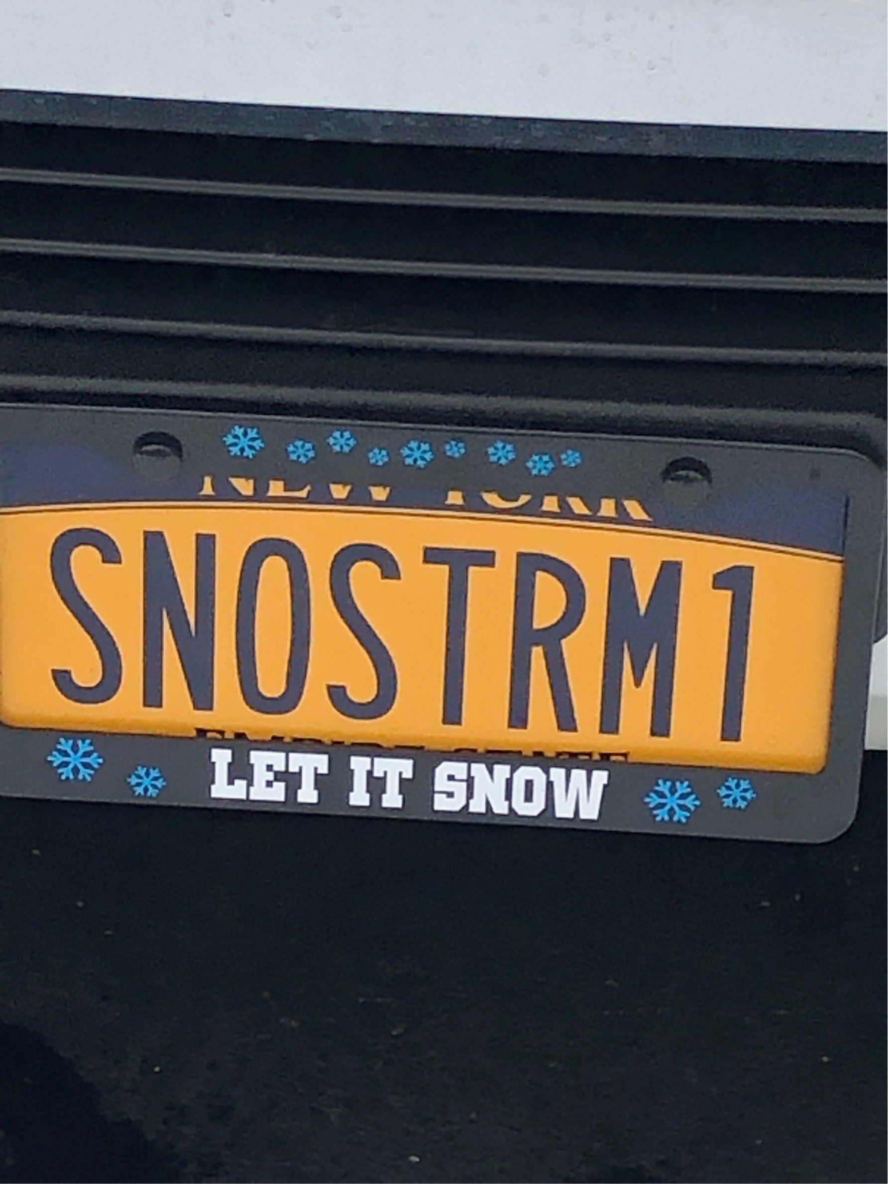
It NOT GON Snow!

