rochesterdave
-
Posts
6,707 -
Joined
-
Last visited
Content Type
Profiles
Blogs
Forums
American Weather
Media Demo
Store
Gallery
Everything posted by rochesterdave
-
Upstate/Eastern New York
rochesterdave replied to BuffaloWeather's topic in Upstate New York/Pennsylvania
Those bands get stuck in the pivot. As the storm changes its trajectory from east to north, they will stall somewhere. They are probably starting that process now. I hope. -
Upstate/Eastern New York
rochesterdave replied to BuffaloWeather's topic in Upstate New York/Pennsylvania
Absolutely puking snow. 2”/hr -
Upstate/Eastern New York
rochesterdave replied to BuffaloWeather's topic in Upstate New York/Pennsylvania
3/4-1” rates now. No sign of that mother f’ing sleet -
Upstate/Eastern New York
rochesterdave replied to BuffaloWeather's topic in Upstate New York/Pennsylvania
Still sleet mix in Roc -
Upstate/Eastern New York
rochesterdave replied to BuffaloWeather's topic in Upstate New York/Pennsylvania
I love pouring over the models. I also like getting out in it. Can I do both? -
Upstate/Eastern New York
rochesterdave replied to BuffaloWeather's topic in Upstate New York/Pennsylvania
We are 90% snow just SE of Rochester (8mi). It is kinda jumping back and forth. When rates are high, we have great big fluffy flakes; when it decreases, we get just a bit of sleet mixing. 1” so far! -
Upstate/Eastern New York
rochesterdave replied to BuffaloWeather's topic in Upstate New York/Pennsylvania
My obs was an obs. Nothing more. I haven’t been worried about P type. I’ve been concerned about QPF and a snow growth. No worries. Things look good for a thump. -
Upstate/Eastern New York
rochesterdave replied to BuffaloWeather's topic in Upstate New York/Pennsylvania
Rain and sleet in Rochester -
Upstate/Eastern New York
rochesterdave replied to BuffaloWeather's topic in Upstate New York/Pennsylvania
Niagara and Orleans took a big hit. Lost .25” qpf. That’s my concern. NW zones are looking anemic. I’ll bet the 18z NAM cuts the **** out of it. -
Upstate/Eastern New York
rochesterdave replied to BuffaloWeather's topic in Upstate New York/Pennsylvania
Syracuse still looks solid. -
Upstate/Eastern New York
rochesterdave replied to BuffaloWeather's topic in Upstate New York/Pennsylvania
It’s tight for ROC. If my opinion mattered, I’d aim low- unfortunately. -
Upstate/Eastern New York
rochesterdave replied to BuffaloWeather's topic in Upstate New York/Pennsylvania
Can we see the totals for the suckers in the west? -
Upstate/Eastern New York
rochesterdave replied to BuffaloWeather's topic in Upstate New York/Pennsylvania
To add even more confusion to the mix, the new GFS came in strong. Pushed the big totals a bit NW. If I were to go with my gut on this one, I’d slash totals for BUF and ROC. BUF is above 32* at 800 -Sleet is gonna be a problem too... -
Upstate/Eastern New York
rochesterdave replied to BuffaloWeather's topic in Upstate New York/Pennsylvania
I gotta go back and relearn how to read meteograms/ soundings. I figured it out last winter but have since completely lost any notion of how they work. Syrmax and Freak are on that stuff. Our dowstate friends are getting a taste of your surprise wolfie. -
Upstate/Eastern New York
rochesterdave replied to BuffaloWeather's topic in Upstate New York/Pennsylvania
Nah Delta, your a necessary balance. I like your steady nature. And you always back it up. Guys, I thought we were only gonna let Freak out of his cage for the big ones? Lol. I actually love him the most. -
Upstate/Eastern New York
rochesterdave replied to BuffaloWeather's topic in Upstate New York/Pennsylvania
Delta, you’re really pessimistic -
Upstate/Eastern New York
rochesterdave replied to BuffaloWeather's topic in Upstate New York/Pennsylvania
The Canadian models, after being bullish on Rochester all week, have said NOPE right at game time. Ugh. This could be a tough one guys. I think Wolfie is right about the kicker. Those down state bastards. -
Upstate/Eastern New York
rochesterdave replied to BuffaloWeather's topic in Upstate New York/Pennsylvania
RGEM would be the nightmare scenario. Is it possible? Yep. Likely? I hope not. It’s a moisture rich system. Even if we bust I think the thruway corridor ends up with 2-4”. SE finger lakes still look the best. -
Upstate/Eastern New York
rochesterdave replied to BuffaloWeather's topic in Upstate New York/Pennsylvania
It’s looking tight. -
Upstate/Eastern New York
rochesterdave replied to BuffaloWeather's topic in Upstate New York/Pennsylvania
6z models definitely took a beat SE with totals. NW zone was always gonna be tough. -
Upstate/Eastern New York
rochesterdave replied to BuffaloWeather's topic in Upstate New York/Pennsylvania
Honestly, that was a great 0z suite of runs. Most of us got a boost in QPF. Ensembles look good too. This storm is looking quite a bit more impressive. I’m wondering if BUF will upgrade to warnings, especially Gennessee valley and East. Wayne county looks real nice Tim! -
Upstate/Eastern New York
rochesterdave replied to BuffaloWeather's topic in Upstate New York/Pennsylvania
I knew you’d come through. Thanks -
Upstate/Eastern New York
rochesterdave replied to BuffaloWeather's topic in Upstate New York/Pennsylvania
High bust potential on NW edge -
Upstate/Eastern New York
rochesterdave replied to BuffaloWeather's topic in Upstate New York/Pennsylvania
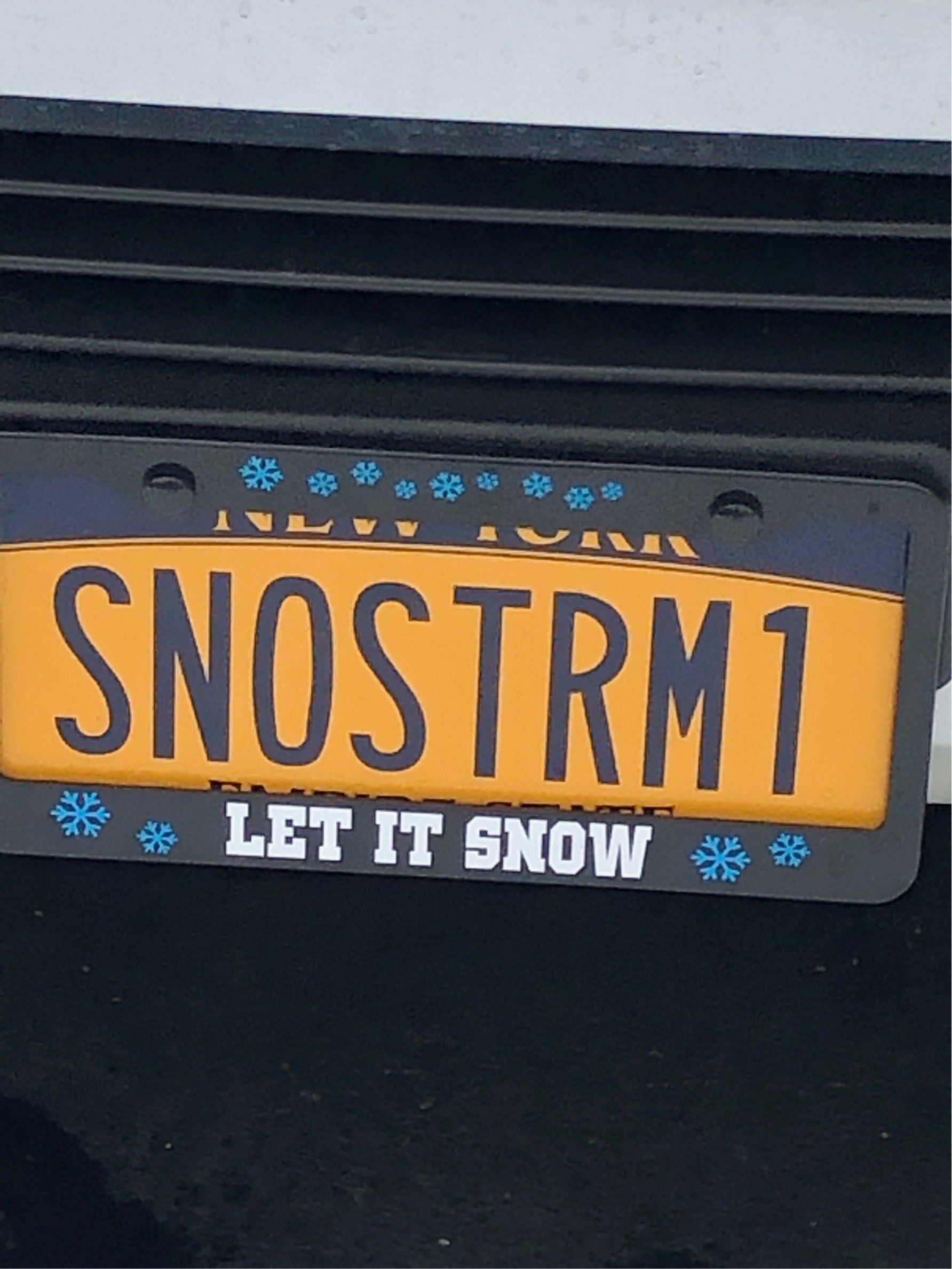
Ha! I was just about to post that, Tim! As to your question earlier, no, I don’t come around here unless there’s snow in the forecast. My obsession is strictly with the white stuff. -
Upstate/Eastern New York
rochesterdave replied to BuffaloWeather's topic in Upstate New York/Pennsylvania
GFS looks good.


