

nycsnow
-
Posts
4,105 -
Joined
-
Last visited
Content Type
Profiles
Blogs
Forums
American Weather
Media Demo
Store
Gallery
Posts posted by nycsnow
-
-
Here it comes
Image
-
 1
1
-
-
Image

-
1
-
-
31 inches nyc lol
Image
-
2
-
 2
2
-
-
Snow map is gonna be 20+ over metro area
-
1
-
-
Still going
Image
-
1
-
-
Image

-
1
-
-
Snow map is gonna be absolutely stupid
Image
-
1
-
-
OH MY GOD
Image
-
1
-
-
Crawling oh man it’s gonna go boom
Image
-
1
-
-
Image

-
1
-
-
It’s gonna be good
Image
-
1
-
-
Image

-
1
-
-
1 minute ago, SnoSki14 said:
Doesn't look any windier than usual. Maybe a low end advisory event at best. Gusts look to cap around 40-45mph but since lapse rates have been unusually strong this season I can see 50mph.
Past few runs I noticed there’s been some 50-55mph gust showing up on models. Also, just seems like it’s widespread not confined to coast or anything etc
-
Just now, SnoSki14 said:
Ridge placement looks bad out west. Unfortunately I think the 20th is a southern slider.
SE will end up with more snow than us this winter.
Yea I tend to agree, trend of winter. But still plenty of time. Next week can be very active models really picking up on a pretty big wind event Monday followed by a storm Thursday
-
1 minute ago, Irish said:
Windshield wiper effect. It'll be back. We're gonna get hammered next Wednesday!
Thursday works better for me lol but ya seems like that’s also another difference in models some are a wed night early Thursday event others Thursday afternoon
-
Def not the 12z run but it’s still a solid event
-
 1
1
-
-
Image

-
1
-
-
Image

-
1
-
-
-
2
-
 1
1
-
-
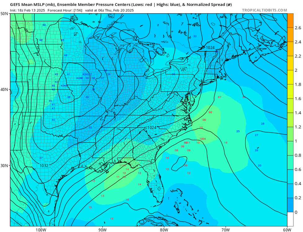
Gfs blows the storm up offshore missed us
-
2 minutes ago, wdrag said:
2/19-20... nothing right now from me... as other have stated..a thread for this possibility can wait... certainly GFS has misgivings as do some of our group.
Will check again tomorrow.
Walt
What are your thoughts about the wind event Monday? Models all seem to be coming into agreement on a solid 45-55 gust event with isolated 60
-
 1
1
-
-
Image

-
1
-
1
-
-
Gfs continues to show winds 45-55 Monday
-
1
-
-
Models also hinting at a fairly impressive wind event Monday, gfs euro icon all showing wind gust in the 50-60 with isolated 65 mph range
-
1
-
1
-

February 2025
in New York City Metro
Posted