

EastCoast NPZ
-
Posts
8,890 -
Joined
-
Last visited
Content Type
Profiles
Blogs
Forums
American Weather
Media Demo
Store
Gallery
Posts posted by EastCoast NPZ
-
-
2 hours ago, winter_warlock said:
I wonder if the storm for the 20th (if it does happen) would Happen during the Ravens playoff game
Well, if it did then there wouldn't be a game anyway. The NFL is a ****ing joke anymore.
-
22 minutes ago, raindancewx said:
My personal view is you guys will still end up near average for snow.
But most of it will come in a 2-4 week period starting in late February that runs through mid-March. You're not particularly close to the favorable part of the pattern yet. I'm expecting March (at times, not the whole month) to resemble something like this, but with the main features shifted Northeast. I suspect you'd get some off mean-track system that would dump 6 inches of snow in that setup.

We'll hit 80F in March.
-
 2
2
-
-
Just now, caviman2201 said:
Whats your total since Jan 2022? Is it > 0"?
It is, but not by much. I moved back here in May. Got nothing in this location last year. They did get a couple inches from that Jan 2022 storm that buried DC / central VA. 20 miles NW at my location then I didn't get a flake. And this location got about 3" slushy inches from that 2-day storm in early Feb that year. That's the last time it snowed greater than 1/2" in Stephens City.
-
 1
1
-
-
4 minutes ago, caviman2201 said:
He honestly is... if you just simply went with whatever model showed no snow you'd pretty much be batting 1.000 over the past 2 years. Maybe it legit just doesn't snow here anymore under 750ft
Here's a tip: it doesn't snow at 750 ft either.
-
2
-
-
1 minute ago, psuhoffman said:
If you had a gun to your head right now and had to predict how many years before DCA/BWI/IAD (yes all 3 no fluke year where one spot just gets lucky) all record an above avg snowfall season. What would you say?
How long until the new 30-year averages come out? Once that happens it shouldn't be far behind. A trashcan topper should do it.
-
This was all too easy to see coming.
-
1
-
-
3 minutes ago, CAPE said:
With timing differences and possibly 2 waves, this is a better depiction. Still not great, but the mean implies 1-2".

Obliterated
-
 5
5
-
 1
1
-
-
11 minutes ago, psuhoffman said:
I'm not sure this matters though because they are trending NW under a totally different paradigm than the euro sees that starts to veer off around hour 60. The other guidance have a much more amplified 3rd wave and weaker 2nd wave. Under that scenario there is room for the storm to track more NW. But if the euro is correct we never get to that scenario. The 2nd wave takes too much of the energy off, the 3rd wave is flat and positive tilted and there is no chance for the storm to even get going. What happens under one paradigm doesn't necessarily mean anything if that whole paradigm is wrong. If the euro is right about what those waves are going to look like around hour 60 there wont be a storm to track further NW. It will just be a series of weak arse waves off the SE coast until its way too far OTS to do us any good. We just have to hope that the euro is the one messing up the configuration of those waves not all other guidance.
That is a great summary of a confusing situation.
Deep down, everyone knows which one is right.
-
1
-
3
-
-
26 minutes ago, psuhoffman said:
Some would complain. I remember after that Feb storm I traveled from near Philly to Harpers Ferry for my cousin’s baptism. We left the day after the storm early morning. By the time we got to WV there was nothing but patches in shade left. I remember I said to my uncle “we had a foot of snow I’m surprised you didn’t get as much” and he said “we had 18” but it all melted today it was so warm”.
That is exactly as it happened. 14" in Front Royal overnight. All gone by evening that day. Schools open the following day.
-
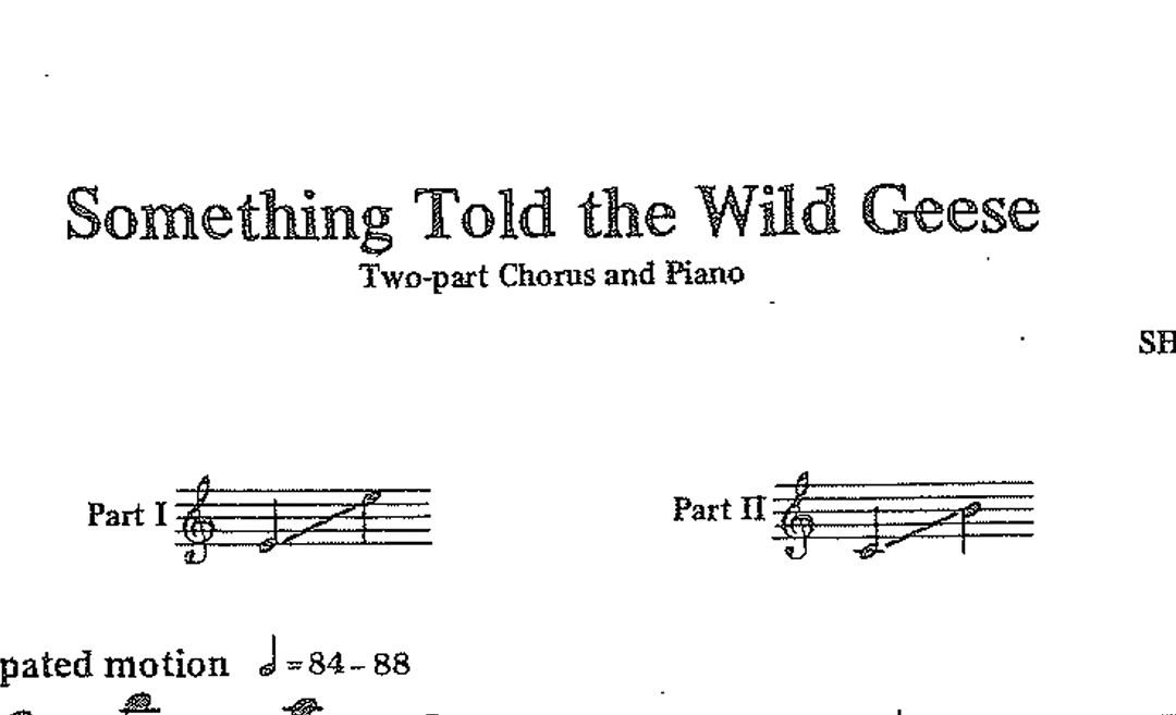
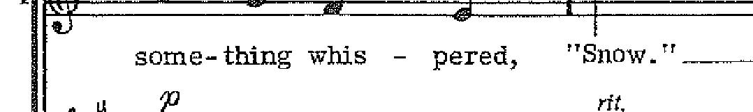
1 hour ago, Maestrobjwa said:
Y'all I kid you not...this is the music I just received for a school gig. Given the joke here this year, is an absolutely hilarious coincidence, hahaha

Wait it gets better:

Worst weather forecasters ever.
-
2
-
-
6 minutes ago, BristowWx said:
Would rather 6 inches over 24 hours than 24 inches over 6 hours. Just like to watch it snow.
It'd have to be very cold for that to work. Almost impossible in daytime outside the mountains.
-
11 minutes ago, midatlanticweather said:
I bet everything speeds up and it is not a 24-hour event! LOL! These things always end up being quick even when modeled for a long time. Maybe you were being sarcastic.. I cannot think of on event that took so long.
We had a 36 hour event the beginning of Feb 2022.
-
2
-
-
32 minutes ago, Ji said:
Can you imagine if someone had told you that you would have 10 inches of liquid since Nov 20 and no snow by now?Be sure to put that one in the panic thread too.
-
55 minutes ago, hazwoper said:
How rare is it to have super cells with large imbedded tornadoes forming off the cost of the Carolinas and making landfall in mid January. Serious question.
A lot less rare than an East Coast snow storm.
-
1
-
-
11 minutes ago, WinterWxLuvr said:
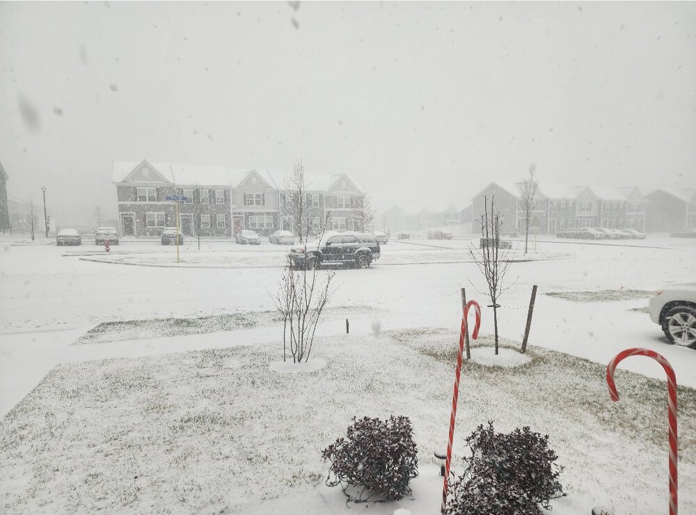
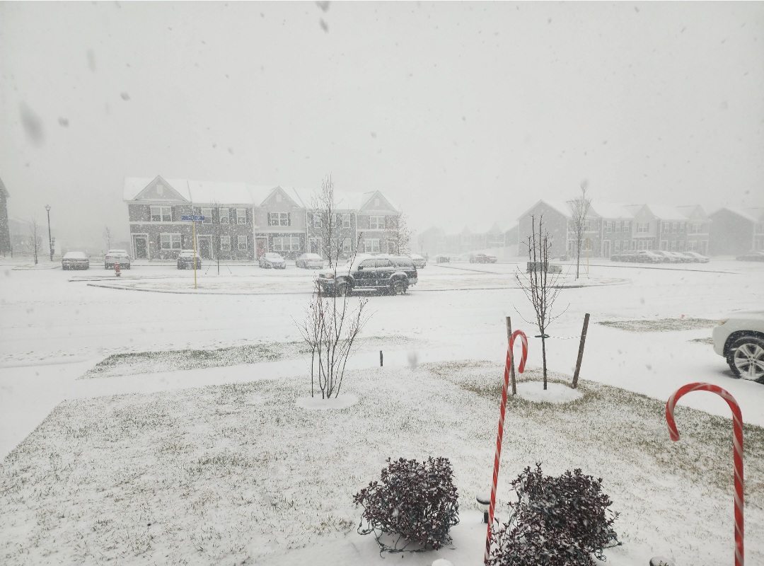
It has been pouring snow out here this morning. Crazy situation. The western half of Frederick county has picked up about 1.5-2” of snow while about 5 air miles away closer to Winchester has only rain. 50 and 522 are a mess. Areas to the sw near New Market are a mess as well. I81 north is completely shut at Mew Market. Here’s a cam from 522

Can confirm the rain!
-
Schools here closed also.
-
Back to mostly sleet here. But that was fun. That was really heavy snow for about 15 minutes. Picked up at least 1/2". That was 150-yard visibility. Probably 2" per hour rate. Shame that didn't last. All sleet now again.
-
17
-
-
1 minute ago, Wxtrix said:
i can see it on the radar, but i am wondering if it is actually sleet.
It's snow
-
 1
1
-
-
Snowing again!?! Hard. Thats a surprise.
-
2
-
-
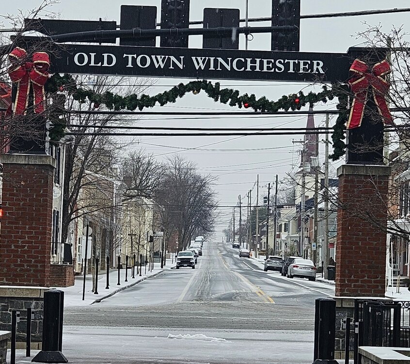
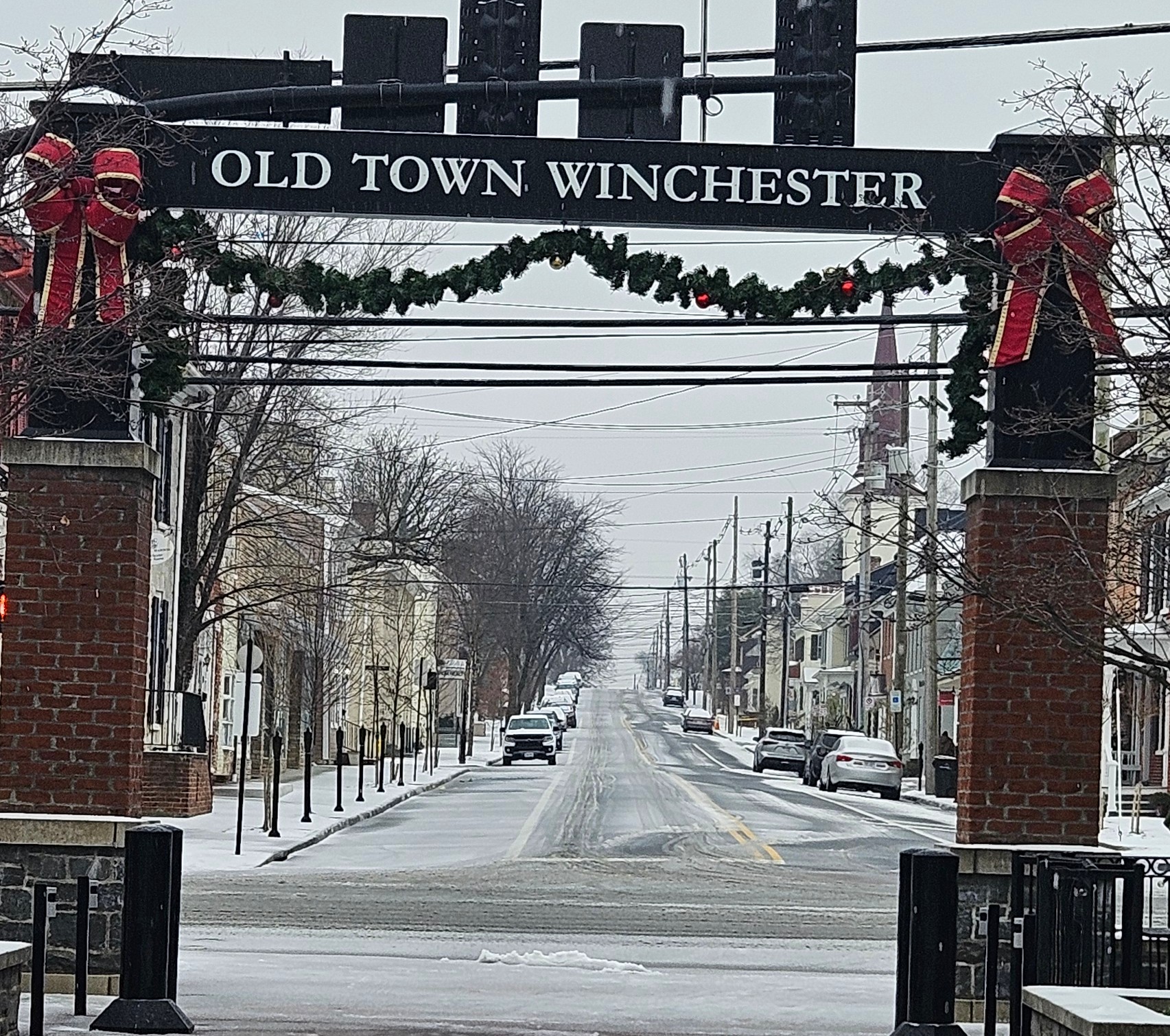
19 minutes ago, aldie 22 said:
Stopped by Winchester earlier...mostly sleet
How was the Five Guys burgers?
-
5
-
-
Yep, I'm good with this winter ending.
-
1
-
-
How's Tuesday looking?
-
And back to all sleet. And heavy sleet, so it's no longer because of light rates. This one is toast for Stephens City. Not surprising, went exactly how I thought it would.
-
1
-
-
2 minutes ago, clskinsfan said:
Love hearing that.
Well, it's a mix of sleet and snow. I got excited when I saw flakes and am taking a walk. But it's still at least 50% sleet.
-
1
-

Jan Medium/Long Range Disco 2: Total Obliteration is Coming
in Mid Atlantic
Posted
I'm always confused as to the orientation needed to phase NS and SS vorts.