GrandmasterB
-
Posts
805 -
Joined
-
Last visited
Content Type
Profiles
Blogs
Forums
American Weather
Media Demo
Store
Gallery
Everything posted by GrandmasterB
-

The Ides of March end of Winter 2023
GrandmasterB replied to paweather's topic in Upstate New York/Pennsylvania
100% correct. I know sun angle gets thrown around a lot across the forums, but in March it can be an accumulation killer. Especially, as you pointed out, in light to moderate intensity periods. -
The Ides of March end of Winter 2023
GrandmasterB replied to paweather's topic in Upstate New York/Pennsylvania
Shaping up to be a pretty big bust though in populated areas of CT/Eastern Mass. Forecast areas of 12-16 may end up with a few inches or none at all. Kinda fun to track actually since I had no emotional investment like I would have if it was impacting down here! -
The Ides of March end of Winter 2023
GrandmasterB replied to paweather's topic in Upstate New York/Pennsylvania
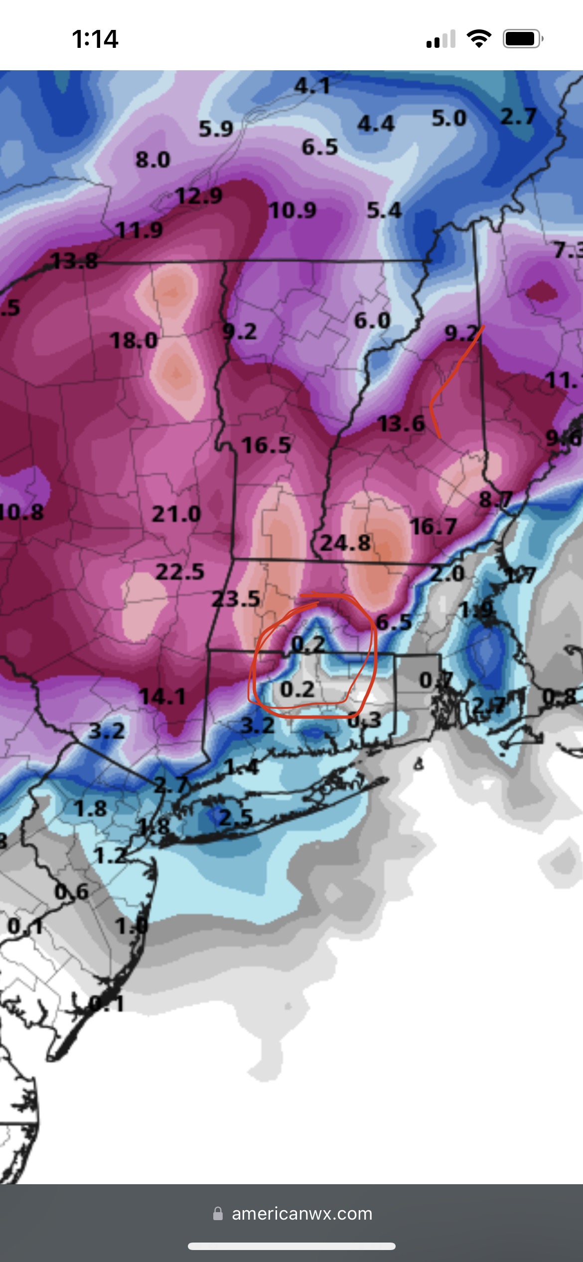
This New England storm is crazy. Every model has a sick cutoff depending on exact track and elevation. Check this out: Nothing to 24” in a few miles:
-
The Ides of March end of Winter 2023
GrandmasterB replied to paweather's topic in Upstate New York/Pennsylvania
Crazy model war with this storm for New England. GFS is not impressive outside of elevated areas. 163 pages for this storm in their sub forum. Almost makes me glad to be on the sideline! -
The Ides of March end of Winter 2023
GrandmasterB replied to paweather's topic in Upstate New York/Pennsylvania
Interesting NAM run -
The Ides of March end of Winter 2023
GrandmasterB replied to paweather's topic in Upstate New York/Pennsylvania
Yeah, sounds like it’s later with the coastal development which is a move towards the GFS. -
The Ides of March end of Winter 2023
GrandmasterB replied to paweather's topic in Upstate New York/Pennsylvania
Euro definitely looks good, but it’s a bit on its own with how quickly it strengthens the coastal south of us. If the coastal is delayed like the GFS then the best (and maybe only) snow is well north and east. Today will be a critical day to see if the Euro folds or the other globals trend towards it. -
The Ides of March end of Winter 2023
GrandmasterB replied to paweather's topic in Upstate New York/Pennsylvania
A track like that is a much easier way for for the southeast crew to score. I’d roll the dice with that look, even if verbatim it’s too warm. -
The Ides of March end of Winter 2023
GrandmasterB replied to paweather's topic in Upstate New York/Pennsylvania
That was a painful one. I’d prefer not to repeat it! -
The Ides of March end of Winter 2023
GrandmasterB replied to paweather's topic in Upstate New York/Pennsylvania
Looks a hair south of 6Z. Southern counties are riding the line. Snowy from central on north. -
The Ides of March end of Winter 2023
GrandmasterB replied to paweather's topic in Upstate New York/Pennsylvania
Yeah, I’m good to lock that Euro run! Under 96 hours now too. -
The Ides of March end of Winter 2023
GrandmasterB replied to paweather's topic in Upstate New York/Pennsylvania
18Z Euro ensembles look nice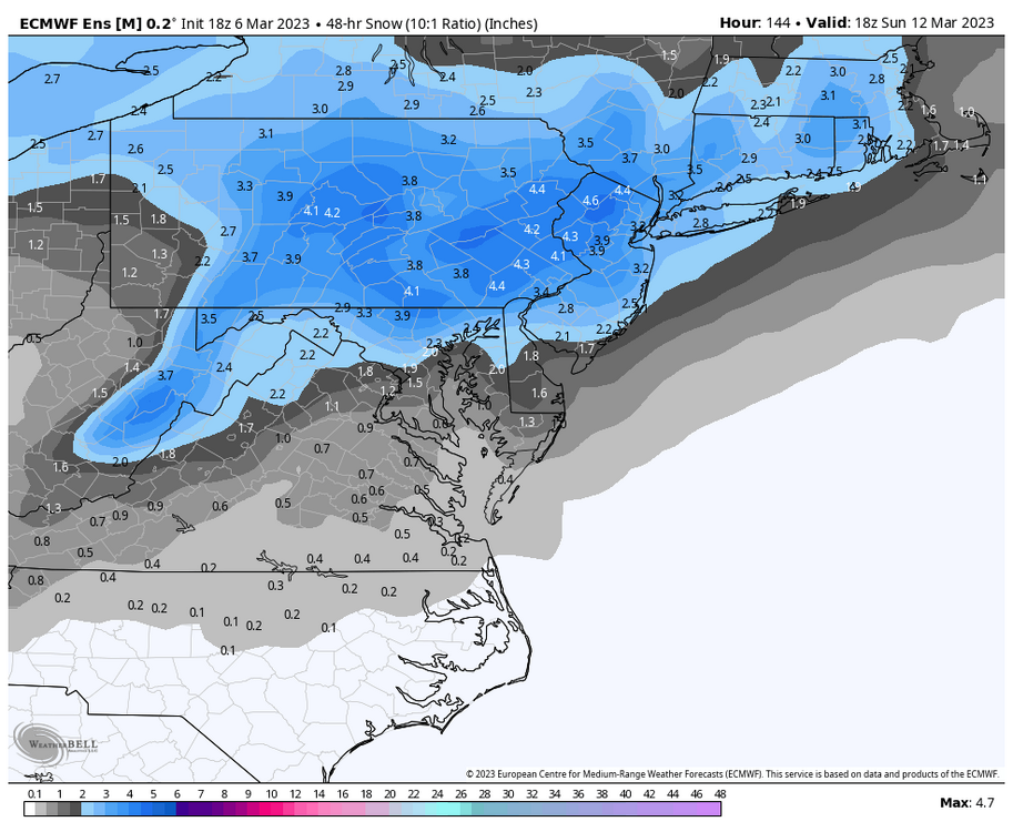
-
The Ides of March end of Winter 2023
GrandmasterB replied to paweather's topic in Upstate New York/Pennsylvania
One thing for certain, the pattern has potential. Just gotta find a way to cash! -
The Ides of March end of Winter 2023
GrandmasterB replied to paweather's topic in Upstate New York/Pennsylvania
I think you have great analysis, Nut but I have to disagree on calling this one progressive. Verbatim the GFS has the coastal low looping over and around Long Island for 18+ hours. I wouldn’t label that track progressive, the block is slowing it down it’s just too far north. -
The Ides of March end of Winter 2023
GrandmasterB replied to paweather's topic in Upstate New York/Pennsylvania
If this were 75-100 miles further south it would be very very good. Typically not a lot to ask for 100+ out but we all know the drill this year: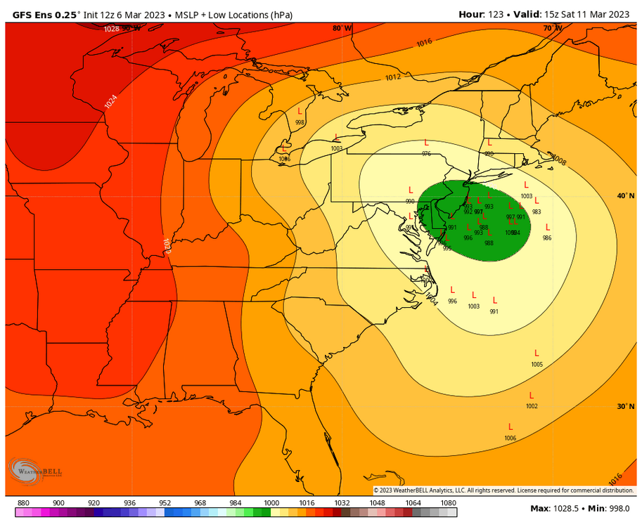
-
The Ides of March end of Winter 2023
GrandmasterB replied to paweather's topic in Upstate New York/Pennsylvania
My fear in rooting for ITT2 is that one could be easily squashed by ITT1. The spacing is pretty bad. Based on the season so far, we’ll figure out a way to whiff on both. -
The Ides of March end of Winter 2023
GrandmasterB replied to paweather's topic in Upstate New York/Pennsylvania
If that’s a reference to Bud Bundy you win today. -
The Ides of March end of Winter 2023
GrandmasterB replied to paweather's topic in Upstate New York/Pennsylvania
This theory hasn’t worked all year, but I’m sticking with “I don’t want to be bullseyed 110 hours out”. In the past, there have been times that the block has forced adjustments in track further south on each subsequent model suite. I’m rolling with that for now! -
The Ides of March end of Winter 2023
GrandmasterB replied to paweather's topic in Upstate New York/Pennsylvania
Both the GFS and CMC were further south than their previous runs and pretty close to something decent for C-PA. Still awhile to go. -
The Ides of March end of Winter 2023
GrandmasterB replied to paweather's topic in Upstate New York/Pennsylvania
Euro control has to be right one time this winter, right? RIGHT???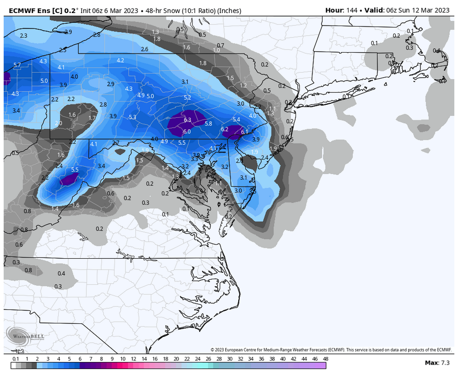
-
The Ides of March end of Winter 2023
GrandmasterB replied to paweather's topic in Upstate New York/Pennsylvania
Let’s ride this one to the end, Blizz!! -
The Ides of March end of Winter 2023
GrandmasterB replied to paweather's topic in Upstate New York/Pennsylvania
It’s reassuring to know that if any model spits out 30” in our general area, Blizz will be posting it. That’s world class consistency! -
Central PA Winter 2022/2023
GrandmasterB replied to Blizzard of 93's topic in Upstate New York/Pennsylvania
50/50 snow sleet mix. Mulch covered and grass starting to cave. Would love for this to continue until that really heavy stuff out west gets here. -
Central PA Winter 2022/2023
GrandmasterB replied to Blizzard of 93's topic in Upstate New York/Pennsylvania
I’m lazy, post maps -
Central PA Winter 2022/2023
GrandmasterB replied to Blizzard of 93's topic in Upstate New York/Pennsylvania
Fatties mixed in now too. I’m considering this a huge win (for this winter). Don’t even care if it flips to rain the rest of the way.