

iluvsnow
-
Posts
322 -
Joined
-
Last visited
Content Type
Profiles
Blogs
Forums
American Weather
Media Demo
Store
Gallery
Posts posted by iluvsnow
-
-
Severe Weather Statement
Severe Weather Statement National Weather Service Wilmington OH 529 PM EDT Sat Aug 1 2020 OHC113-135-012145- /O.CON.KILN.TO.W.0021.000000T0000Z-200801T2145Z/ Preble OH-Montgomery OH- 529 PM EDT Sat Aug 1 2020 ...A TORNADO WARNING REMAINS IN EFFECT UNTIL 545 PM EDT FOR EAST CENTRAL PREBLE AND WEST CENTRAL MONTGOMERY COUNTIES... At 528 PM EDT, a severe thunderstorm capable of producing a tornado was located near West Alexandria, moving northeast at 20 mph. HAZARD...Tornado. SOURCE...Radar indicated rotation. IMPACT...Flying debris will be dangerous to those caught without shelter. Mobile homes will be damaged or destroyed. Damage to roofs, windows, and vehicles will occur. Tree damage is likely. Locations impacted include... New Lebanon and Pyrmont. PRECAUTIONARY/PREPAREDNESS ACTIONS... TAKE COVER NOW! Move to a basement or an interior room on the lowest floor of a sturdy building. Avoid windows. If you are outdoors, in a mobile home, or in a vehicle, move to the closest substantial shelter and protect yourself from flying debris. To report severe weather, go to our website at weather.gov/iln and submit your report via social media, when you can do so safely. && LAT...LON 3969 8450 3971 8454 3983 8447 3972 8436 TIME...MOT...LOC 2128Z 230DEG 18KT 3972 8446 TORNADO...RADAR INDICATED HAIL...0.00IN $$ Campbell -
Reminds me of what Indiana and Ohio went through with the remnants of Ike. Can't remember the year. So eerie. Mid afternoon...as the remnants passed we never had a drop of rain, but with peak sunshine the winds were awful for a couple of hours as the heating mixed down the very strong air currents. The wind was incredible. Everyone was outside witnessing the roar and trying to stand still. The shrieking was punctuated by the constant cracking of trees here in the Dayton area and limbs were flying like crazy. My next door neighbors lost 4 or 5 full grown pear trees. We have an in ground pool and the mess was incredible with all the debris. Never will forget it. Enjoy the phenomenon west of here!
-
 1
1
-
 1
1
-
-
The knife twist continues by mother nature. She says...."snow weenies take this pattern for May 9th....'cause you won't see it in January"

-
 2
2
-
-
And....the second week of May could be a continuation of the pattern we couldn't get in Met winter.....sucks!
-
1
-
-
So now we have two...back to back storms....that if the same pattern would have happened in winter....we would be looking at back to back snowstorms in the northern Ohio valley. Instead....cold rain, wind and nothing resembling spring for some time to come. The weather gods sure hate the Ohio Valley. Mother nature is having a good laugh at we snow weenies!
-
1
-
-
I think sometimes this is just a good stopping point for we poor, cloistered, snow forsaken Southern Ohioans. But to make it fit....chance to see some snow in the air next week. Why do negative NAO's only happen in non-winter months.
-
5 hours ago, HighTechEE said:
Nast rotation supercells rolled thru overnight tearing up northern Greene and southern Clark counties, blew street signs & trees down just north of Yellowsprings and a massive hail storm as well: https://www.whio.com/news/photos-severe/XAV3ZSAHTZAGDACDAMKPIMGW3Q/
Amazingly it all traveled WNW to ESE.....and we in Bellbrook received only a few drops of rain. What a cut-off. Keeping an eye on the storms in Illinois and Iowa. Reports of softball size hail there. That will do some serious damage. Also moving in the same trajectory as last night...but positioned further south.
-
It was pouring that's for sure. My wife started to shovel what little stuck to the driveway....and I said.....don't forget the snow shoveling rules. She said Huh? Never shovel snow after the 25th of February. The sun angle does the shoveling from hence forward.

-
 1
1
-
-
Transitioned to all snow....and heavy right now in Bellbrook. Too bad its 35 degrees and with a late Feb sun angle....snow is slushing on the grass....and just wet roads. Still in this God forsaken winter....its all we have.
-
1
-
-
Don't look now...but the 18z model runs move the snow line much closer to the I-70 corridor. Is it a blip....probably....but worth keeping an eye on it. The Chicago posters....who were and still are under winter storm watches/warnings....are on suicide watch after the last model runs.
-
Have vacationed at Kiawah Island. Can't beat it! Great Southern Hospitality too! Best of luck NWO!
-
1
-
-
White flag here in Bellbrook. Could follow heavy rain moving up from Ciny. Snow quickly ended after a half inch. Looking like rain here now for the duration. What a crappy winter.
-
All snow here in Bellbrook now. Based on Wundermap....its rain two sneezes south of me. Interesting tweet from NWS-Wilmington. However doesn't specify where......
[4:55 PM] Although temps aren't expected to drop too much, the setting of the sun in an hour may allow for snow to more readily stick to roadways & other surfaces. There may be spots that receive quick accumulations of several inches in a 3-4 hour window from 6 PM to 10 PM or so. -
Southwest of you boys in C-bus. Had a bit of sleet and a flake of snow to start at about 3. About .12 of an inch of rain at 34 then for a couple hours. Just now started mixing with big dendrites. Now back and forth with snow and then rain and snow. Surprised that snow mixed in after the rain. Don't hold much hope it will last long. That's the report from Bellbrook, just southeast of Dayton.
(Update.......hadn't bothered to really look closer. Now its 33 with a 33 DP....and snow and sleet. Ground and pavement has light ice and snow cover.)
-
2
-
-
3 hours ago, buckeye said:
Yet another indicator of this miserable winter,
Last year on this date, the "Let's Talk Winter" thread was 47 pages long

Gotta admit, I kinda miss talking to the Ohio gang about incoming ...

And one more....when its January 22nd and the coldest temperature of the season to date occurred on November 13th.
-
1
-
-
Being one who relishes in the failure of the pompous...I look forward to JB trying to spin his 150 percent of normal snowfall for us this winter. He has failed often in his winter forecasts...but this one is turning out to be epic.
-
Well there's no lack of cold in Alaska now.....its weather....it happens.
-
Here in Bellbrook a hair under 4 inches. Watching to see where the rain-snow line sets up this afternoon. At least till the end of the week it will look like Christmas here. Christmas week.....nah-so-much.

-
2
-
-
Until it falls from the clouds over my house its nothing but digital snow.
-
2
-
-
This looks to be the last throws of winter for most of the sub-forum for a while...at least well into the holidays. For we southern forum'ers....we at least get a gift we'll have to cherish for the moment.
-
2
-
-
One such scenario.....
-
We Ohio/Indiana/KY guys are counting on good Karma from you this winter......
-
1
-
-
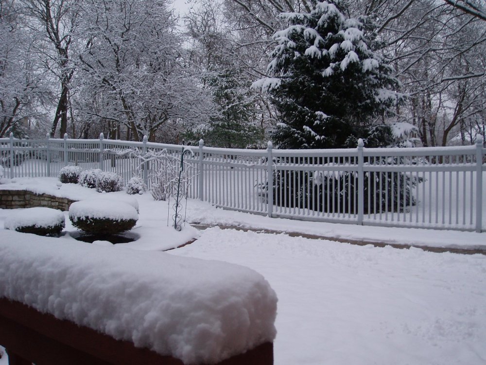
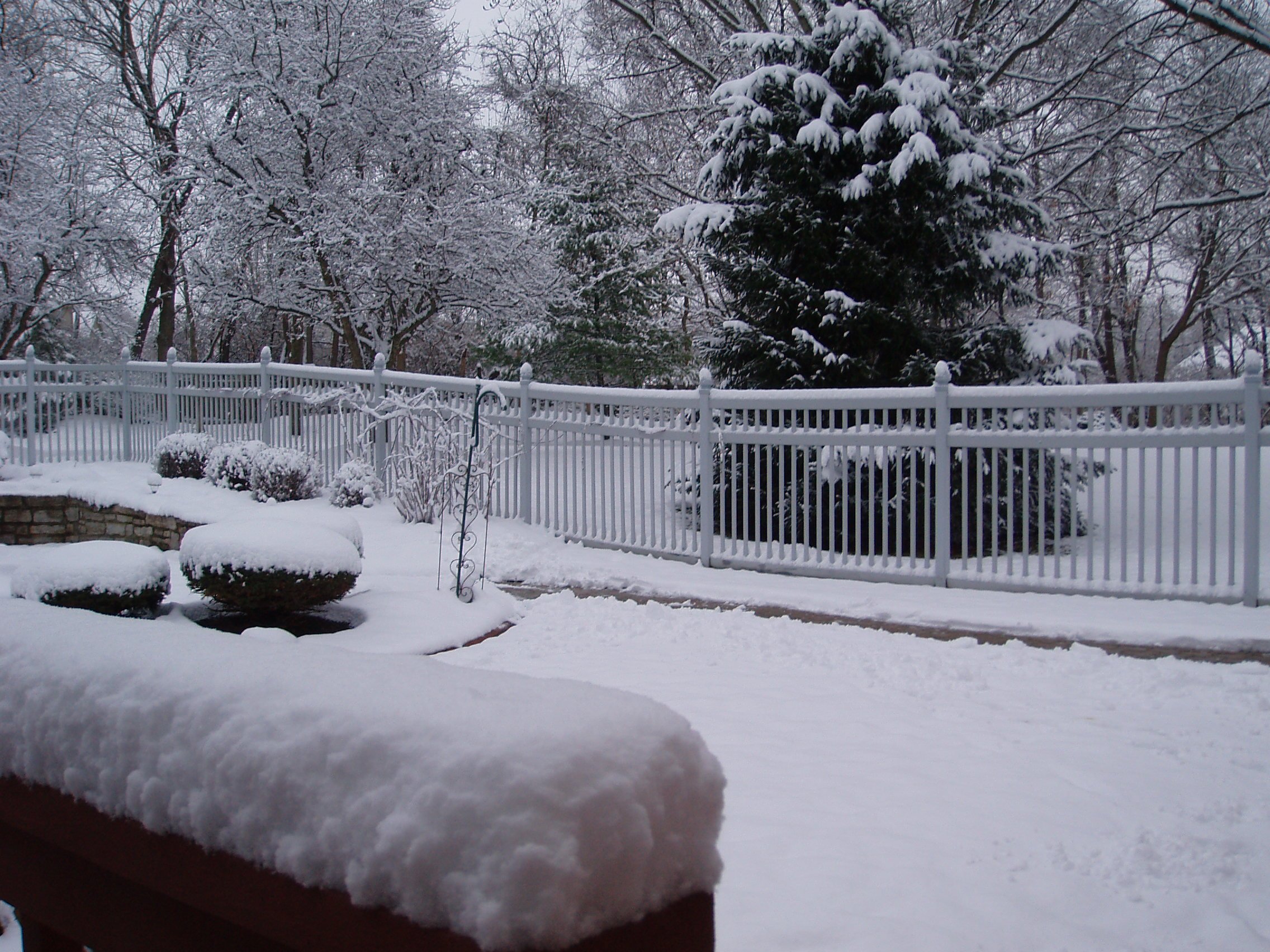
Just measured an even 3 here in Bellbrook (Southeast Dayton 'burb). With the mid winter temps....well....it's beginning to look a lot like Christmas
")
-
1
-
-
Gorgeous pix EE! Looks like we'll be getting our first covering Monday PM and some mood snow showers Tuesday as he Arctic temps move in. Hopefully a good sign of winter to come!

Northern Ohio Obs/Discussion Part 2
in Lakes/Ohio Valley
Posted
Was frustrating watching the lines of storms pivot just north of us all afternoon and evening on Labor Day!