

iluvsnow
-
Posts
322 -
Joined
-
Last visited
Content Type
Profiles
Blogs
Forums
American Weather
Media Demo
Store
Gallery
Posts posted by iluvsnow
-
-
13 minutes ago, CoachLB said:
IDK.. American models keep trending north..

Color me shocked.......NOT!

-
Close to two inches here just Southeast of Dayton in Bellbrook. We were fortunate the far western band inched a bit further NW than forecast. Throw a rock west of Dayton and its zippo. Sad that we get excited for a couple of inches of snow in mid January. That's what happens when you have to wait this deep into winter to get that white elixir. Maybe our fortunes are changing.


-
 1
1
-
-
In the the olden days....the days of yore....having a storm in the deep south....such as this....often brought our best snows. It often became the prototypical apps runner. That was the olden days,,,before the snow gods developed a deep hate for Ohio.

-
Time to move on to our next head fake....a visit from the Polar Vortex two weeks from Saturday

-
 1
1
-
-
8 minutes ago, snowlover2 said:
Very lightly snowing here in Dayton.
Yea radar is showing a slender finger of flurries extending up into the Dayton area....should be over soon. Its the only remnant we will get out of what was to be our snow event a few days ago....now turning into a 7 to 9 inch event for parts of Kentucky and Tennessee. Who did we piss off upstairs?
-
1
-
 3
3
-
-
This annual winter thread started October 3rd and remained at one page through all of December. In four days we add four pages....and zip to show for it. Winter in the OV

-
Pardon my barging into your sub-forum from up north....but thought I would impart info on just how cold that Russian air is currently. These figures from today are the coldest I have seen in many a year.....especially for so early in the season. If any of this heads our way....better order a few more cords of wood.
t Minimum Temperature Last 24h - 12/08/2021 at 18:00 UTC No. Location Station ID Amount 1 Delyankir (Russia) 24691 -77.8°F 2 Ojmjakon (Russia) 24688 -74.0°F 3 Nera (Russia) 24585 -67.9°F 4 Yurty (Russia) 24588 -67.0°F 5 Agayakan (Russia) 24684 -64.8°F 6 Iema (Russia) 24477 -63.0°F 7 Verhojansk (Russia) 24266 -62.7°F 8 Ekyuchchyu (Russia) 24361 -61.2°F 9 Segen-Kyuel' (Russia) 24661 -60.9°F 10 Ust'- Moma (Russia) 24382 -60.2°F 11 Batagaj (Russia) 24263 -57.8°F 12 Batamaj (Russia) 24656 -56.6°F 13 Verhoyanskij Perevoz (Russia) 24668 -56.4°F 14 Tugoncani (Russia) 23589 -56.2°F 15 Baimka-Baimra (Russia) 25335 -55.7°F Script courtesy of Michael Holden of Relay Weather. Data courtesy of Ogimet -
4
-
 1
1
-
-
34 minutes ago, Carvers Gap said:
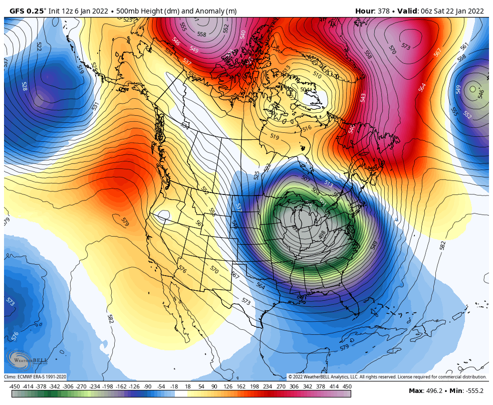
John pretty well covered the first potential winter event next weekend which will likely precede an underdetermined period of warmth which follows. The EPS certainly looks like it would kick the trough eastward(if it continue?) late in its run as AN heights move into the GOA. Just to show that we aren't talking out of our minds. This is what the CFSv2 has this morning after a similar set-up (to the EPS) on it. Will be interesting to see which fork in the road modeling eventually takes. I do my best not to talk in absolutes but it can happen. So for now, just presenting two options. The warm option has been well documented. However, I do not think it is a given right now that things turn warm and stay warm through the core of winter. I certainly don't discount that, but certainly can see that the potential for other scenarios exist. Again, my overall winter forecast ideas are warm with January and February being the warmest month. My main contention is that cold(possibly severe at times) will be embedded within those warm means similar to 17-18. IF(stress IF) the AN heights in the Aleutians move into the GOA, this is the potential that exists if that happens. The control is a little later with this evolution, and I think it is certainly possible that the CFS breaks down the eastern ridge too quickly. And again, the CFS is not a model which I trust as it has a cool bias at times. However, with the Euro suite bouncing around about as much as the CFSv2...might as well give it a look.

Carver....you give enthusiasts the best analysis on this board....about any sub-forum. Just wanted to say how much we in the Great Lakes and Oho Valley appreciate the work. I wish we had someone of your knowledge and expertise up here...but having access to your posts will suffice. Keep up the great work.
-
1
-
1
-
-
About zenith here in Dayton area......

-
2
-
-
Always good to see the first snow flakes of the season.....

-
2
-
-
Mark your calendars fellow weenies....October 7th....first digital snow of the season for the forum......not a chance in hell of happening....

-
1
-
3
-
-
Where are we in total global sea ice? How is this in relationship to the past?
-
I saw that Almanac forecast too...misread it...thought it said itchy and flaky...and wondered if it meant a warm winter with lots of fleas

-
4
-
-
So sorry Brian....just tragic!
-
1
-
-
For we in Ohio....its looking more and more likely it will be at least July before we see our first 90 degree reading. Last half of June looking to be below normal. I'll take it.
-
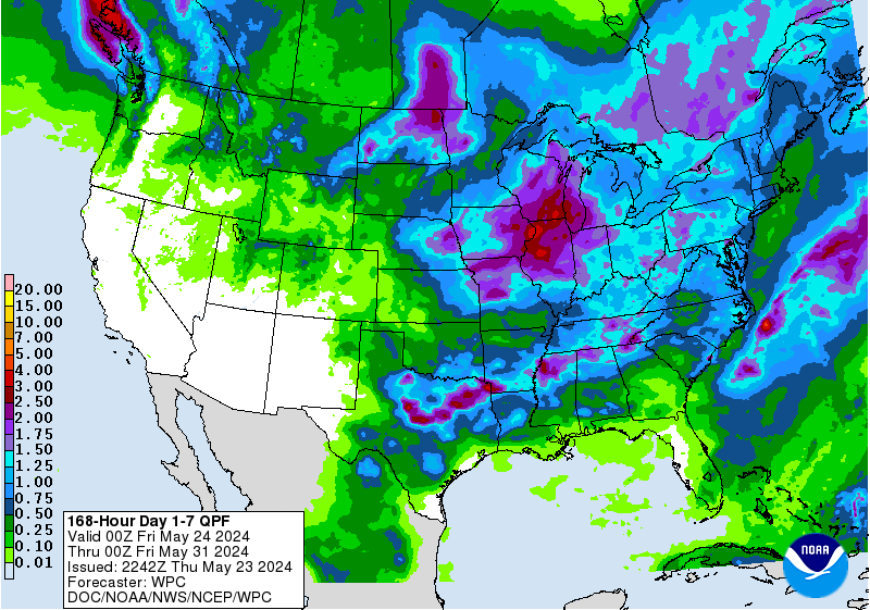
Wish we could share all this rain further west. Ohio has had a pretty Garden of Eden type start to summer.
-
EE...you will need everything from sunscreen to umbrella's and heat packs. Spring time in Ohio....gotta love it. Have a great time!
-
1
-
-
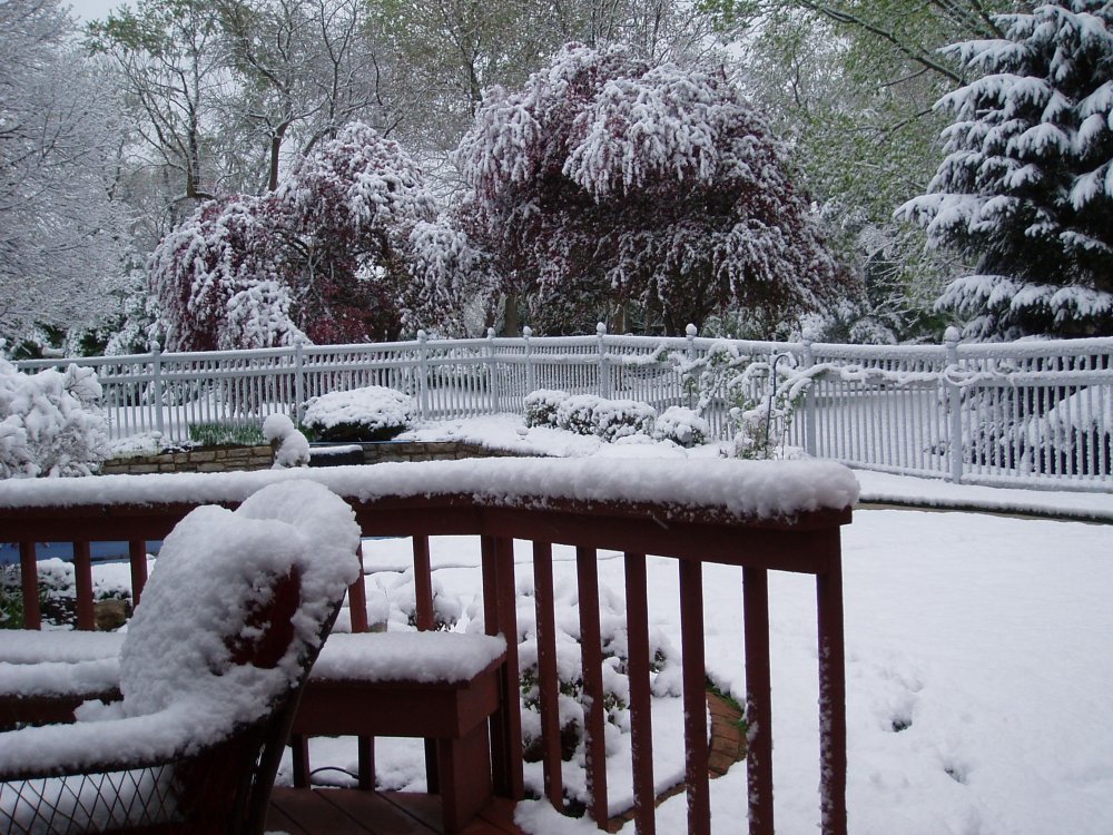
Out my backdoor in Bellbrook, OH....near Dayton.

-
3
-
1
-
-
Pretty frustrating to have one of the best snows of the winter happen on April 21st
 .
.
Hard to measure due to such variance of measurements. Some surfaces shaded by trees and others acting as mini-heat islands. Where sloped ground is away from prevailing sun angle....about 4 inches or so. Maybe some more than that. Didn't spend a lot of time measuring. All will likely be gone by sometime this PM.
The good news for snow lovers.....in just two months...the days start getting shorter again.
.
A look out the back door......
-
2
-
1
-
-
-
Bing that was my neighbor chewing out her husband for forgetting their anniversary.
-
3
-
-
I am sure most are aware of the snowstorm in the front range of the Rockies. I found a time lapse from Cheyenne, Wy this morning. Make sure you wait till the very end to see what this morning looks like.
https://webcams.windy.com/webcams/public/embed/player/1456851101/lifetime?token=see.cam
-
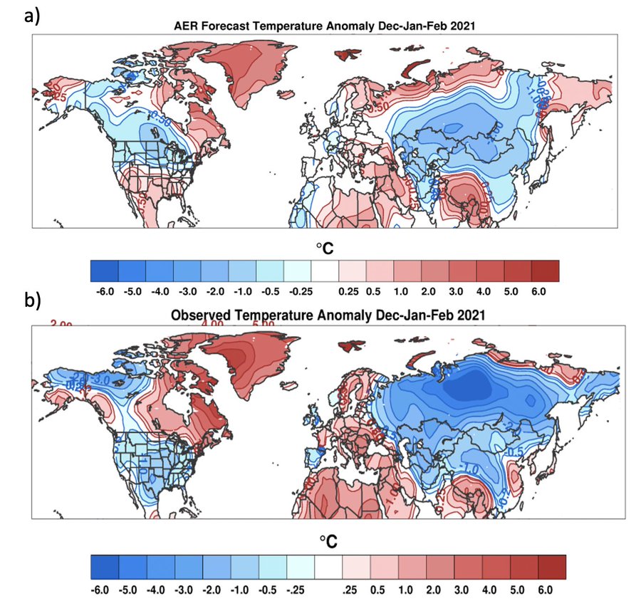
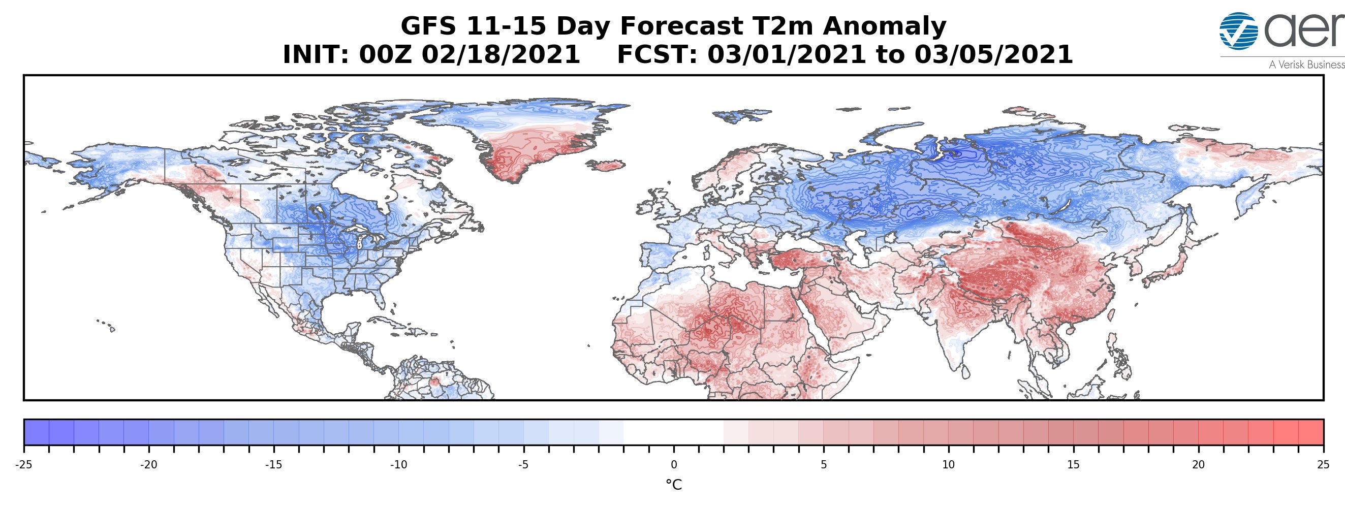
For all the flak Dr. Judah Cohen gets for his long range winter forecasts.....this past winter's was pretty good....especially when compared with other sources....
AER is Cohen's Atmospheric and Environmental Research outfit.
-
 1
1
-
-
33 minutes ago, Chicago Storm said:
he hasn’t been relevant in 10 years.
.


“Let’s Talk Winter”
in Lakes/Ohio Valley
Posted
What was once ours....is yet once more matriculating to the blessed ones up north. What else is new. Maybe next winter will change up our luck. Time to pack up our whopping 3 inches of snow this winter and bring on Spring.