Tatamy
-
Posts
2,581 -
Joined
-
Last visited
About Tatamy

-
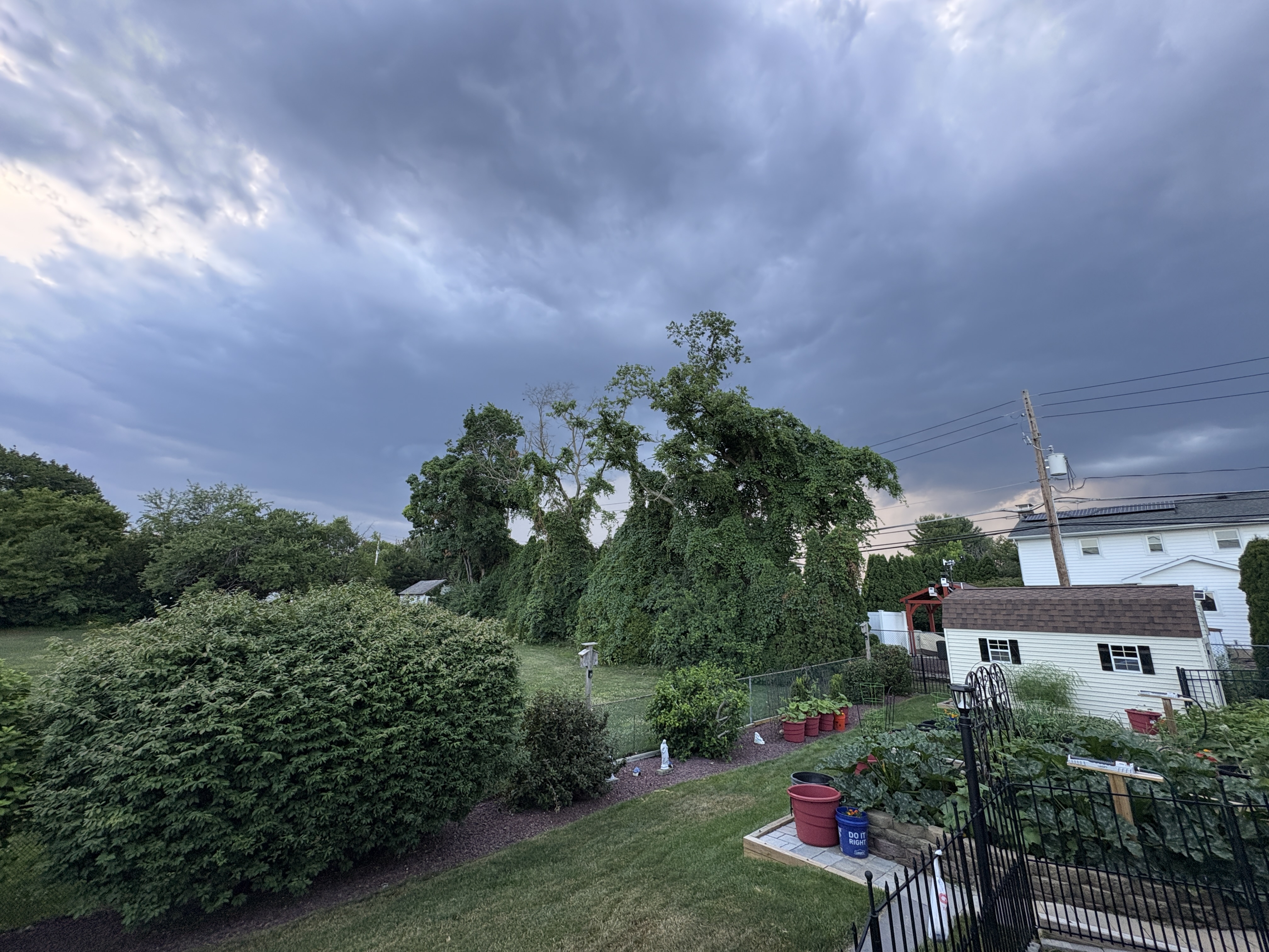
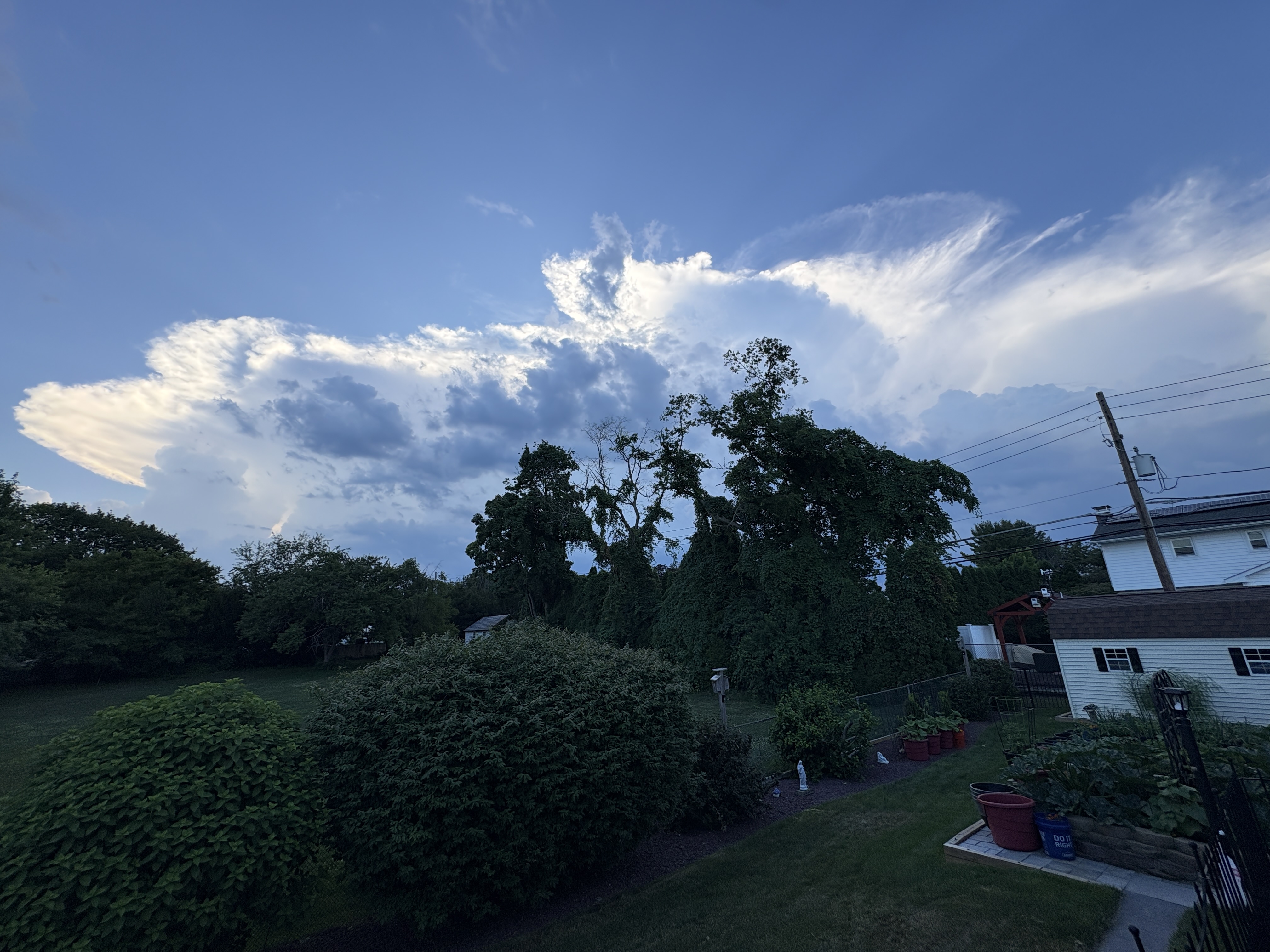
Lots of development going on not far to my west. No threatening skies currently.
-
You guys on the north shore of Suffolk Cty are looking good for some rain.
-
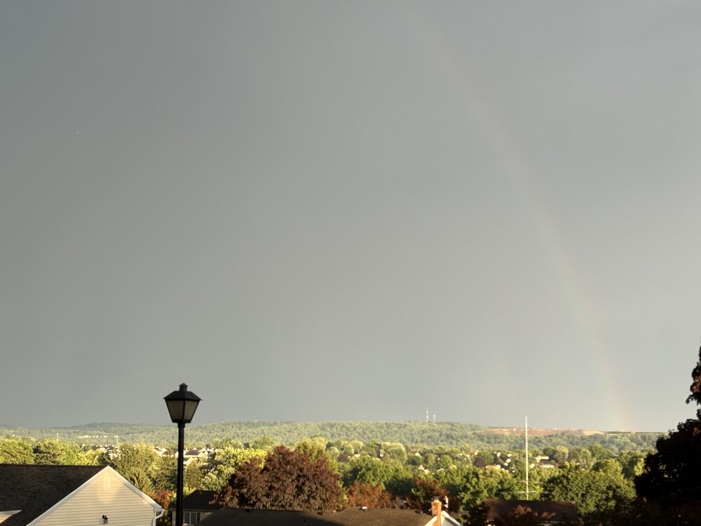
All done with this one. 0.25” of rain.
-
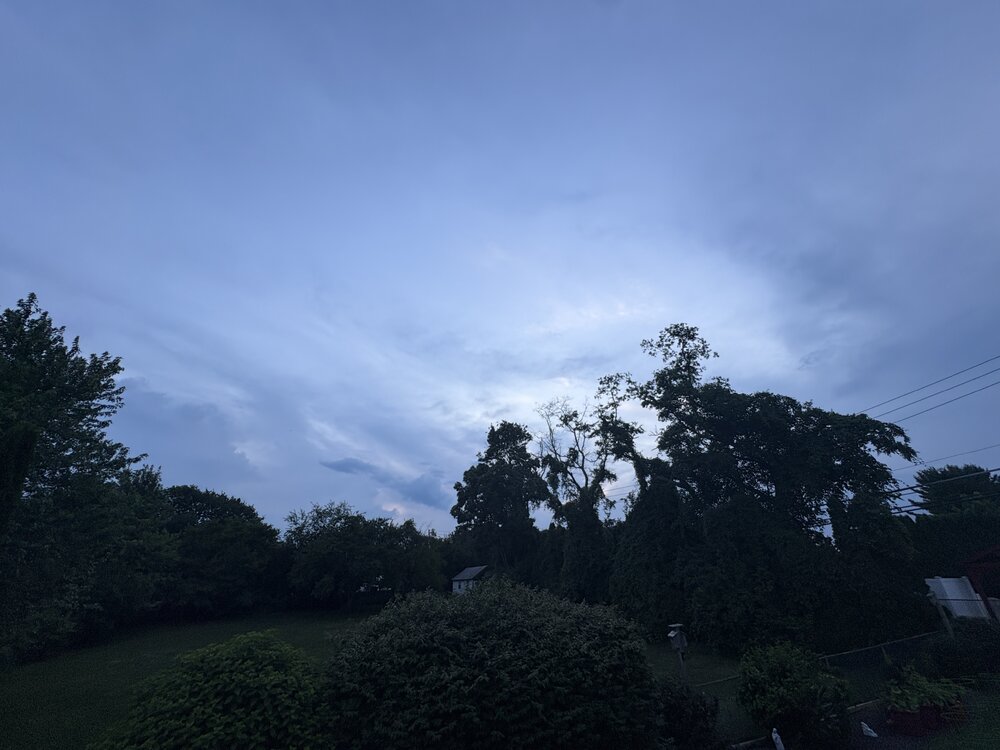
25 degree temperature drop with this storm. Very refreshing!
-
Wind gust to 28 mph with these storms.
-
Should have wind data in a few as cells are rolling in fast.
-
Decent lightning producer with 135 strikes in the past 30 minutes per my Tempest.
-
Fast moving line of storms approaching me from the NW. Does not look to be an overly impressive rain producer due to speed of forward motion.

-
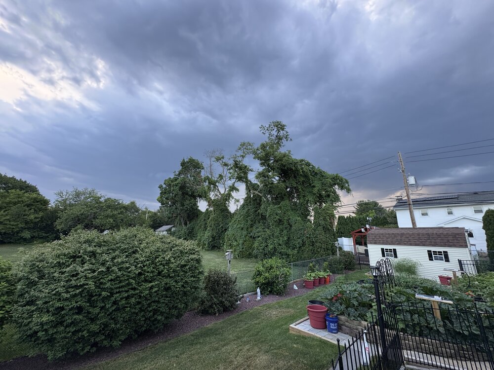
There is a line of rapidly growing towering CU across eastern PA and NW NJ. These will be producing increased coverage of showers/storms shortly.
-
Just passed through here. Some wind and rain but nothing too out of the ordinary with some rumbles of thunder.
-
I experienced a very impressive storm in Brooklyn on the Belt Pkwy while driving earlier. Besides strong winds, lightning , and torrential rains I went through a small intense hail core near Ocean Pkwy. This was big hail with stones up to one inch in diameter. I was in stop and go traffic at the time so I could not take photos. I honestly thought my windshield would be taken out! Flooding from this storm produced flooding on the Belt that blocked two lanes near Cropsey Ave. Time of this was about 6:45 PM
-

E PA/NJ/DE Spring 2026 Obs/Discussion
Tatamy replied to PhiEaglesfan712's topic in Philadelphia Region
I saw exactly what you did. It’s not common and there is already reports on social media of power outages. It relates to where these downbursts occurred. -
E PA/NJ/DE Spring 2026 Obs/Discussion
Tatamy replied to PhiEaglesfan712's topic in Philadelphia Region
I am observing power flashes with this line just west and SW of me near Bethlehem. This is not lightning. -
Reached 82 here. Liking this May in March weather.
-
2/24 - 2/25 Clipper Obs (1 - 2" for many on forum)
Tatamy replied to Northof78's topic in New York City Metro
1/4” new