

penndotguy
-
Posts
1,434 -
Joined
-
Last visited
Content Type
Profiles
Blogs
Forums
American Weather
Media Demo
Store
Gallery
Posts posted by penndotguy
-
-
Another Flash flood watch, with virtually no rain just clouds and sun, just over .25 since Monday Lol
-
with what we were through the last two days so far these storms just seem to be run of the mill T-storms, and I'm quite ok with that.

-
 1
1
-
-
This was a rotating cell that was dropping but never dropped to the ground, watching this develop was awesome.
.thumb.PNG.fffa58490f7bc27c8bfe32c8231bcc44.PNG)
-
3
-
-
6 minutes ago, hazwoper said:
Outside right now is a constant rumble that I have never heard before in my life! Nonstop for several minutes now
Thatsb exactly what we heard yesterday crazy isn't it, I swear it was that cell that spawned the Morgantown Tornado
-
1
-
-
Just now, Newman said:
Wow was just chasing that storm and caught these stones. Nearly 2", maybe bigger! I should've kept chasing it but honestly I couldn't keep up with the Allentown traffic lol


yup That's what we had yesterday
-
86 DP72 Man its muggy out there.
-
1 minute ago, CoolHandMike said:
New mesoscale discussion is out: https://www.spc.noaa.gov/products/md/2019/md0881.html
   Mesoscale Discussion 0881
   NWS Storm Prediction Center Norman OK
   1106 AM CDT Wed May 29 2019

   Areas affected...Portions of eastern OH...the northern WV
   Panhandle...much of PA...and NJ

   Concerning...Severe potential...Watch likely

   Valid 291606Z - 291730Z

   Probability of Watch Issuance...95 percent

   SUMMARY...Scattered severe thunderstorms are expected to develop
   this afternoon. Large hail and damaging winds should be the main
   threats, but isolated tornadoes will also be possible. Watch
   issuance is likely by 17Z (1 PM EDT).

   DISCUSSION...A shortwave trough over central OH and Lake Erie at 16Z
   will move eastward today across PA and vicinity. Isolated
   thunderstorms have recently initiated across central OH and
   northwestern PA in association with this feature. A belt of strong
   50-65 kt mid-level westerly winds will be present across eastern OH,
   much of PA, and NJ today. Long, nearly straight hodographs through
   mid levels and related 40-50 kt of effective bulk shear should favor
   scattered splitting supercells early this afternoon. Large hail will
   probably be the initial concern with this convection, with some
   increase in the damaging wind threat with time as storms potentially
   congeal into one or more bowing line segments as they move
   east-southeastward across PA into NJ. A marine front located over
   the NYC metro area and adjacent northern NJ will likely limit the
   northeastern extent of the substantial severe threat this afternoon.
   In addition to the large hail and damaging wind risk, isolated
   tornadoes could also occur over mainly parts of central/eastern PA
   into portions of NJ to the east of a weak surface low where
   low-level southwesterly winds are forecast to be somewhat stronger.
   Watch issuance will likely be needed across this region by 17Z (1 PM
   EDT).
Yeah I think I was a little premature with my observation earlier, Looks as if they are popping up near Erie and Eastern Ohio.
-
To my untrained eye it seems most of the action out West seems further South than this time yesterday, More in Kentucky weren't the storms starting to fire in Ohio this time yesterday? Ill take a nice Thunderstorm but after yesterdays action Im not sure I want to see that again.
-
Just now, ChasingFlakes said:
Quality footage of the formation and initial touchdown of the Morgantown tornado.
I have no doubt in my mind that cell went right over me but never touched down, we heard a very loud roaring for about 10 minutes with very strong winds. It was the most unsettling thing Ive heard.
-
1
-
-
well we have some hail damage from the hail deluge, but nothing like a few years ago, was out in Morgantown Pa last night helping some friends and wow is there destruction out there. looking at some videos and seeing the damage up close it was definitely a tornado. looks like today could be just as active out here judging by Mt Holly AFD couldget interesting about the same time frame as yesterday
-
Just now, CoolHandMike said:
Just got a tornado warning alert on my phone, but I think it's for the storm up in Berks.
Chester County has one, now
-
2 minutes ago, RedSky said:
Looks like a tornado warning now must be that storm
It was nuts for like 15 minutes we heard this awful roaring and it was still as can be then all hell broke loose with the hail and one good gust of wind and really no lightning then we got the Tornado waring so we heading downstairs. crazy
-
just had golf ball sized hail and I swear I saw a couple baseballs falling wow just a guts of wind and hardly any lightning but the hail was crazy just light rain now
-
1
-
-
have marble size hail and an awful roaring noise now for ten minutes but cant figure out what it is
-
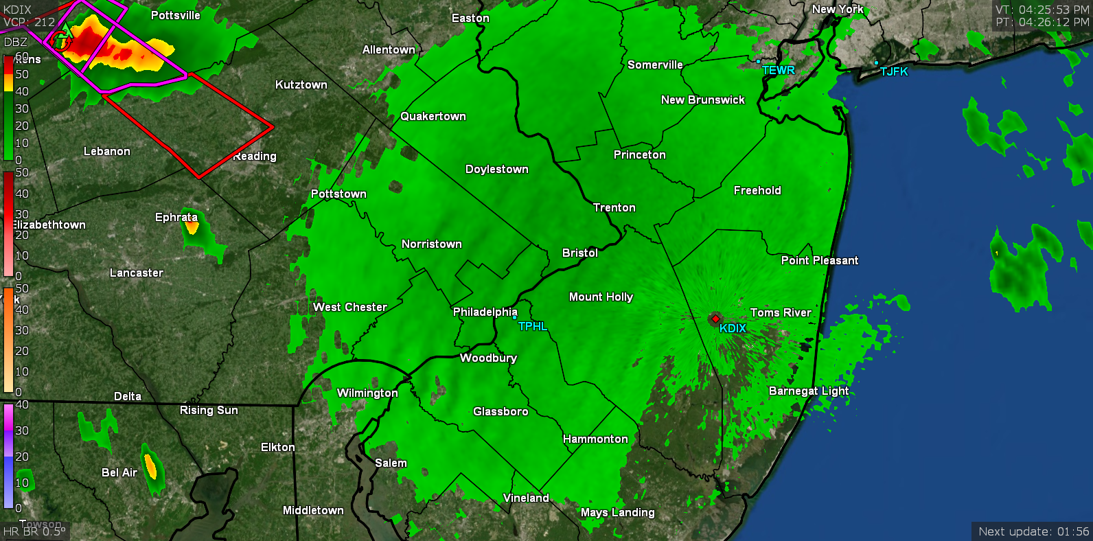
not sure but is that a Bow in that cell moving towards Reading?
-
Really Erie looking out now with cracks of Thunder in the distant. Im gonna try to get a picture as thing comes over the bluemarsh hill.
-
1 minute ago, Newman said:
You might get cored. It appears to be slightly weakening at least. But still the T-storm warning is for ping pong ball sized hail.
Yeah it looks like another cell on it's heels
-
Just now, Hurricane Agnes said:

Im right in the center of that cone
-
1 minute ago, Newman said:
Yeah decent rotation and a nice hail core. Should bear down on western Berks soon. Get ready!
They have a warning, its getting awfully dark over thatway
-
53 minutes ago, Newman said:
This could be one interesting evening. The discrete supercells moving in a SE motion will only help with rotation.
That cell moving through Schuylkill has its sights on you and I
-
78 with a Dp72 and partly sunny and humid
-
Tornado Watch Posted till 9pm.
-
1.40 yesterday and .32 so far today since midnight. 40 with moderate to heavy rain continues
-
1.30 as of 6pm and still heavy rain
.PNG.6d3a705b9041fdf68a6c6a99425b12bd.PNG)


E PA/NJ/DE Summer 2019 OBS Thread
in Philadelphia Region
Posted
Yeah and I had to open my big mouth the other day, it was crazy last night