snowfan
-
Posts
10,003 -
Joined
-
Last visited
Content Type
Profiles
Blogs
Forums
American Weather
Media Demo
Store
Gallery
Everything posted by snowfan
-
29 imby
-
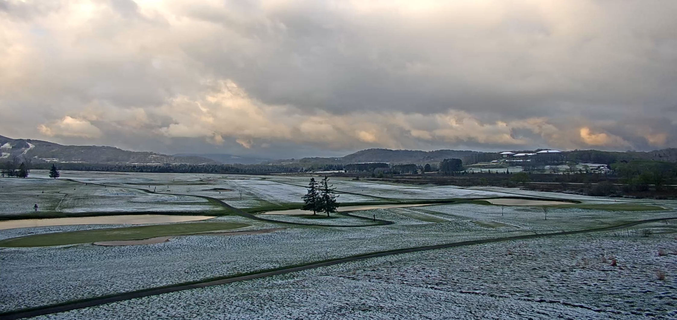
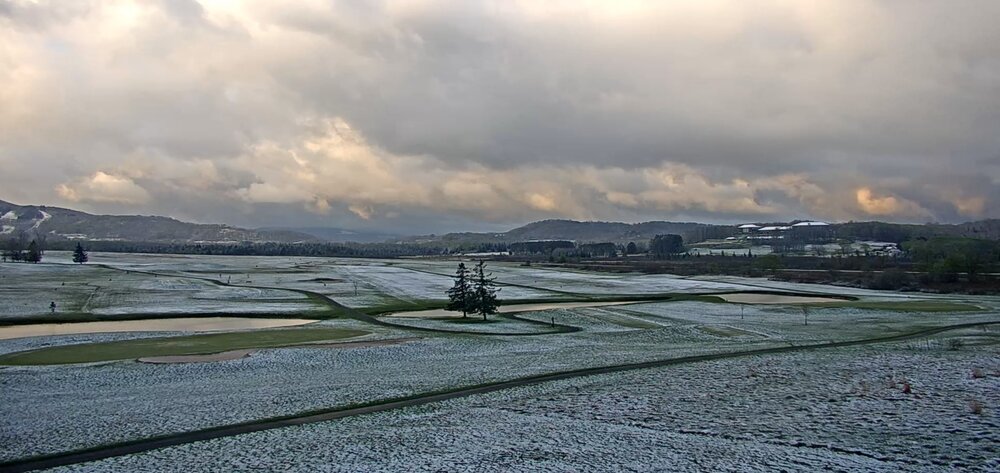
Snowed overnight in canaan
-
An early low of 36 imby. Temp has been rising since the 3am hour and now up to 42.
-
Beautiful out right now. Feels like October.
-
Damn….your first place Orioles with a seemingly improbable win.
-
Today was nice. High imby was 68 briefly in the 2pm hour. I’m already back to 57. Chilly with the breeze. Will be begging for this by Wednesday.
-
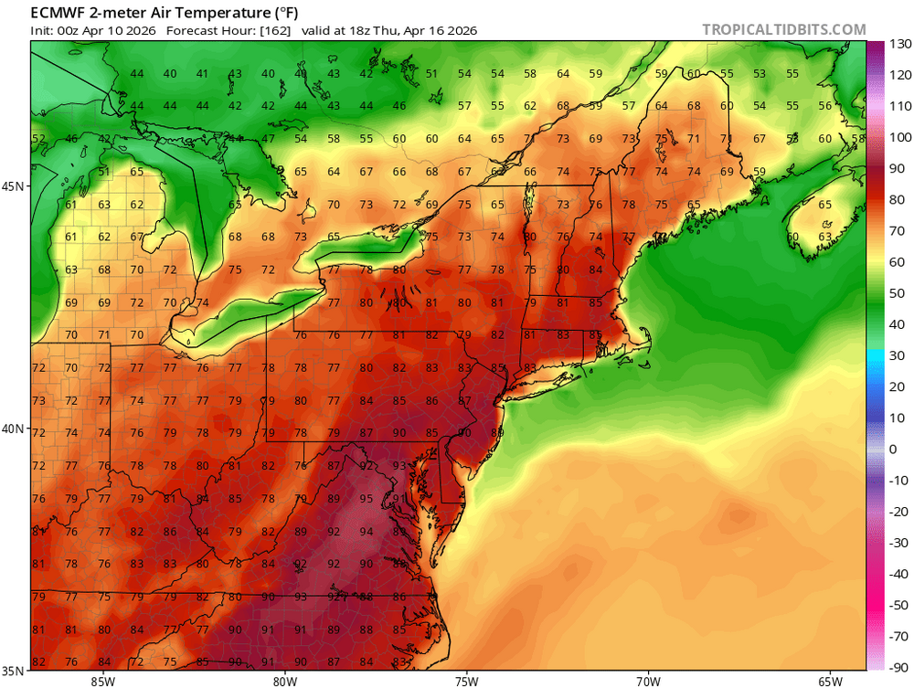
Euro is bone dry thru the end of the month.
-
Happy Masters weekend!

-
Open up the pools.
-
30 with a lot of frost.
-
32 imby. 6 in canaan.
-
Euro thru the end of the run. Going to get crispy here fast.

-
Despite a little chill in the air thru Wednesday, this is setting up to be a stellar week. Perhaps the next 7-10 days.
-
Low of 43 imby. WC at the Bear Rocks station in dolly sods is 10 this morning. That'll wake you up in April.
-
GFS and Euro both have us dry the next two weeks.
-
I think my biggest concern is the injury bug that has hit the org the past year to 18 months. And every time its a key piece. Overall very frustrating time since the end of the 24 regular season.
-
Beautiful morning w the breeze ahead of the front. Low was in the 50s but temps spiked during the 6am hour and now hitting 70.
-
Hot. Bees mating, skinks sunning on my steps, and the first black rate snake sighting of the year. June is off to a nice start!
-
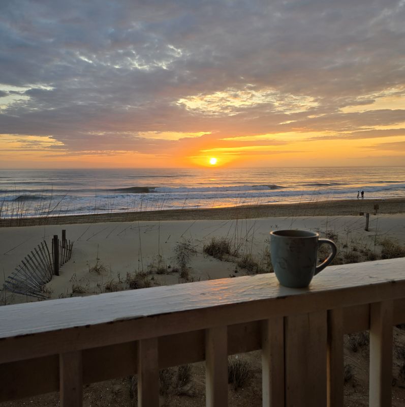
I look at radar and to my surprise....RAIN. But a beautiful morning down here in obx.

-
28 imby w/frost.
-
Cold but blooms be blooming

-
WBAL is at bwi and is reporting a 4hr wait for TSA wait. Your boy would be driving or canceling.
-
Seems like BWI is the only local airport facing challenges. A colleague was flying out to DEN yesterday. Arrived 3 hours early and the TSA line went out the building and down the departures ramp that the parking shuttle busses use for drop off. Insanity.
-

It's time to grade Winter 2025-26(now that it's actually over)
snowfan replied to CAPE's topic in Mid Atlantic
I finished 90% of climo, had accumulating snow in 4 straight months with 3 weeks of snowcrete on the ground. Grade = B. -
Pretty sure the sun was going to be out by now.