CoastalWx
-
Posts
176,188 -
Joined
-
Last visited
Content Type
Profiles
Blogs
Forums
American Weather
Media Demo
Store
Gallery
Everything posted by CoastalWx
-
Oaks take awhile.
-
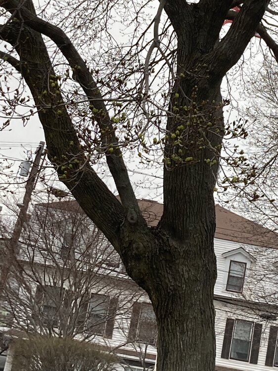
Norways starting to green bud. Leafs our next week on these.
-
Looks like the Pope will disappear like he usually does after a bust. Although, it is a holy weekend.
-
-
We knew.
-
Beer
-
Hill tops tickled warm first. Kind of neat to see from a weather standpoint. He's 65ish.
-
Mitch getting arms gnawed off by black flies?
-
Was hoping 65-70 here locally, but not sure. maybe sneaks into PVD-TAN. But SNH??? Ya that was a joke. I have no idea how much Ron Washington was assimilated into that Euro run.
-
Only 25-30F off on the 12z euro from yesterday.
-
Low clouds gone, but junky mid level stuff.
-
Breaks here.
-
It's what I expected so far. Getting nice in CT RI towards 495 belt. May take a bit in CT to mix out and tap warmer temps aloft until 1-2p or so.
-
CT, especially SW CT was never a question. I think many areas improve rapidly towards noon. Inside 495, especially NE MA into SNH will take awhile and probably not max out like areas south and west.
-
I expected morning murk and told people after lunch it will get better. Fingers crossed.
-
Will the Pope be tanning and 75 at 2pm like he hoped yesterday?
-
I think it should get better rapidly in many areas south of pike into ORH county near noon.
-
It looks like the warmer temps up by you are from post fropa lol.
-
Think the euro was drunk for those temps in CNE.
-
Looks like 2-3 days of 75-85 next week before we door.
-
Don’t you drive a barge on the river when it melts?