CoastalWx
-
Posts
176,139 -
Joined
-
Last visited
Content Type
Profiles
Blogs
Forums
American Weather
Media Demo
Store
Gallery
Everything posted by CoastalWx
-
Seems like later in week is better? To me it looked tenuous to begin with. We’ll see. Latitude obviously will win.
-
Congrats sand dunes of Plymouth.
-
I’ve had the same feeling two winters in a row. Trust me, I don’t like it. Things will be better up your way.
-
It will cool off heading into early Feb. But verbatim it doesn’t appear that it will last for any meaningful time. I guess that’s my issue. Sitting here with another terrible ratter of all rats so yeah it’s frustrating.
-
It’s not the longest since 2015. We had several cold snaps since, most notable near Christmas 2017 into Jan 2018.
-
Later next week holds more promise for a SWFE I think. I’m done commenting because it seems to drive people to the Tobin, just not a fan of the look in the long range. Maybe it changes. That’s JMHO.
-
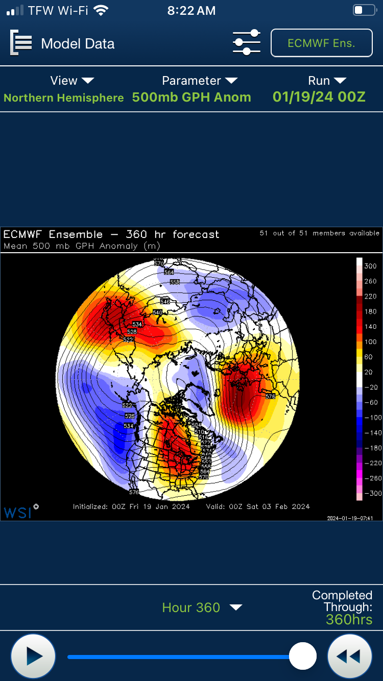
Go forward and check out that PAC blood bath.
-
GEFS (which aren’t great) in the 11-15 day look better than the EPS which are hideous.
-
You could get C-1” in spots. BOX finally took them down yesterday after falling for the terrible HREF which sucks until the event starts.
-
All kidding aside this isn’t an extraordinary stretch below 32.
-
I like the all rain coastals. Cute.
-
LOL like 2 days?
-
Where are the Mansfield records posted? NWS BTV?
-
You honestly didn’t think we’d catch a break did you?
-
MJO hasn't meant much on the classic phase composites that we know of.
-
What a puke pattern on models, but we might luck out in our own little corner.
-
Actually squishes the system south verbatim but whatever. Nice to see.
-
What a man high next week on GFS. We hope.
-
Some models barely get you anything. My guess is maybe 1-2. and hope for double.
-
Yeah it doesn't pass the sniff test to me at all.
-
Definitely sticks out. I mean any reason why they are so different compared to Stowe?
-
We definitely have. But man I'm crying Uncle at this point.
-
LOL I wouldn't go that far. Maybe we do a Jan 05 and be on the good side while the country torches.