

CoastalWx
-
Posts
175,998 -
Joined
-
Last visited
Content Type
Profiles
Blogs
Forums
American Weather
Media Demo
Store
Gallery
Everything posted by CoastalWx
-
The GFS is more aggressive with the GL low compared to FV, but they both sort of shear the energy out.
-
That's a SWFE.
-
GFS looks crappy for Sunday.
-
Congrats Thimble Islands.
-
Meh, just refrain from ordering take out once a month and should be able to afford.
-
We're sensitive? Anywho, Hopefully Sunday is half decent. We'll see what happens next week, but certainly looks active through the end of the month.
-
When are we invited? https://www.nbc.com/saturday-night-live/video/schmitts-gay/3505912
-
That was as close to 12/92 as I have seen since that date. I paid my dues.
-
I know! I mean if that wasn't pay back, I don't know what is. But then he turns his anger to Wilmington and gets all bent out of shape that they had 3.5" more. WGAF.
-
Ray, you may lose out to Will by 2" in a storm. When have you been completely porked?
-
You pretty much had what everyone else had yesterday.
-
We've been looking, but it's insane on the S Shore. We don't have a huge reason to move, just one of those cases where if the right thing came along, we'd make a move. The amount of people wanting to go over, waive inspections, pay cash etc. is nuts. It's also about what you are willing to live by. Chances are, you'll have a much tighter budget moving into another house given the prices. I think there is something to be said about finding a happy medium and being comfortable. Maybe that means you hold off a year or two until it cools.
-
How about 2" of rain?
-
More like a tug of something else. Only shot is CT and that is probably near Merrit south. Are you using the same goggles that gave 4-7" with lollies to 10" yesterday?
-
Maybe a half in on the islands where Ryan parties?
-
Fade
-
6z Euro looked a little better for Sunday.
-
Looks ugly on the euro next week.
-
I think that more south. Probably too dry.
-
The snow still piled on the trees is awesome. I love that, big fetish for me. The day after Halloween was one of my favorites in a long time. Just caked onto everything with leaves on the trees to boot.
-
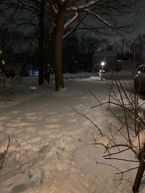
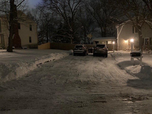
Not a sexy pack as some have, but must be at least 10-11" in the shady spots. Will have to check tomorrow.
-
I saw lakeville like 1.5”. Must have been just far enough north.
-
2.9 to be exact.
-
About 3” does it here
-
It never really had a chance on guidance.


